A wonderful walk with views of Windermere, Ambleside and surrounding fells. Our route was much quieter than if we had walked from Ambleside!
WAINWRIGHT BOOK: The Far Eastern Fells Book 2
DIFFICULTY: 2 WALK LENGTH: 4.9 miles (3hrs 16mins).
DATE and START TIME: Wednesday 16th August 2017 Start time 9.47pm – Finish time 13.03pm
PARKING: Troutbeck, past the Mortal Man Pub on till we found a parking space on the left. (NY408 027)
ROUTE WALKED: Troutbeck -Nanny Lane – The Hundreds – Baystones the summit of – WANSFELL – Wansfell Pike (often mistakenly believed to be the top of the fell) – and back down Nanny Lane to Troutbeck.
WALK DETAILS: 4.9 miles 3hrs 16 mins, ascent 1426ft.
HIGHEST POINT: Wansfell – 489m/1640ft.
WALKED WITH: Pal and Mila (aged 14).
WEATHER: Surprisingly good weather throughout though a bit chilly at times, windy on the summit.
We drove past the Mortal Man in Troutbeck keeping an eye out for somewhere to park. We ended up parking at the further end of the village (before you get to Annie’s Cafe Tea Shop).


Wainwright describes the Troutbeck side of the fell (the eastern side) as dreary though he does say that it has the advantage of the sudden revelation of the view once you reach the ridge; it also seemed to be a much quieter route. We planned to visit Wansfell first so that we would have the best views in front of us on the ridge route to Wansfell Pike.
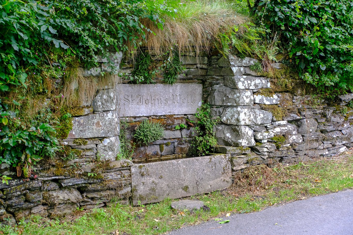
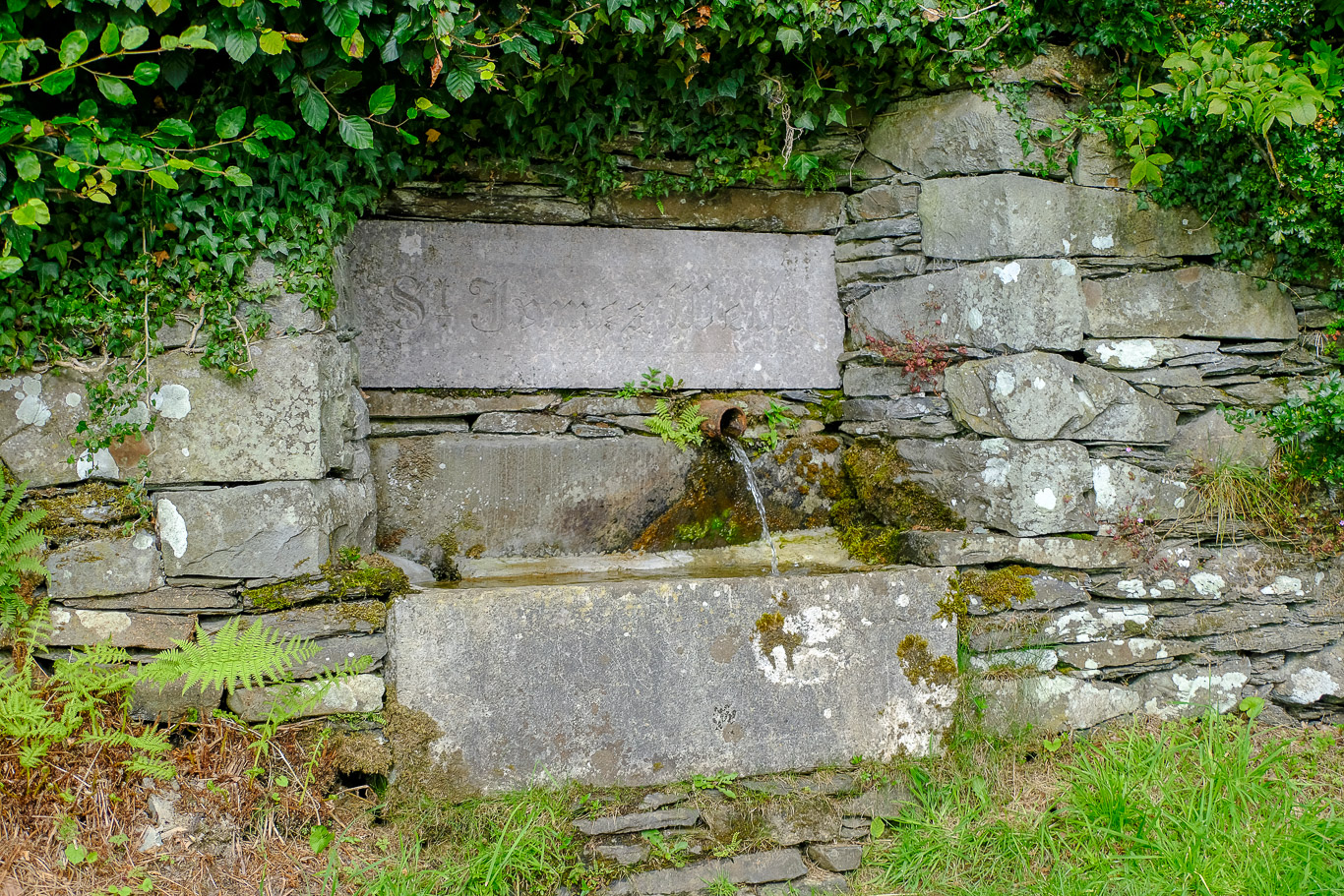
We walked back along the road past the three wells in the wall: St. John’s Well; St. James’ Well and Margaret’s well; once the source of water for the village.
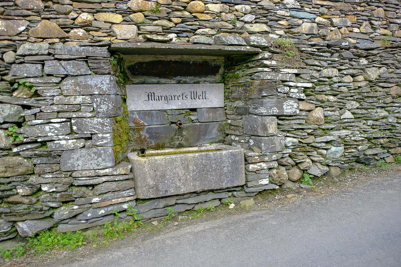
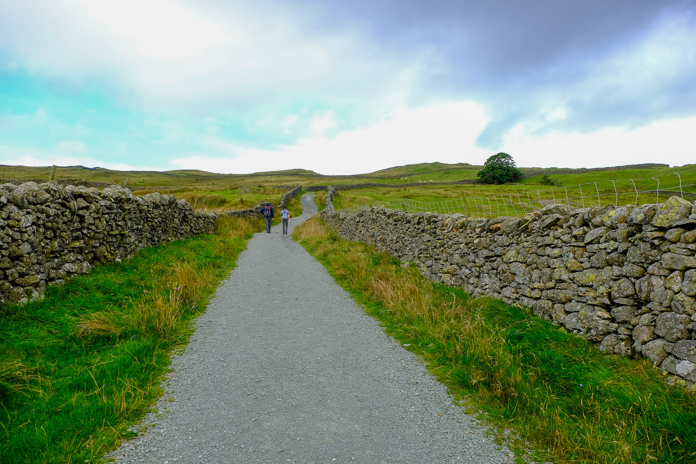
We’re heading for Nanny Lane which is 90 yards/ 83 metres from Margaret’s Well . . . here we are at the turnoff.

. . . so, this is where we took a left into Nanny’s Lane.

A broad track to follow . . .

Looking back down Nanny Lane with Sour Howes in the background. Wikipedia tells us that Sour Howes is about five kilometres east of Ambleside. between the Troutbeck and Kentmere valleys and is one of the two separate fells on Applethwaite Common (the other being Sallows).

It soon gets warmer as we walk the fairly steep lane . . .

 This path would take us straight up to Wansfell Pike, often mistakenly taken as the top of the fell. Instead we continued along Nanny Lane and would visit Wansfell Pike later.
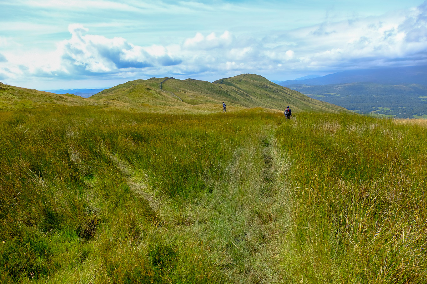
 We’ll be visiting Wansfell Pike on the left after visiting the summit of Wansfell first. At this point Nanny Lane becomes less of a track and more of grassy, muddy path.
 The recent rain has made the route very muddy in places and along the ridge route we were to walk later it was extremely boggy in places.
 Wonderfully quiet up this route and a chance for Pal and Mila to have a good chat.
 Lake Windermere, the largest natural lake in England, comes into view . . . left to right: Gummer’s How; Lake Windermere, forest covered Claife Heights and Grizedale Forest behind.
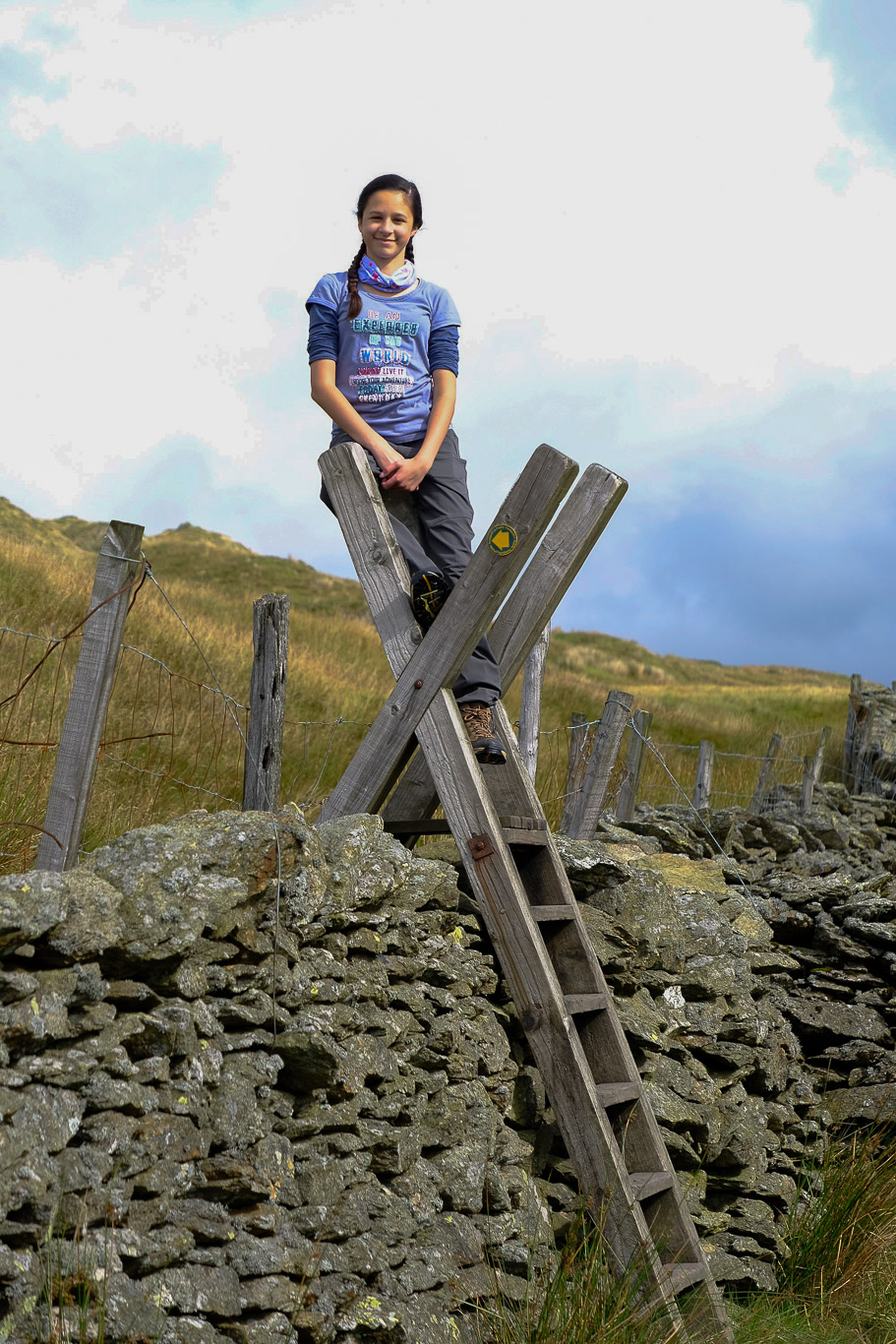
 We took the stile here off Nanny Lane and followed the route up towards Wansfell.

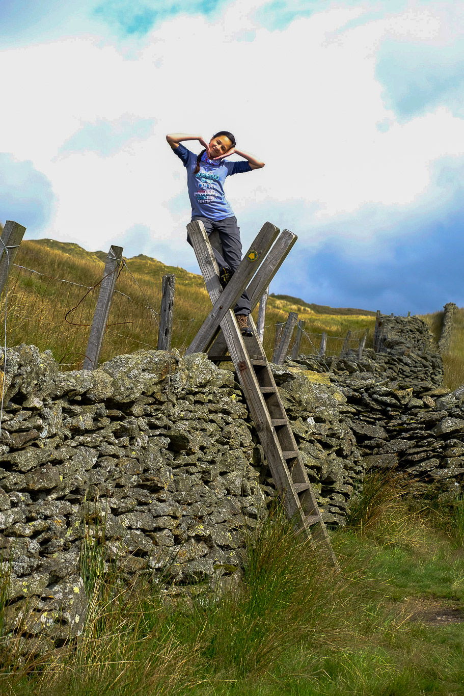
So angelic looking, our little princess is growing up so fast, too fast!
Despite the grey clouds, we managed to avoid any showers. The final boggy short climb to the summit.
 Dramatic clouds and no other walkers in sight . . . Is that Dodd Hill ahead? Next time I’d like to investigate the views from there.

The summit cairn on Wansfell.

Now that Mila has a phone signal . . . it’s time to catch up . . .

Many walkers visit Wansfell Pike far fewer visit the summit proper. Mila, a great cairn topper!

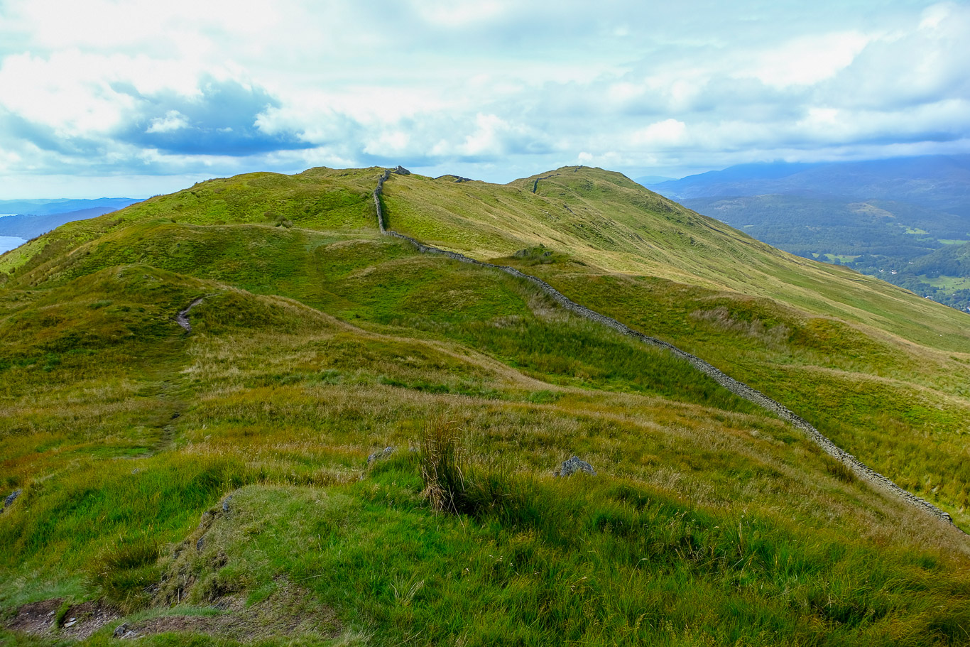
Wansfell Pike in the distance, often mistakenly thought of as the summit of the fell. We would be following this ridge route.

Another photo showing Gummer’s How – Lake Windermere – Claife Heights – Wansfell Pike.
 South to west, further west than the photo above with low cloud looking quite dramatic and blurring the view, from Wansfell Pike you can just about see Top o’ Selside; Black Crag; Wetherlam with Todd Crag in front.

Left to right: Loughrigg Fell with Lingmoor Fell behind and Silver How with Grasmere lake in front. On the far right, Nab Scar with the slopes of Red Screes in front.
 A close up of Grasmere Lake with the slopes of Loughrigg Fell on the left and Silver How and Blea Rigg beyond Rydal with The Langdale Pikes beyond. On the far right of the photo is the slopes of Nab Scar and the beginning of the Fairfield Horseshoe which we completed last year.

A close up of Loughrigg Fell.
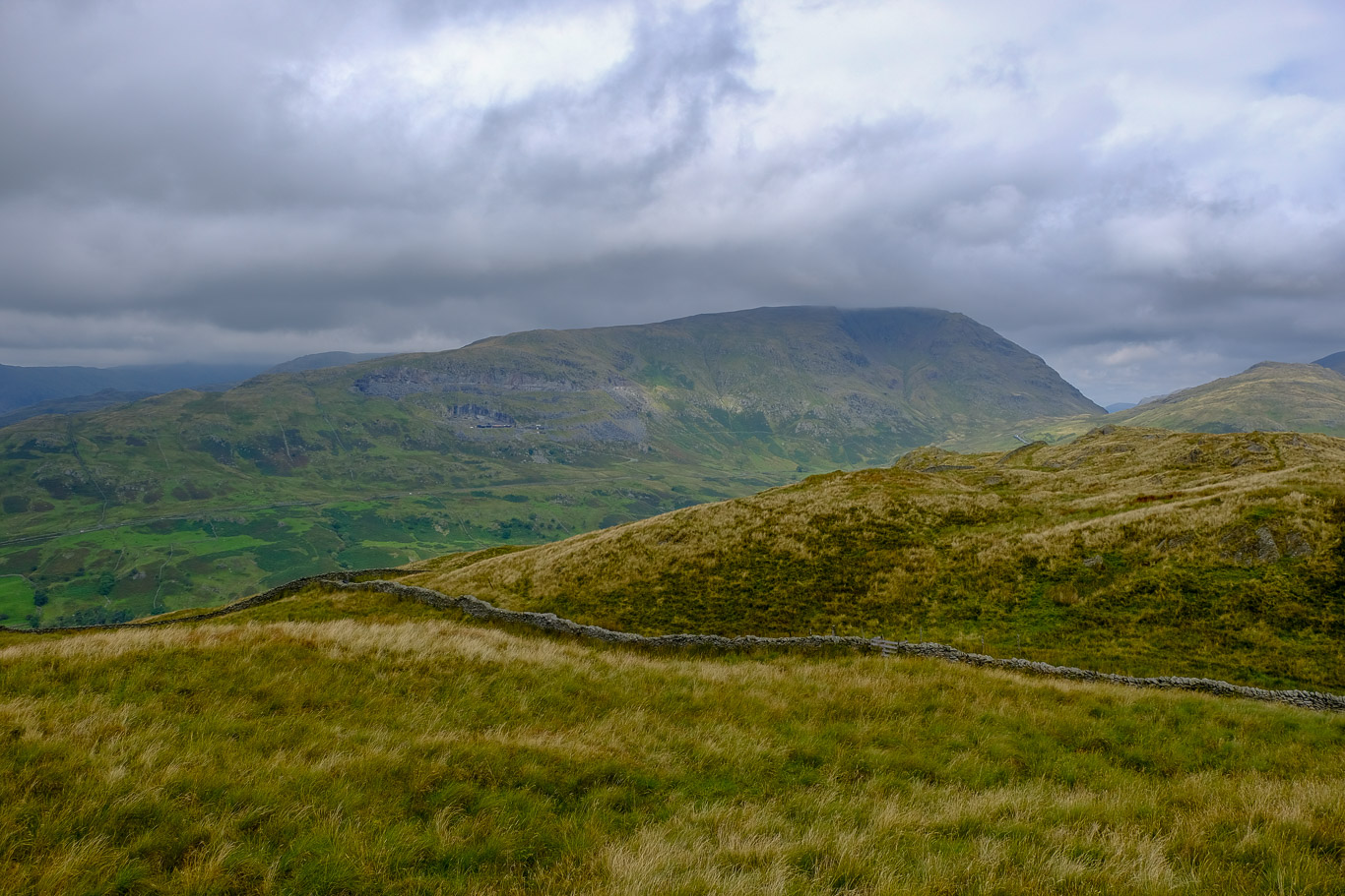
 Looking across to Sallows and Sour Howes with Applethwaite Quarry the darker patch in the centre of the fell (to the right of centre of the photo) and Garburn Road on the left of the quarry. Whitbarow in the distance on the right.
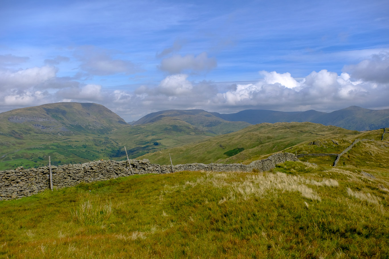
 North to east. Red Screes on the left with Kirkstone Pass in the valley and Place Fell just visible at the head of the valley. In the centre of the photo is St Raven’s Edge with John Bell’s Banner behind leading to Caudale Moor then Threshthwaite Mouth and further round Froswick; Ill Bell and Yoke lost in cloud.
 If I’d remembered what Wainwright had said it would have been interesting to have continued along here to Dodd Hill as he says, “Dodd Hill is the finest viewpoint for the Troutbeck valley” (Book 2 Wansfell 5). I think Dodd Hill is out of sight on the right and the route is probably the faint path right behind Mila.


Then back up to the summit of Wansfell . . . with Wansfell Pike in the distance.

A stunning view of Wansfell Pike in the distance taken from the Wansfell’s summit cairn and the ridge route we’re about to follow to Wansfell Pike with its popular route up from Ambleside.
 A close up of Lake Windermere, a ribbon lake formed in a glacial trough and the largest natural lake in England, snaking into the distance.
 Red Screes with Raven Crag just below and the Kirkstone Quarries in the area known as Snarker Pike. The Kirkstone Pass is just visible in the valley. Great Mell Fell and Place Fell on the right barely visible at the head of the valley.
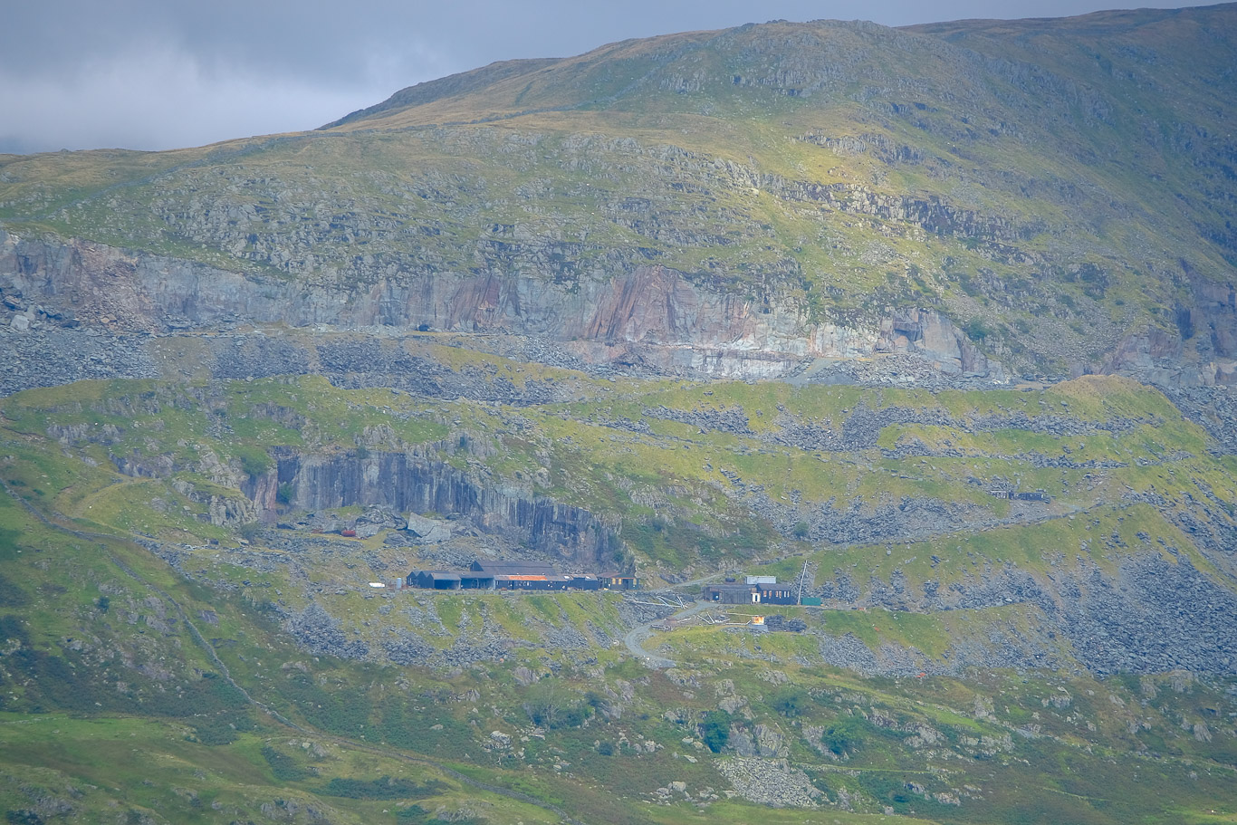
 A close up of the Kirkstone Quarries on Red Screes.
Beautiful colours . . . Nab Scar is the dark fell in the centre right of the photo (beyond Red screes in the foreground).

On the far right of the photo you can just see the Kirkstone Quarries (Petts Quarry) on the slopes of Red Screes; the dark fell behind Red Screes is part of the Fairfield Horseshoe being Nab Scar and Heron Pike and barely visible sandwiched between Red Screes and Heron Pike is Low Pike. Grasmere lake is on the left with Silver How beyond bathed in light and the slopes of Loughrigg on the far left. On a clear day you would be able to see the Langdales beyond.

Wonderful views . . .

Now it’s time to follow the ridge route along to Wansfell Pike . . . which proved to be extremely boggy in places!

A panoramic view . . .

Looking back . . . north to east: Place Fell in the dip of the valley (Kirkstone Pass); St Raven’s Edge; John Bell’s Banner leading to Caudale Moor (the dark fell to the left of centre); Thornthwaite Crag; High Street; then the two triangular pointed fell in the background are Froswick and Ill Bell; then along the ridge to Yoke. Dodd Hill is in front, which we should have visited for its views of the Troutbeck valley!

You can just about see Ambleside on the left of the photograph.

Still no other walkers in sight . . .


You just need to follow the line of the stone wall . . . and there’s Wansfell Pike ahead.

A close up of Ambleside.

Up over the stone steps . . .


Mila standing on the stony outcrop of Wansfell Pike, the destination of most walkers up Wansfell.

Looking back . . . the view north to east – Red Screes with Place Fell just visible at the head of the valley; Caudale Moor; Thornthwaite Crag; Froswick and Ill Bell.
Further round to the east . . .

Wansfell Pike

You can’t fly Mila . . .


Mila on the rocky outcrop of Wansfell Pike.


Stunning views.

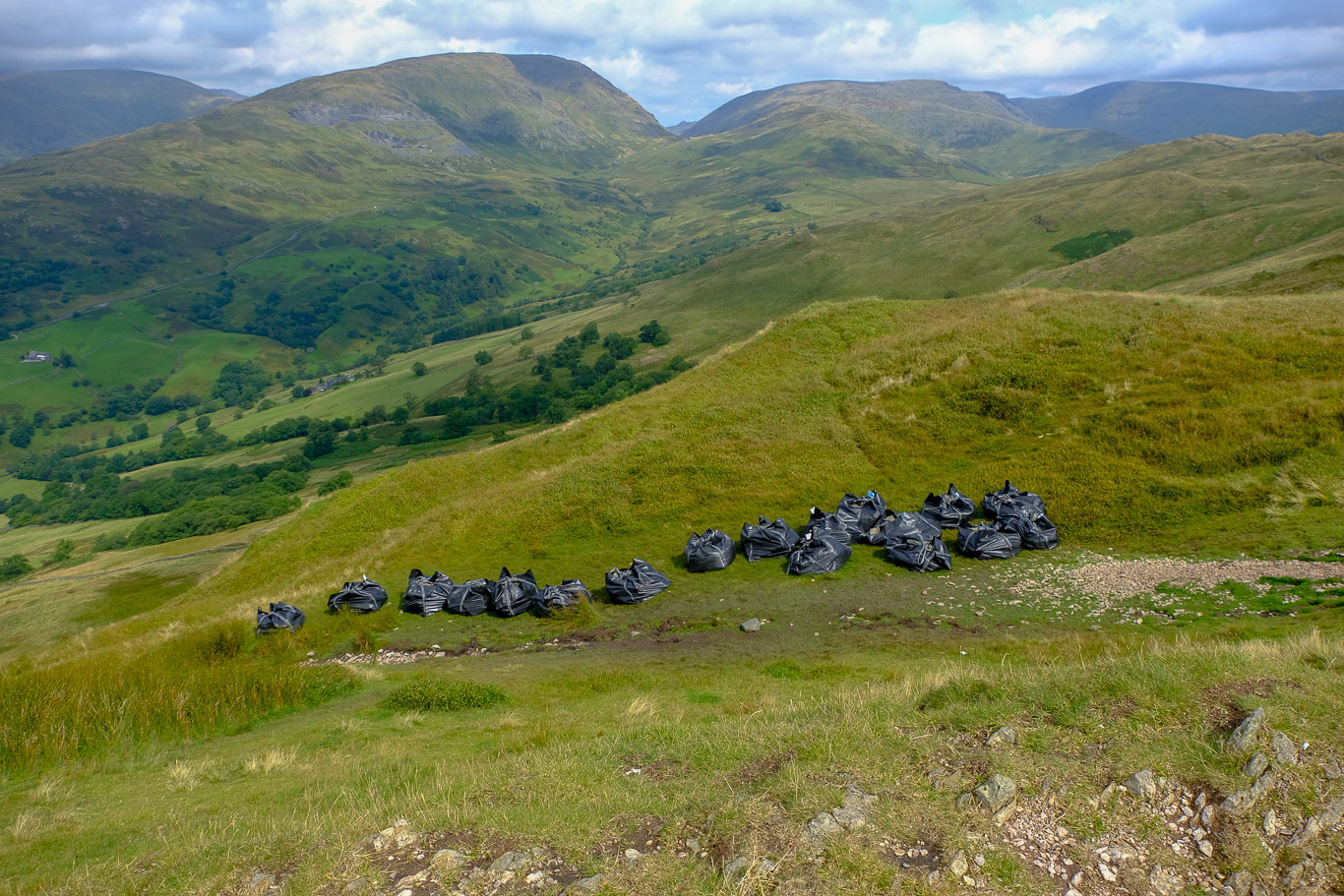
Bags of stones are dropped from the air to be used by ‘Fix the Fells’ to create footpaths to avoid further erosion of the paths on the fells. Red Screes left of centre and the Kirkstone Pass (with Place Fell just visible in the dip) then Caudale Moor; the darker dip is known as Threshthwaite Mouth leading on to Thornthwaite Crag.
Pal and Mila enjoying the views.
 There’s a steady stream of walkers coming up from Ambleside now, far busier than our route up from Troutbeck.


Mila doing her ‘angelic’ look!
 Do you think Mila is a bit hungry?


Now on our way back down . . . it’s still really quiet on this side of the fell.

Wonderful peace and quiet.

Looking back . . .

Not far to Troutbeck and the car now.


Back onto Nanny Lane . . .

Almost back to the road at the end of Nanny Lane . . . turn right at the end of the lane, past the three wells in the wall and there will be the car, not far now. A great walk!
