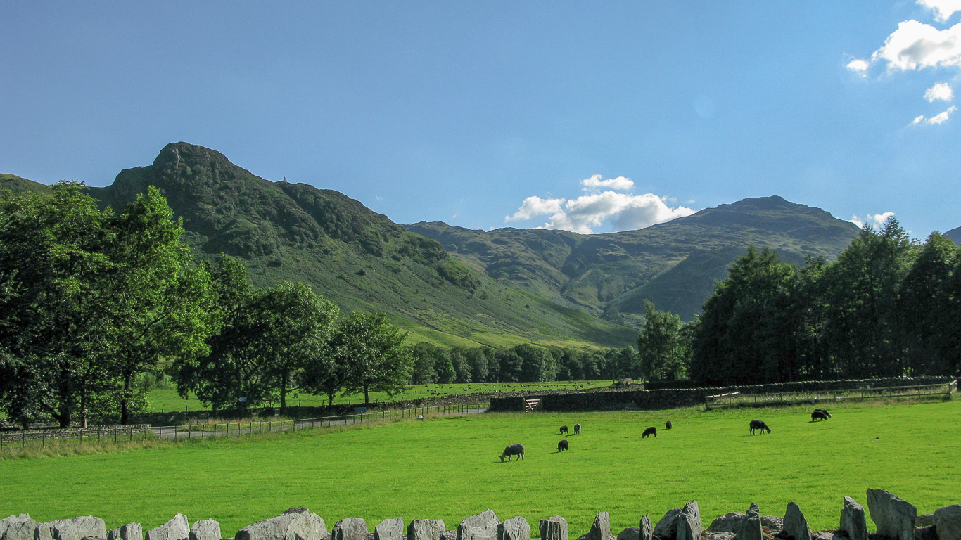
A glorious day exploring the Langdale Pikes starting with a wonderful valley walk following the Cumbria Way.
WAINWRIGHT BOOK: The Central Fells Book 3
DIFFICULTY: 3 WALK LENGTH: Full day
DATE and START TIME: Wednesday 12th August 2015 Start time around 9am – 4pm.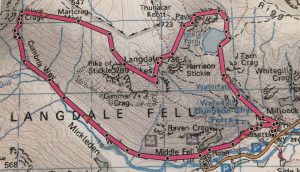
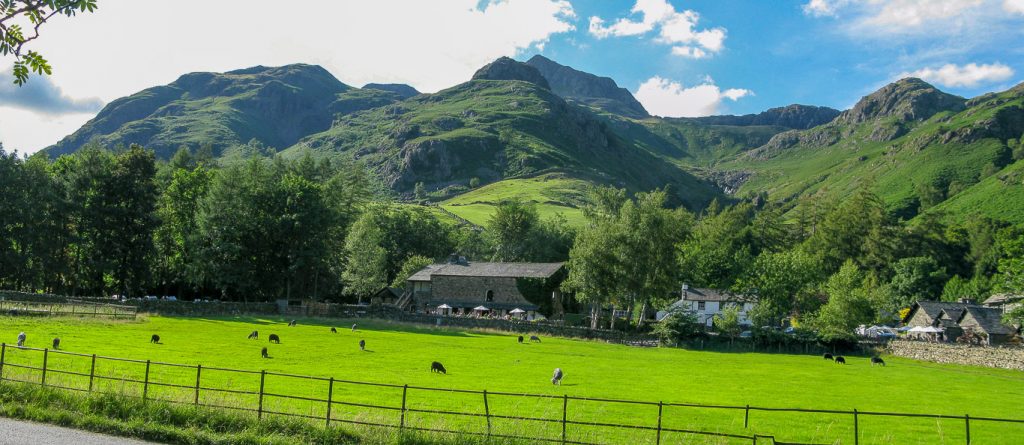
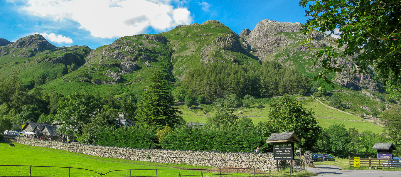
PARKING: Stickle Ghyll National Trust Carpark near the New Dungeon Ghyll Hotel, Great Langdale, Cumbria. (NY294 064)
ROUTE WALKED: Dungeon Ghyll – Mickleden Valley – PIKE O’STICKLE – LOFT CRAG – HARRISON STICKLE – PAVEY ARK – and back to the New Dungeon Ghyll Hotel car park.
WALK DETAILS: 6.9 miles, a very leisurely 7hrs including lunch and lots of coffee breaks.
HIGHEST POINT: Harrison Stickle – 736m/2414ft.
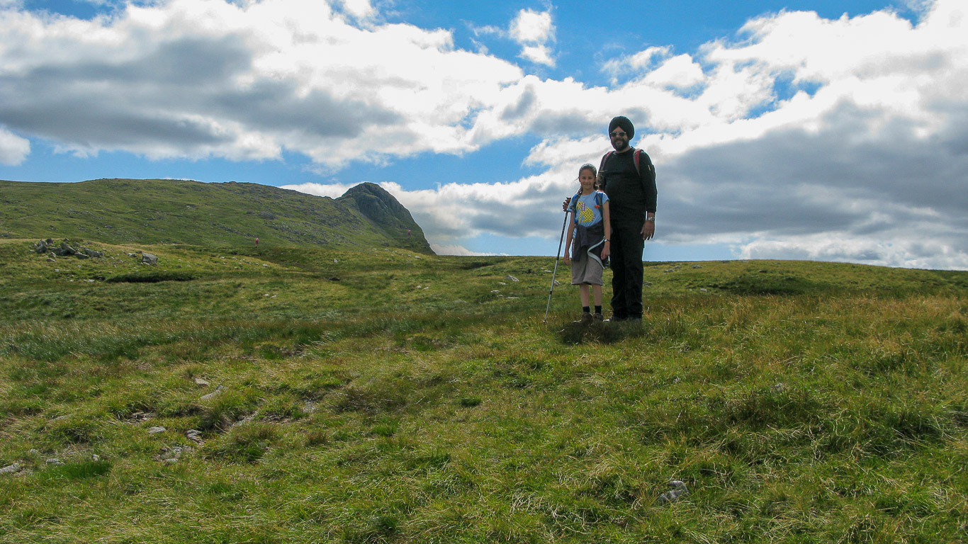
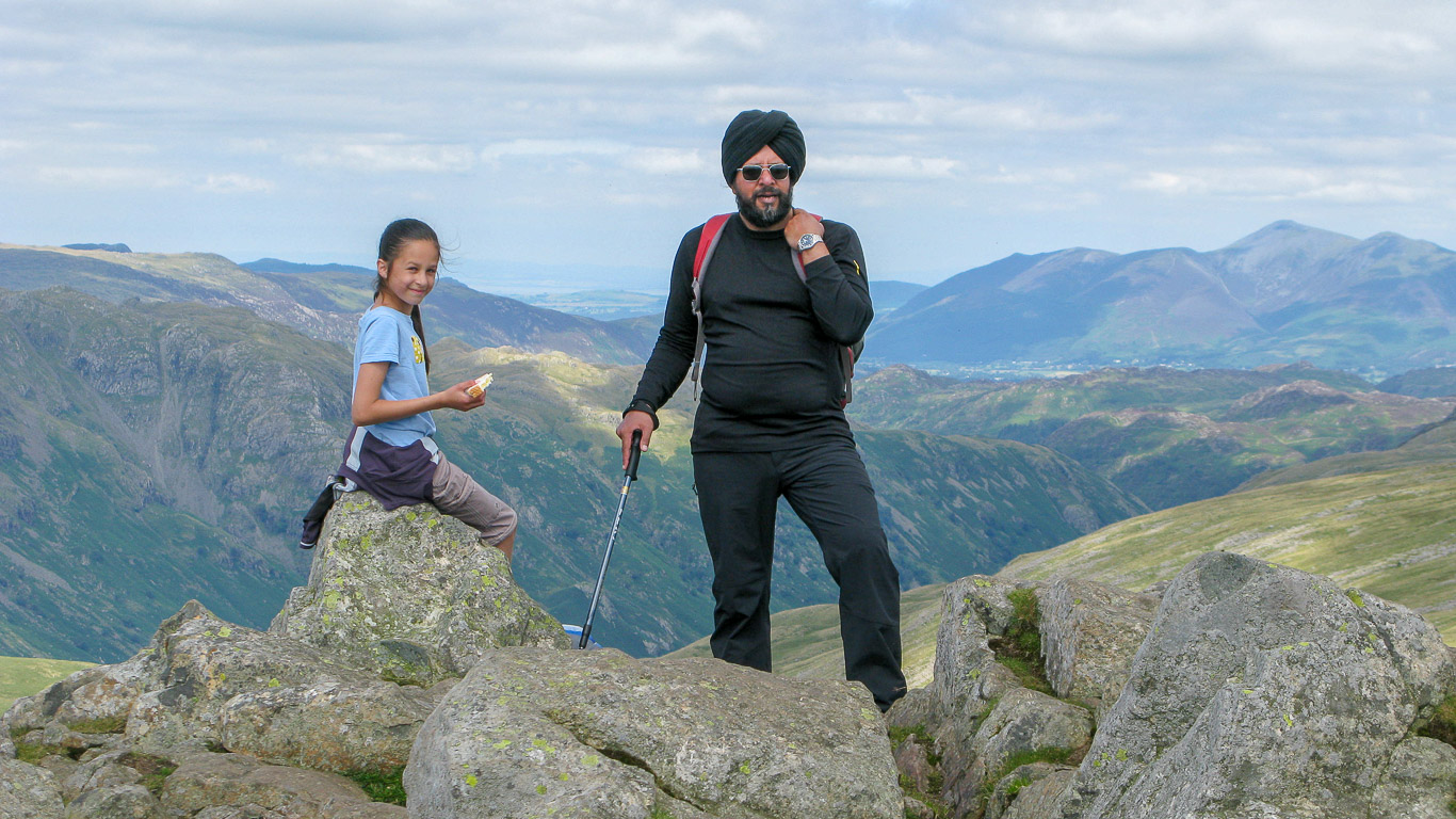
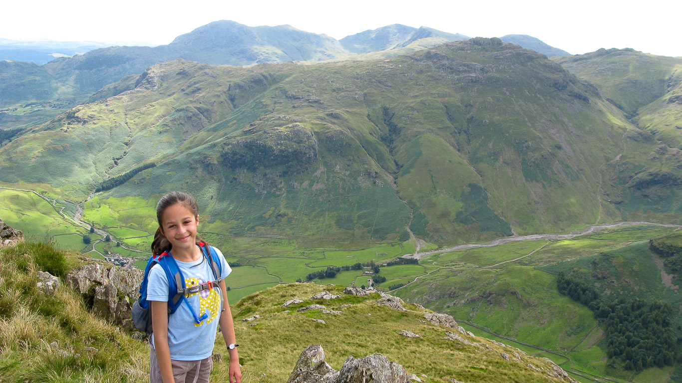
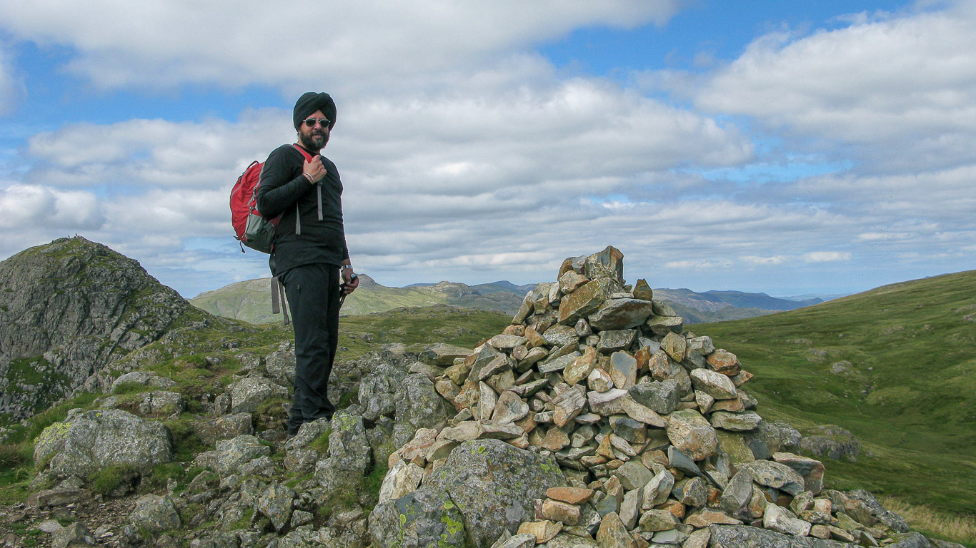
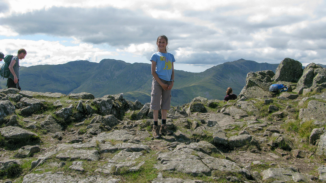
WALKED WITH: Pal and Mila (aged 12).
WEATHER: Glorious blue skies and hot!
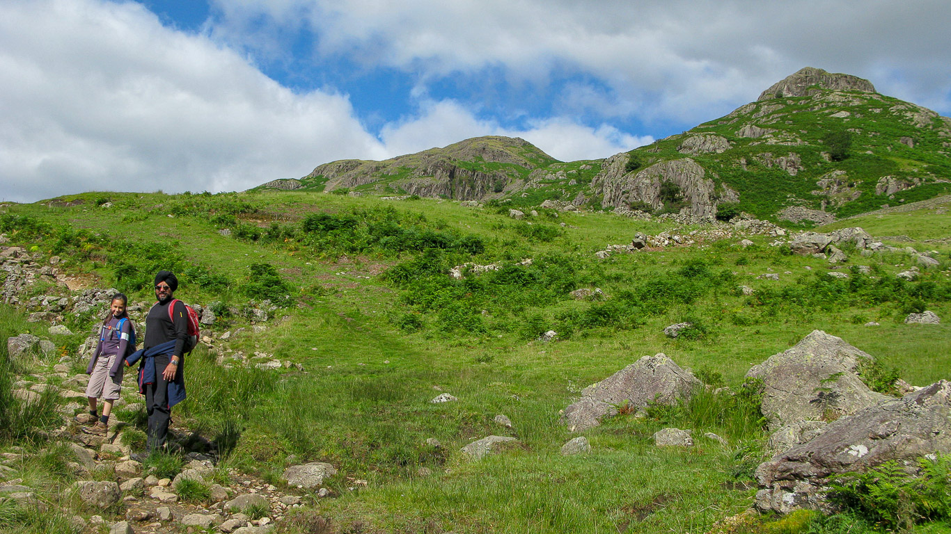
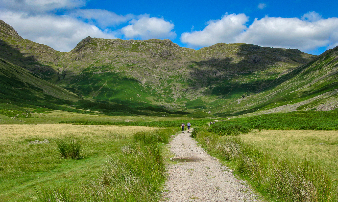
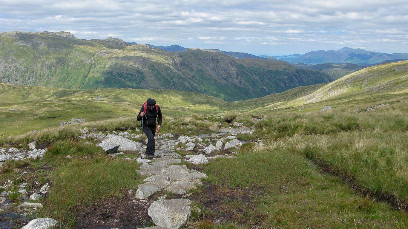
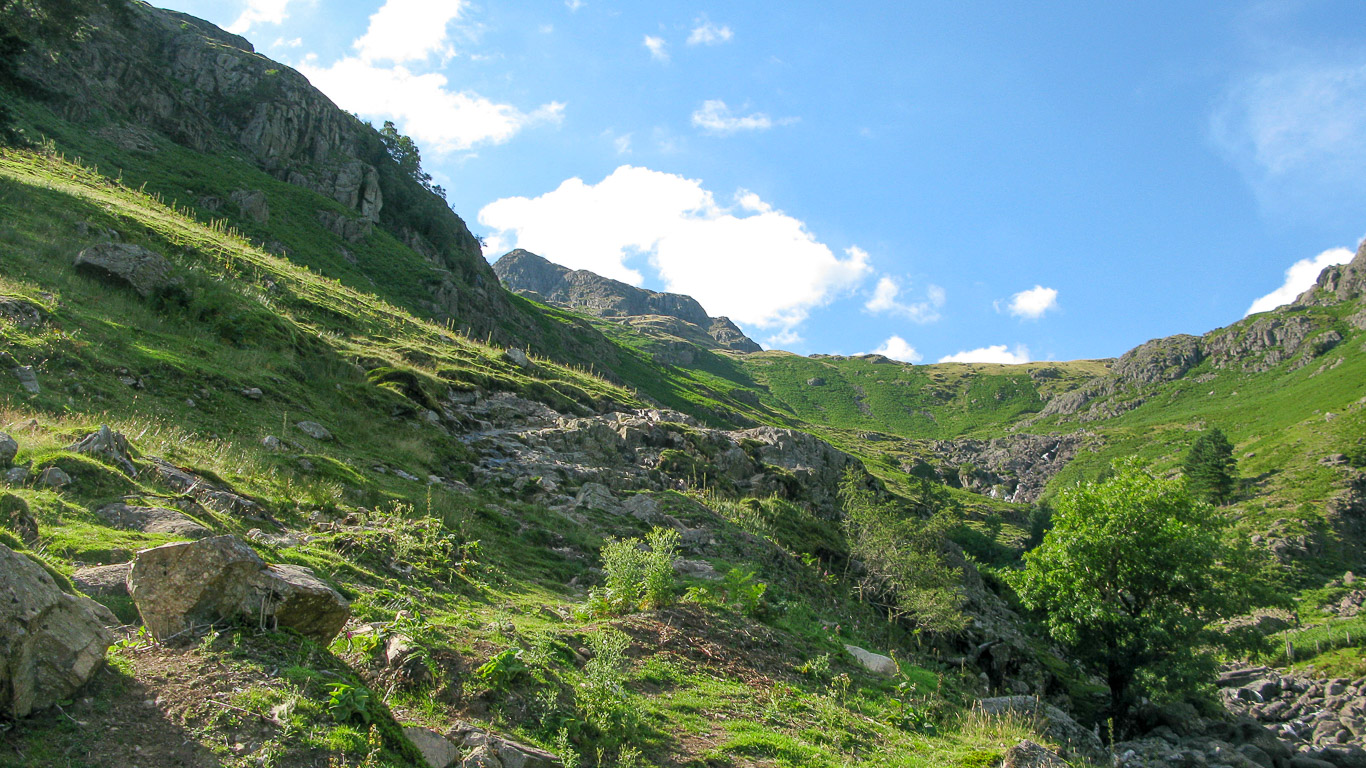
We parked opposite the New Dungeon Ghyll Hotel (there are in fact two car parks here, one next to Stickle Barn and another building and the other found on the opposite side of the road). Behind the hotel is a path leading to Harrison Stickle and Stickle Tarn – this is the route by which we would return. For now, making it a circular route, we went left following the path – The Cumbrian Way – we would follow this for quite a way before leaving it for Pike o’ Stickle.
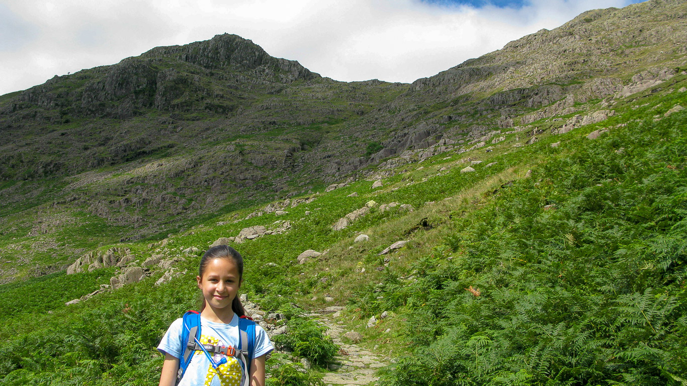
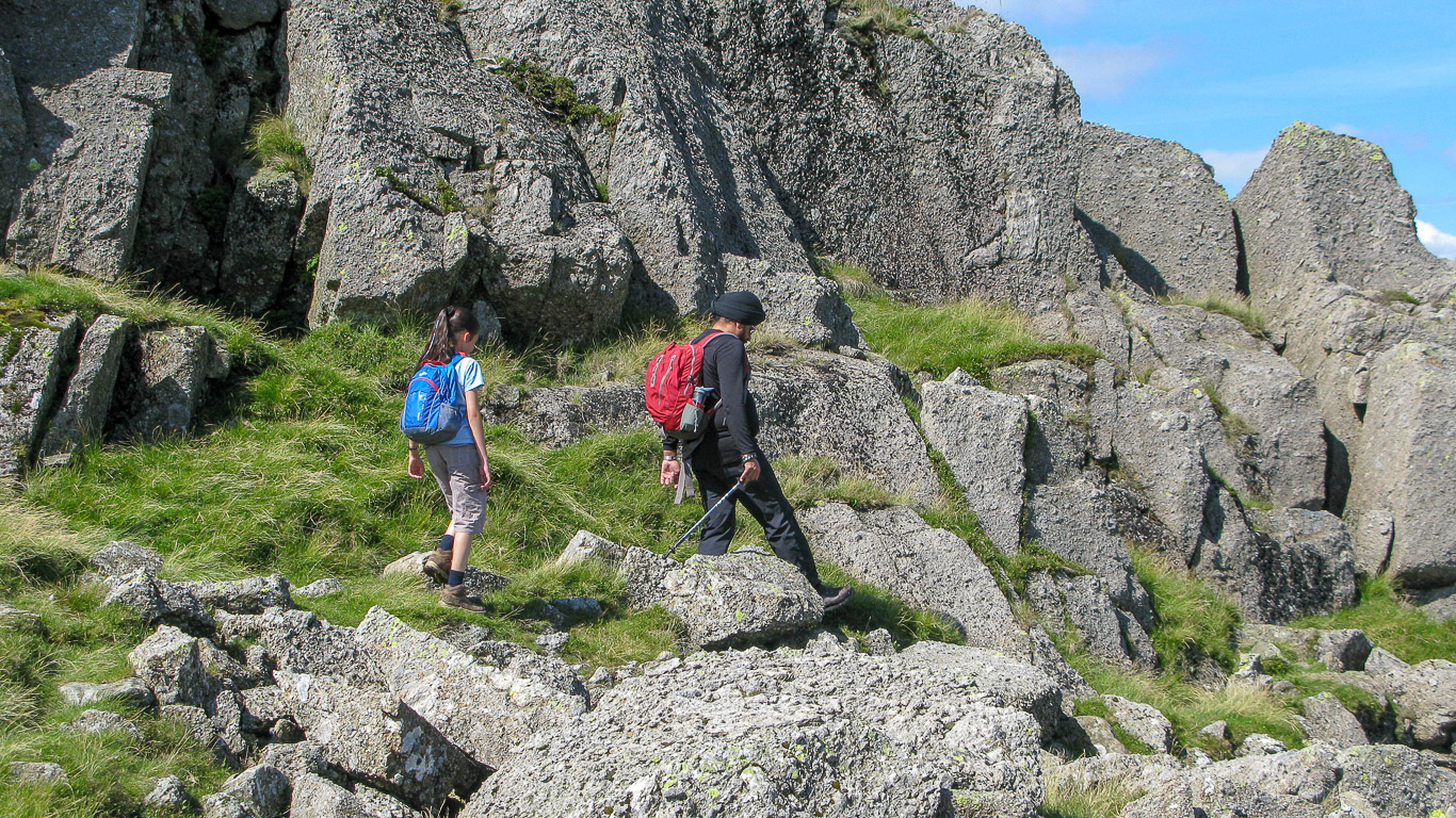
Mila and Pal quite near the start of the walk.
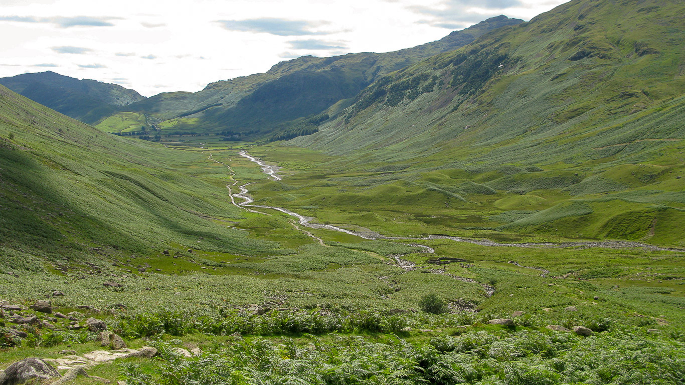
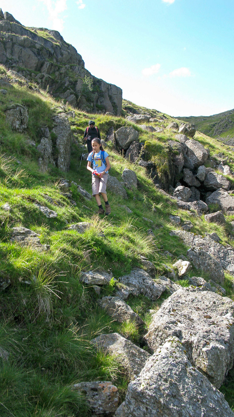
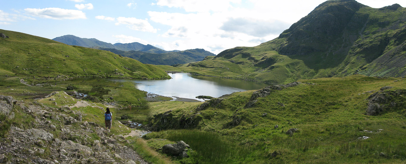
The Mickleden Valley. We’re following the rather indistinct path – Mila, as usual, is in the lead. The path along Mickleden gets better the further along the valley floor you walk – starting with uncomfortable stones, which in turn, turn to gravel and then to grass – the path widening into a broad track.
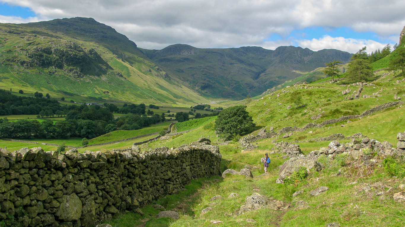
We followed the path along the wall . . .
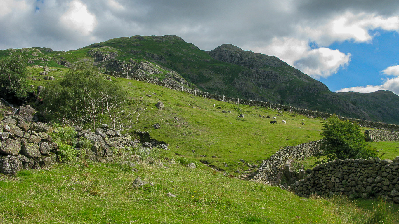
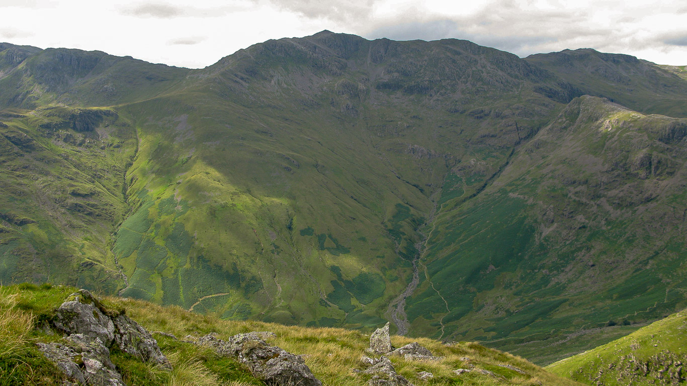
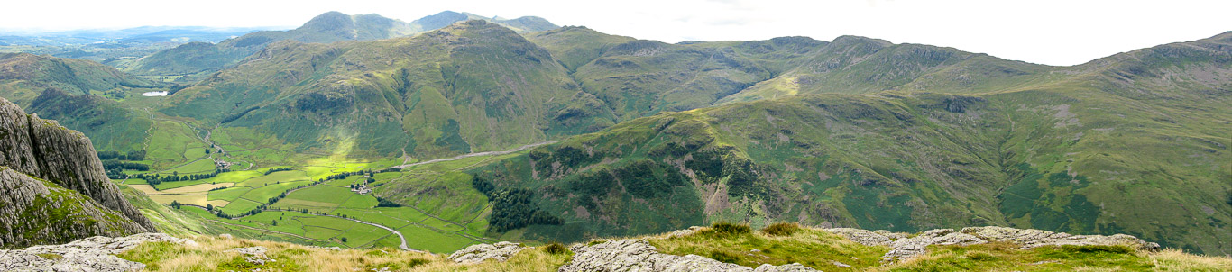
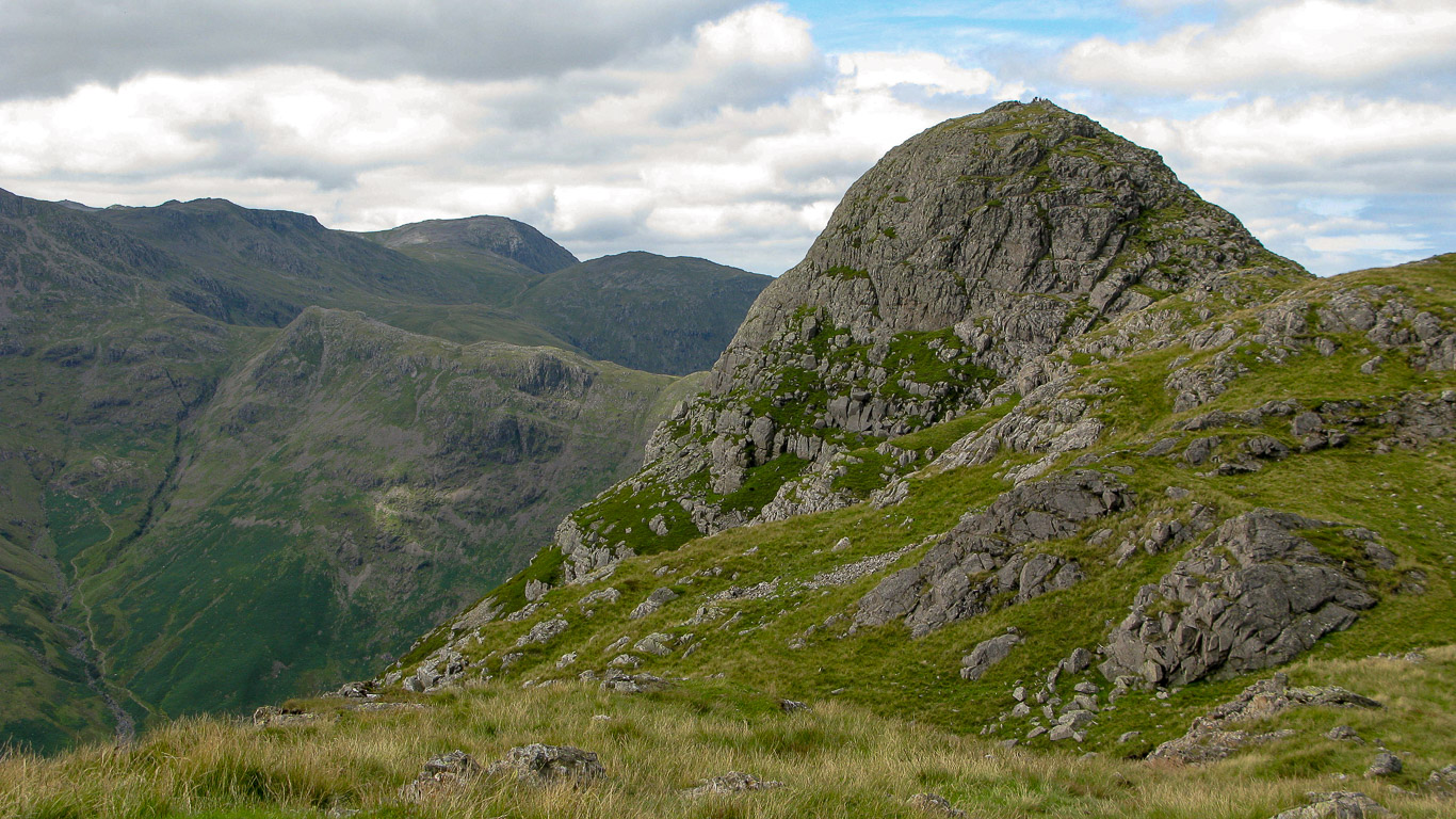
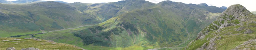
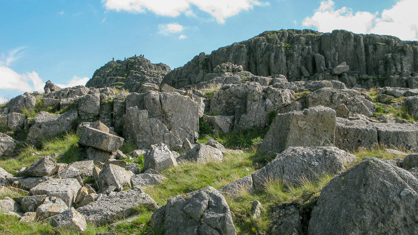
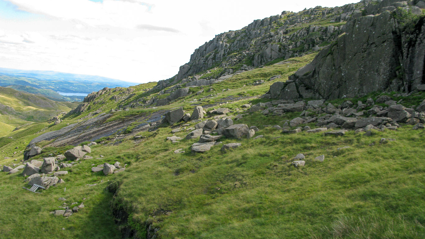
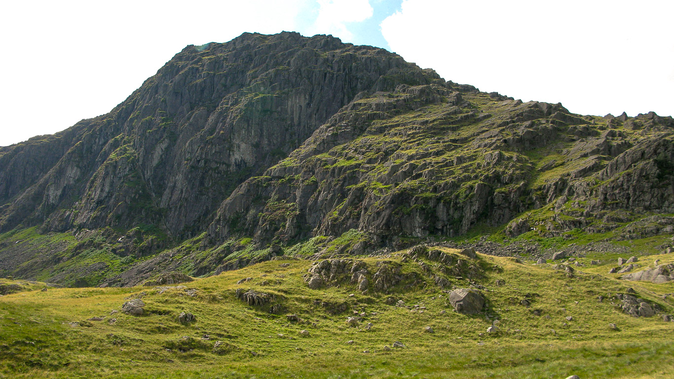
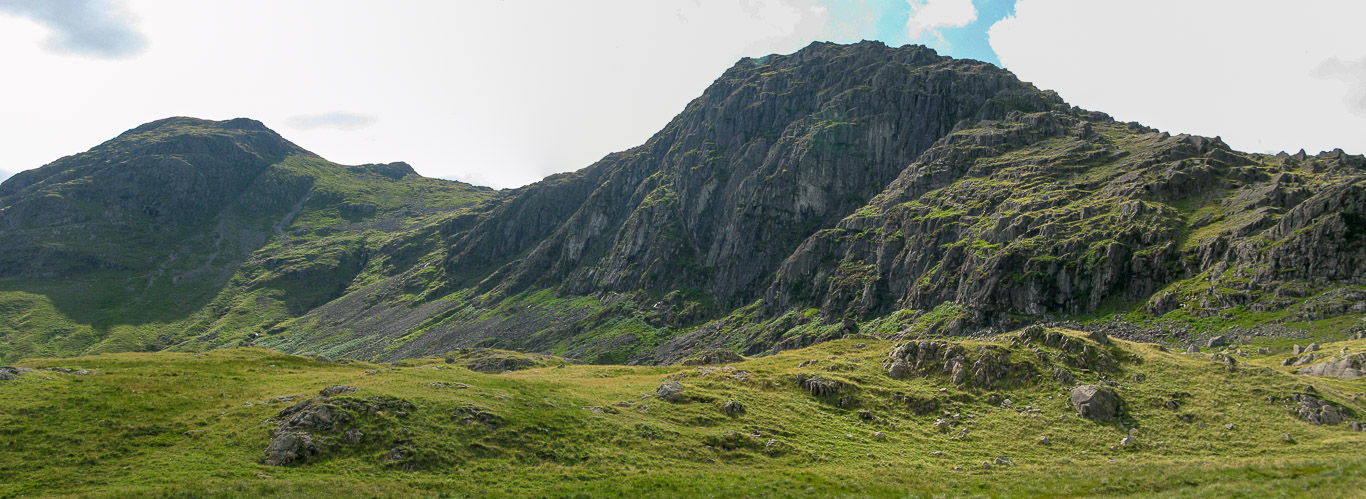
The Langdale Pikes rise majestically from the Mickleden valley . . . Here you can see the distinctive shape of Pike o’ Stickle on the left (‘Pike’ meaning peak and ‘Stickle’ meaning steep).
This photo shows the south scree from Mickleden, anyone interested in archaeology may be interested in Wainwright’s comments (in Pike o’ Stickle 3 & 5) that you can clearly see “the intrusion of a narrow vein of a very hard stone in the volcanic rocks of Great Langdale, emerging on the surface along the high level contours around the head of the valley, providing the material from which the prehistoric natives of the district fashioned their axes. Working sites have been located from Martcrag Moor to Harrison Stickle” [the route we will be walking today] . . . but the screes of Pike o’ Stickle have yielded the most prolific discoveries and especially the south scree where hundreds of specimens, originally rejected because of imperfections, have been collected in recent years. “In the rock wall of the south scree, is a well-made artificial cave. Its connection with stone axe manufacture hereabout has not yet been established as authoritative although the coincidence seems too great to be denied. A few feet square, it provides excellent shelter for several persons.”
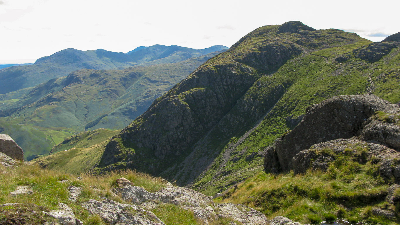
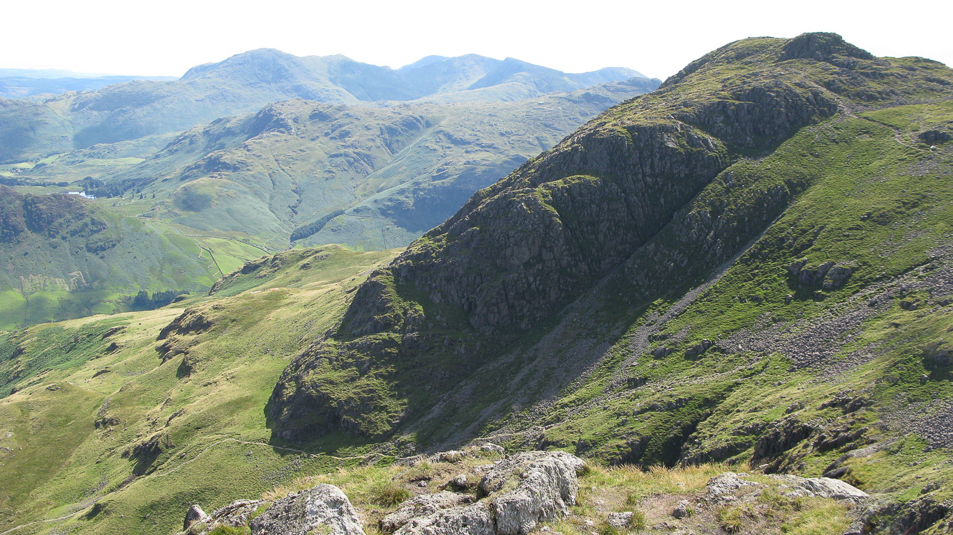
On the right of the photo you can see Loft Crag.
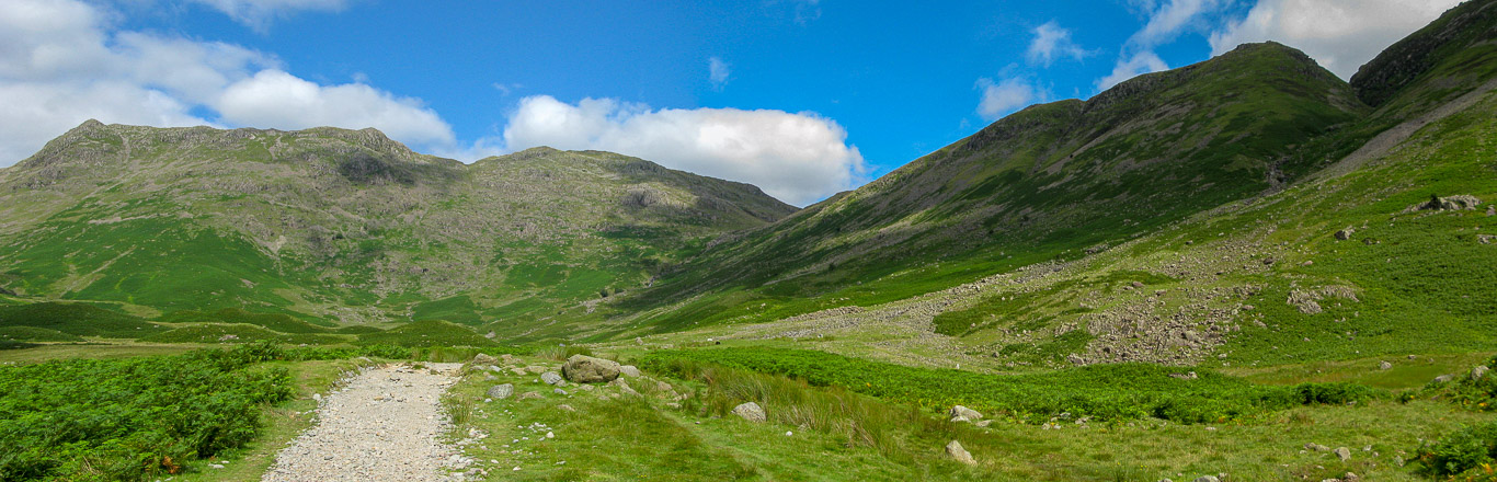
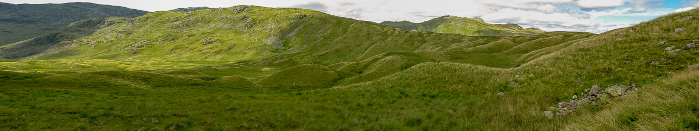
The track has, by this point, become a broad track which is part of the Cumbrian Way (a linear long distance footpath of 112km starting in Ulverston and ending in Carlisle) – we would follow this for a time up the Stake Pass path before we turned off towards Pike o’ Stickle. Here you can see the head of the Langdale (Mickleden) Valley. For any of you Geographers out there – Mickleden forms a classic ‘U’ shaped glacial valley. The glacial moraines (seen as strange looking lumps and bumps on the valley floor, aptly named ‘pillow moraines’; quite tricky to see because of the lush green vegetation) come into view as you approach the head of the valley where the path splits at the bottom of the two mountain passes, Rossett Pass and Stake Pass. The Mickleden moraines are remnants of the last Ice Age and are an accumulation of rock and soil scraped up and carried along by glaciers and then dumped as the ice melted and the glacier receded.
In the photo below: the slopes of Bowfell are on the left with the dip being Rossett Gill (leading to Rossett Pass) then the peak is Rossett Pike and at the other end (central in the photo) you have Black Pike; Littlegill Head and Black Crags – with the other mountain pass, Stake Pass path being on the right.
We’ll be heading up the path on the right . . . Stake Pass.
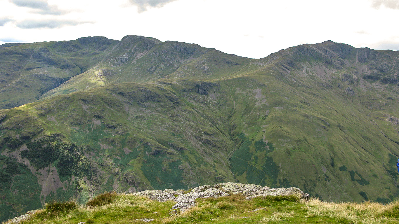
Here, the same scene but further round to the west. In the centre Bowfell with the steep rocky slope of Hanging Knott to the right going down Rossett Pass with Rossett Pike on the right.
Rossett Pike and Rossett Gill – from this viewpoint (as Wainwright points out, Rossett Pike 5) it appears that the Pike can be reached from the top of the pass only by a steep climb. But in fact the top of the pass is further back than it appears from the photo and a gentle grass slope there leads up to the rear of the Pike. Wainwright (Rossett Pike 2) says, “Perhaps to be strictly correct, Rossett Pike and the fell of which it is part should be regarded as the north-east shoulder of Bowfell continuing from Hanging Knotts to Langstrath, but the sharp rise across the high saddle of Rossett Pike is so pronounced that, for present purposes, Bowfell may be considered to terminate at the Pass. It is especially convenient to regard Rossett Pike as having a separate identity because of its splendid strategical position . . . dominating the deep glacial hollow of Mickleden and rising steeply between the two passes that provide the only routes of exit from that valley – Rossett Pass (south-east) and Stake Pass (north-west).”
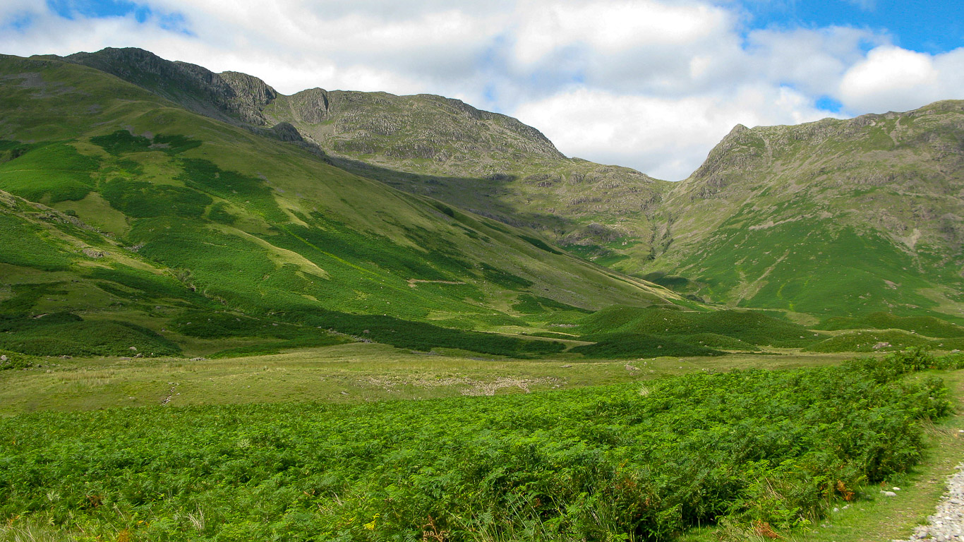
A look back along the valley you can see the track we’ve followed with the fells in the photo being (right to left): the slopes of The Band (leading to Bowfell); Crinkle Crags; then in the distance I think it’s Pike o’ Blisco? The meandering Mickleden Beck (forming from Stake Gill and Rossett Gill) flowing gently along the valley floor.
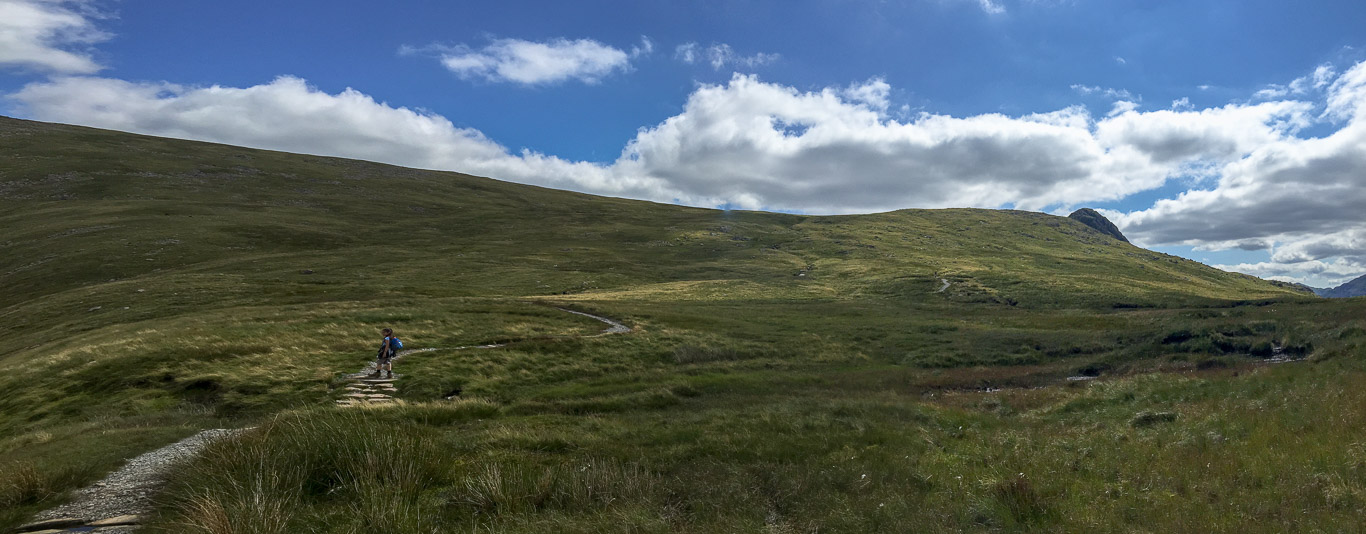
Mila leading the way up Stake Pass.
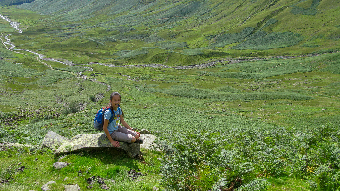
Mila taking a breather and supping on her water! The pillowy moraines are more obvious in this photograph.
Pal concentrating on the walk over Martcrag Moor following the Stake Pass path. Martcrag Moor is the grassy plateau at the top of Stake Pass. In the background you can see Crinkle crags in the distance then The Band leading up to Bowfell and Rossett Pike on the far right.
We couldn’t have chosen a better day for a walk like this.
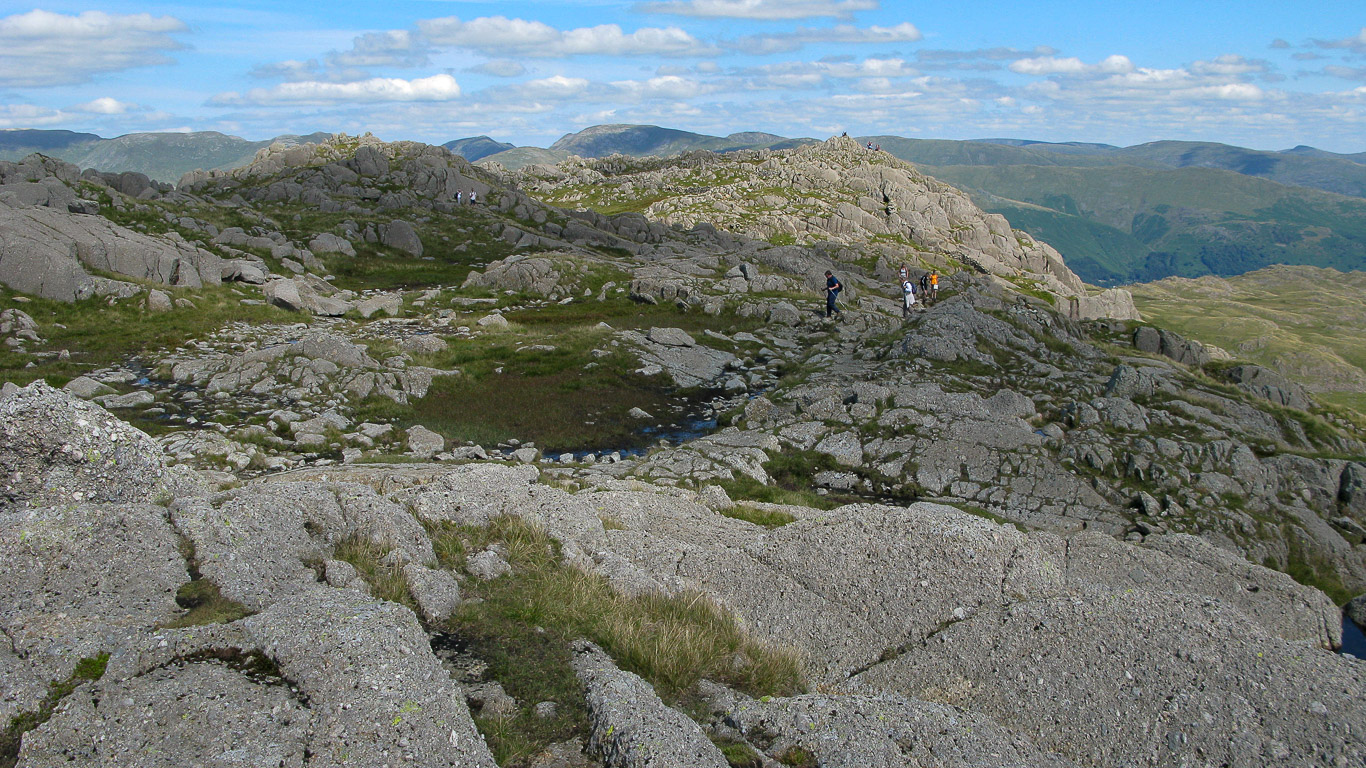
We hadn’t researched the walk much beforehand – rather spur of the moment – but it was magnificent. I hadn’t expected the top to be such an immense, velvety, pillowy landscape.
There’s Esk Pike with Great End beyond.
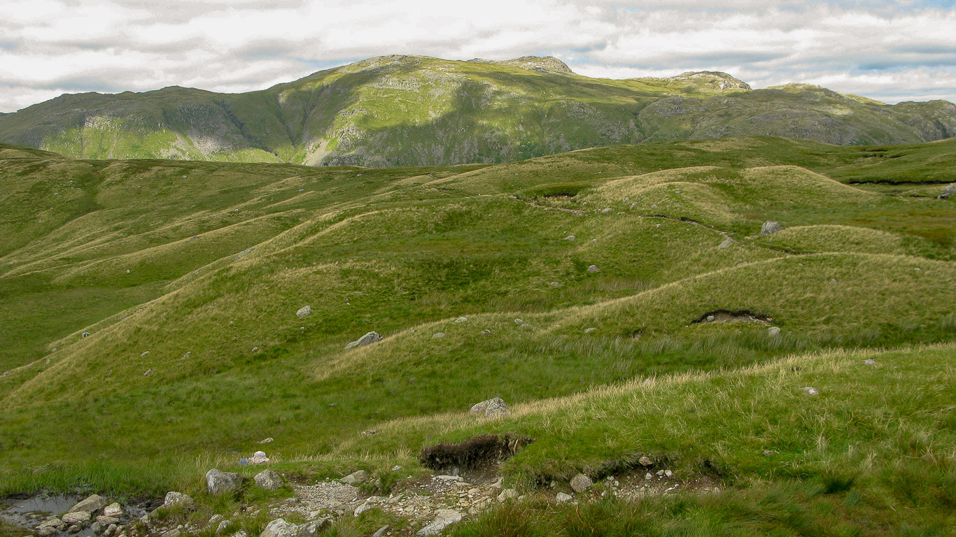
It’s notoriously boggy here but with the gravel paths and the dry weather it was fine.
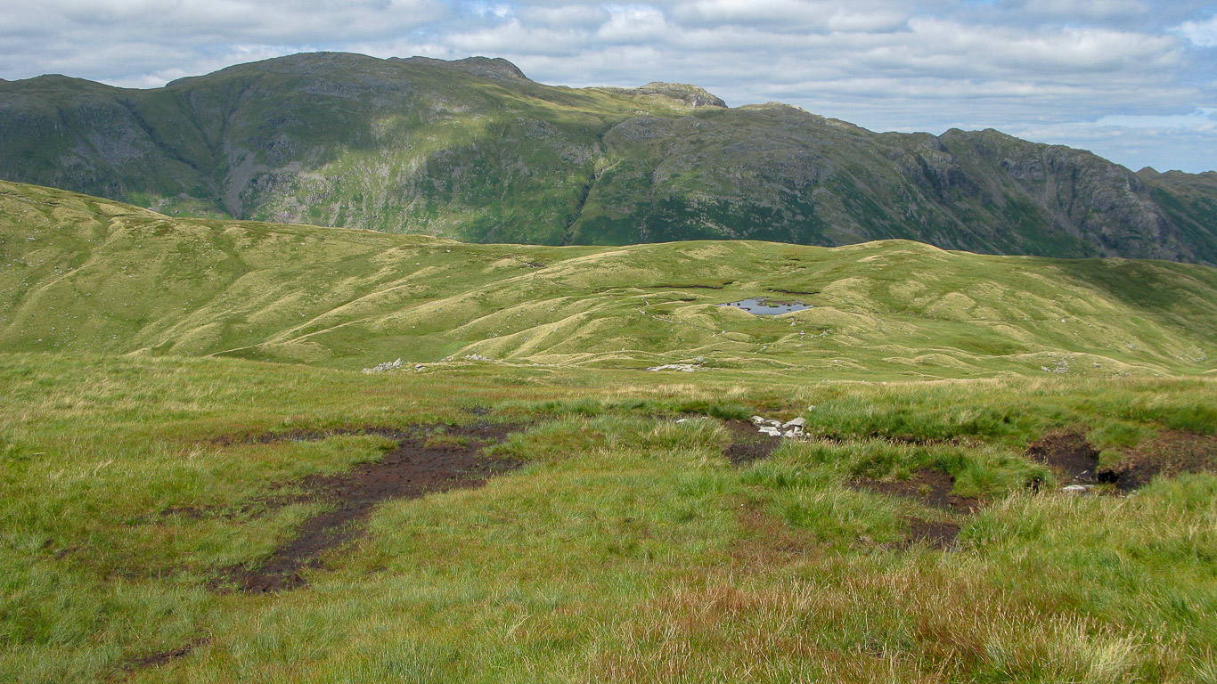
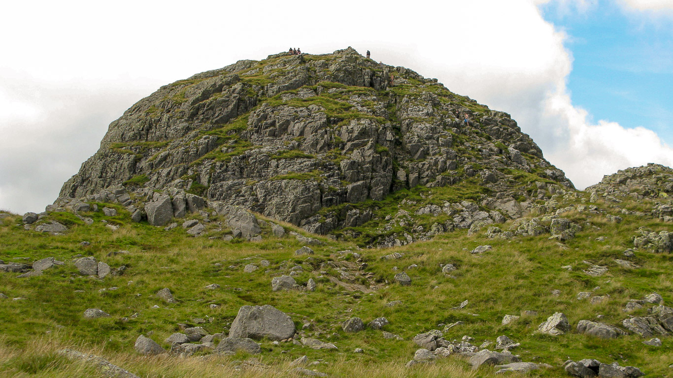
Now we’re heading for the very distinctive summit peak of Pike o’ Stickle. There was really very little path to follow but our goal was so visible and with the Garmin GPS it was easy!
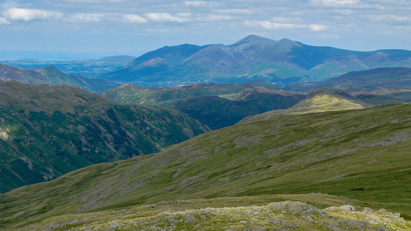
There’s the Northern Fells with Skiddaw being the highest fell in the distance.
Bowfell is on the right, with Rossett Gill, Esk Hause with Great End; Allen Crags; Great Gable; Green Gable and Glaramara.
Great Gable on the left then Glaramara in the centre of the photo.
Glorious views . . . and there’s Rosthwaite Fell (also known as Bessyboot) behind Pal (to the right) with the dark triangular peak being Grisedale Pike and the Northern Fells in the far distance on the right.
Looking further round to the left (south west) – Stunning views . . . Crinkle Crag on the far left, then The Band leading to the summit of Bowfell with its pointy peak. Rossett Pike is fairly central in the photograph. Beyond Bowfell is Scafell Pike and Esk Pike. The rounded summit is Great End with the fell pass of Esk Hause in front; then Allen Crags and on the far right the most prominent fell is Great Gable.
North west: again you have Great End with Rossett Pike being the fell sloping in from the left (fairly central in the photo). The valley in front of Rossett Pike is Stake pass, which we have just walked up and the valley beyond Rossett Pike is Langstrath. To the right of Great End is Allen Crags; Great Gable; then Green Gable is just visible with Glaramara being in the centre of the photo. Beyond Glaramara is Grasmoor; Dale Head and on the far right of the photo you can see the dark slopes of Bessyboot (Rosthwaite fell). Martcrag Moor is in the foreground.
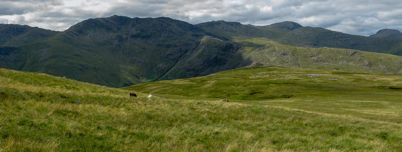
Cold Pike and Crinkle Crags on the left then Bowfell rising up from the Mickleden Valley from The Band. Bowfell with it’s distinctive pointed summit.
Doesn’t Bowfell look incredible . . . it’s definitely on our ‘to do’ list!
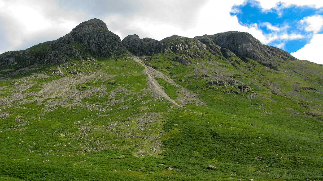
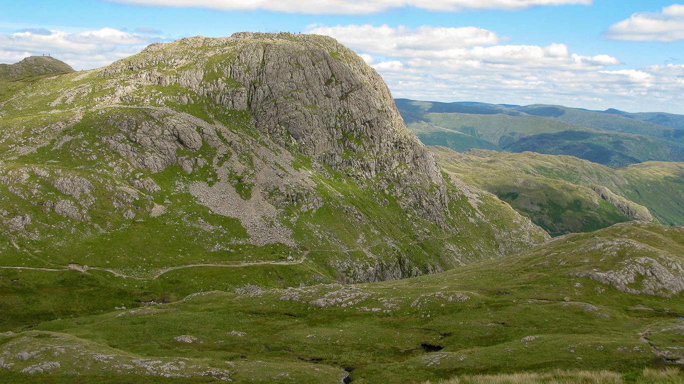
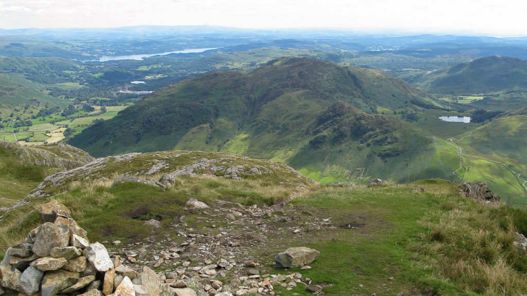
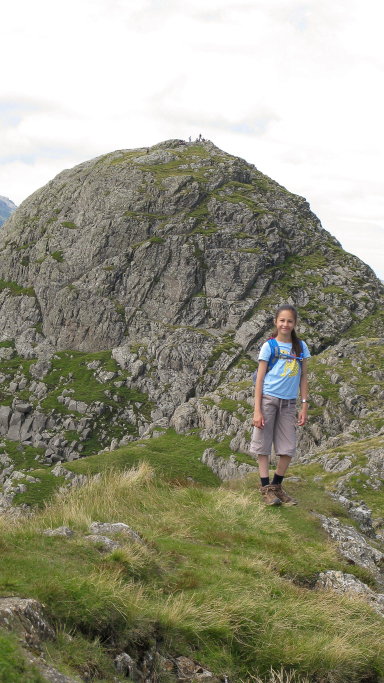
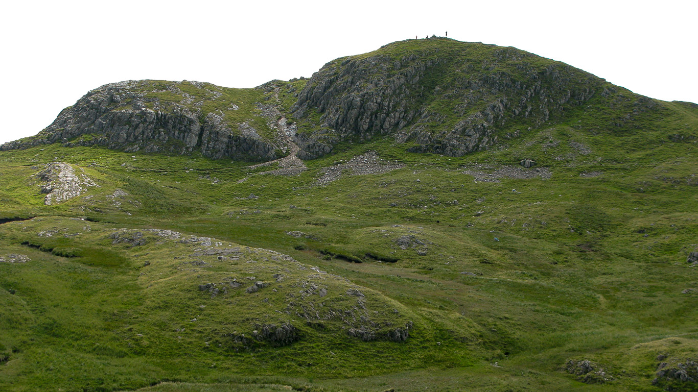
Pike o’ Stickle ahead and the first goal of the day . . . If you look very carefully you can just see other walkers on the summit.
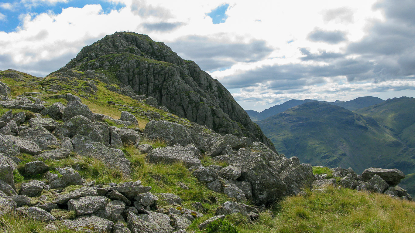
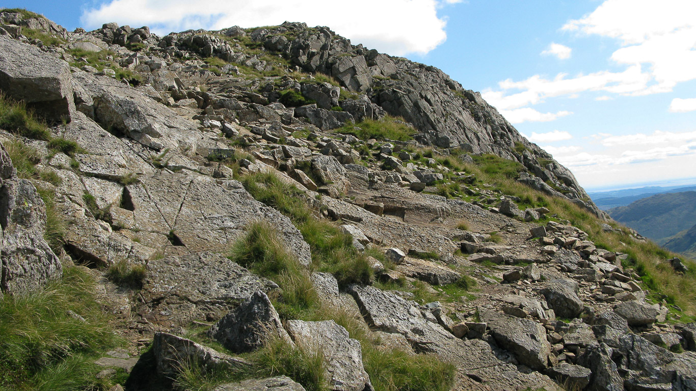
A fairly steep but straight forward route to the summit, though not quite as steep as it looks as the path takes you around the back and up onto the summit.
Time for a quick sandwich break now we’re at the top of our first summit of the day, Pike o’ Stickle. It’s such a beautiful day there’s no need to hurry . . . there’s time just to soak up the beauty surrounding us.
An impressive backdrop . . . there’s the Northern Fells in the distance on the right with the clouds creating interesting shadows on the fells.
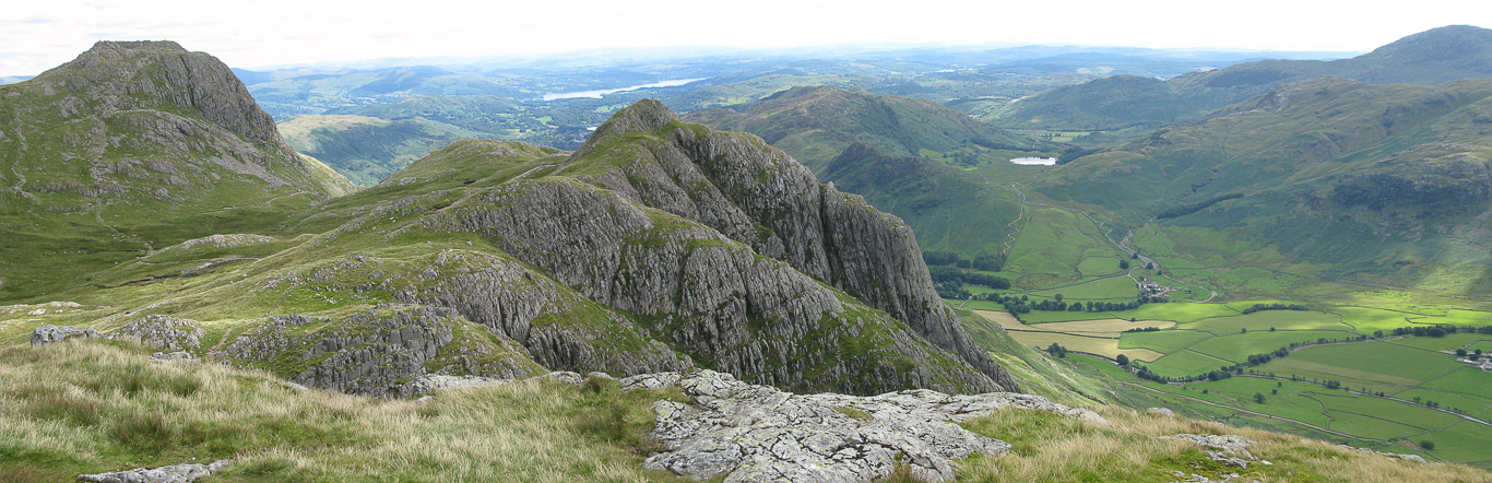
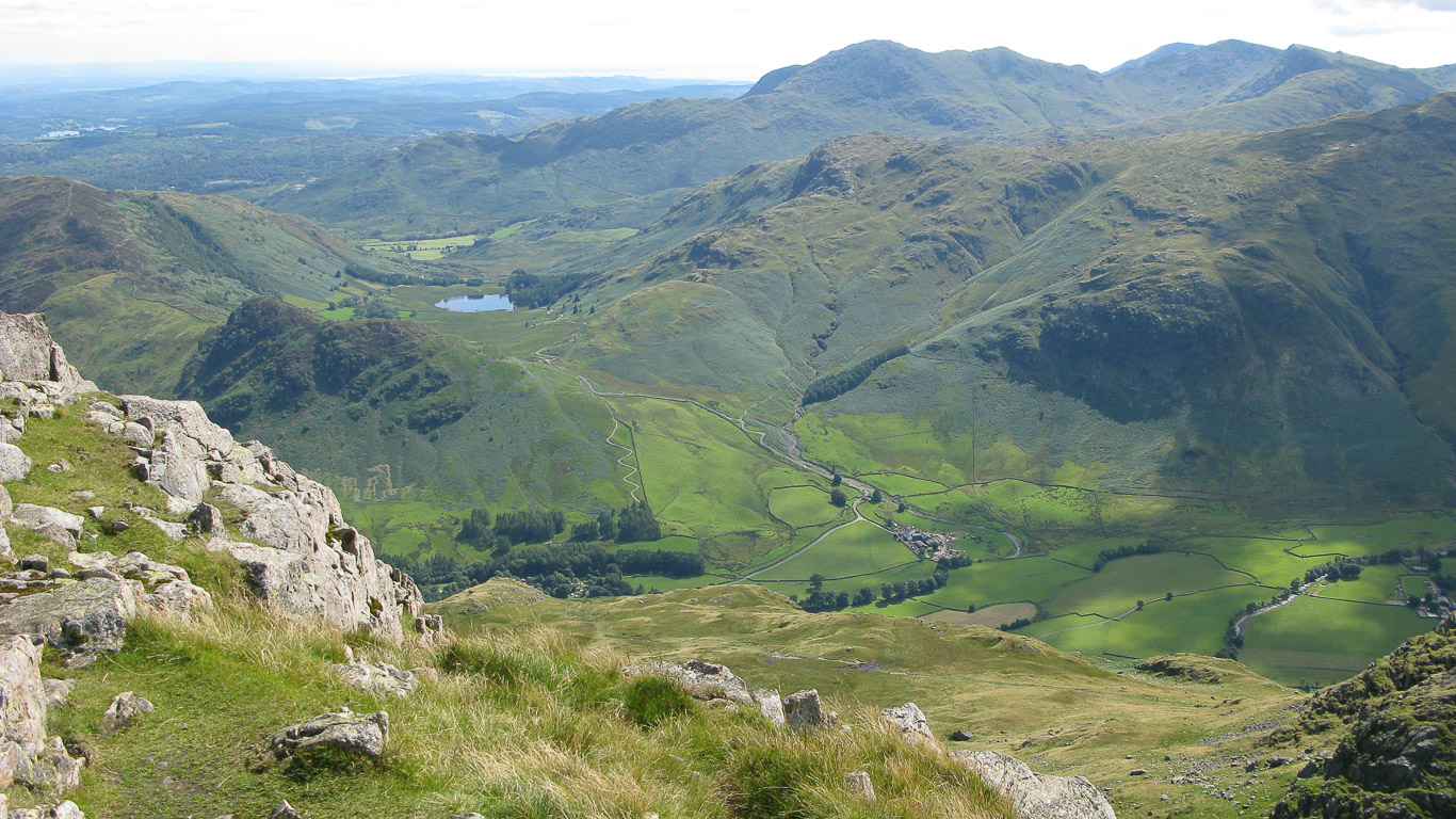
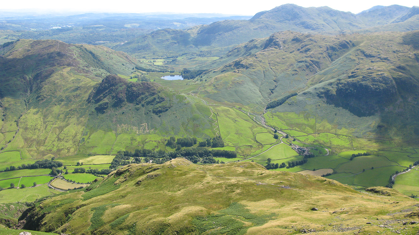
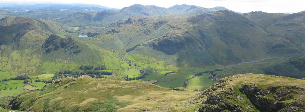
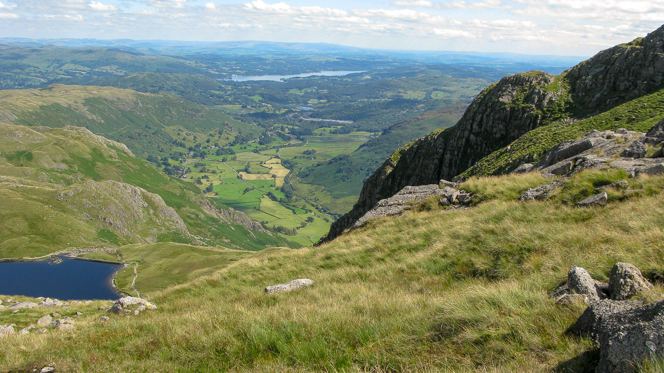
What a view . . . There’s Loft Crag with the clear gully known as Juniper Gully and Gimmer Crag used by climbers on the left (the south-east face of the fell). Lake Windermere is in the distance then Side Pike and Lingmoor Fell beyond Loft Crag with Blea Tarn at its base in the centre of the photograph in the valley of Little Langdale with the Coniston fells on the right; with Wetherlam in the background and Blake Rigg in front.
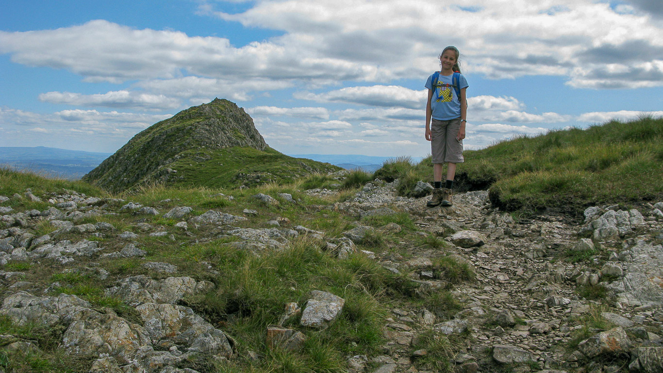
Panning further round to the east you can see the flat summit of Harrison Stickle our third summit and in the centre Loft Crag our next goal for today.
To the south the Coniston fells: Pike o’ Blisco in front with Wetherlam; Swirl How; Great Carrs; Dow Crag and Grey Friar beyond; then Cold pike and the lead up to Crinkle Crags on the right. The Mickleden valley with the spotlight of sun below.
This panorama takes you all the way round from the Coniston Fells with Blake Rigg (which I think looks like it’s part of Pike o’ Blisco), Pike o’ Blisco then Cold Pike following the ridge to Crinkle Crags and in the centre of the photograph The Band which leads up to the summit of Bowfell out of view on the right of the photo.
Further round to the right: South to west you can see Cold Pike on the left then Crinkle Crags with The Band leading to the distinctive sharp pointed summit of Bowfell on the right.
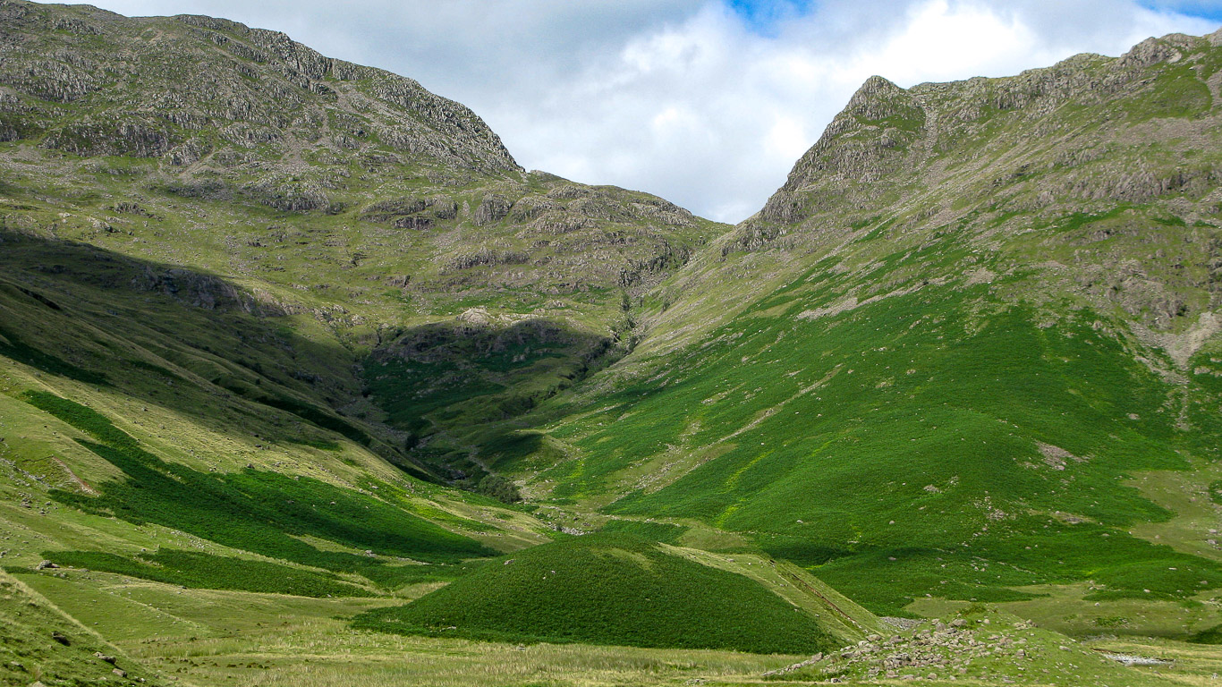
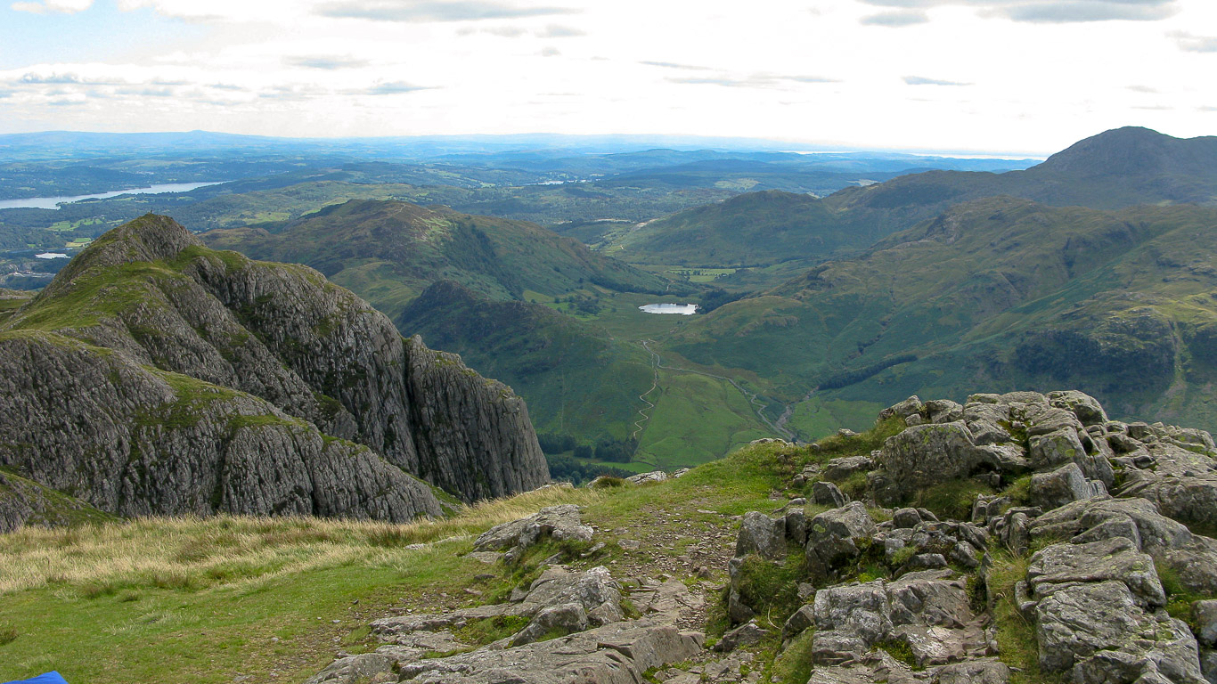
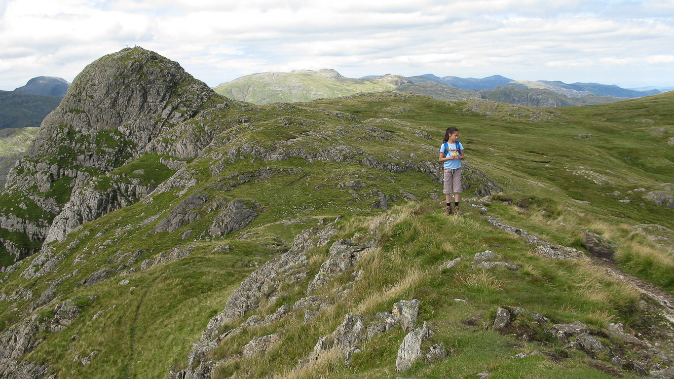
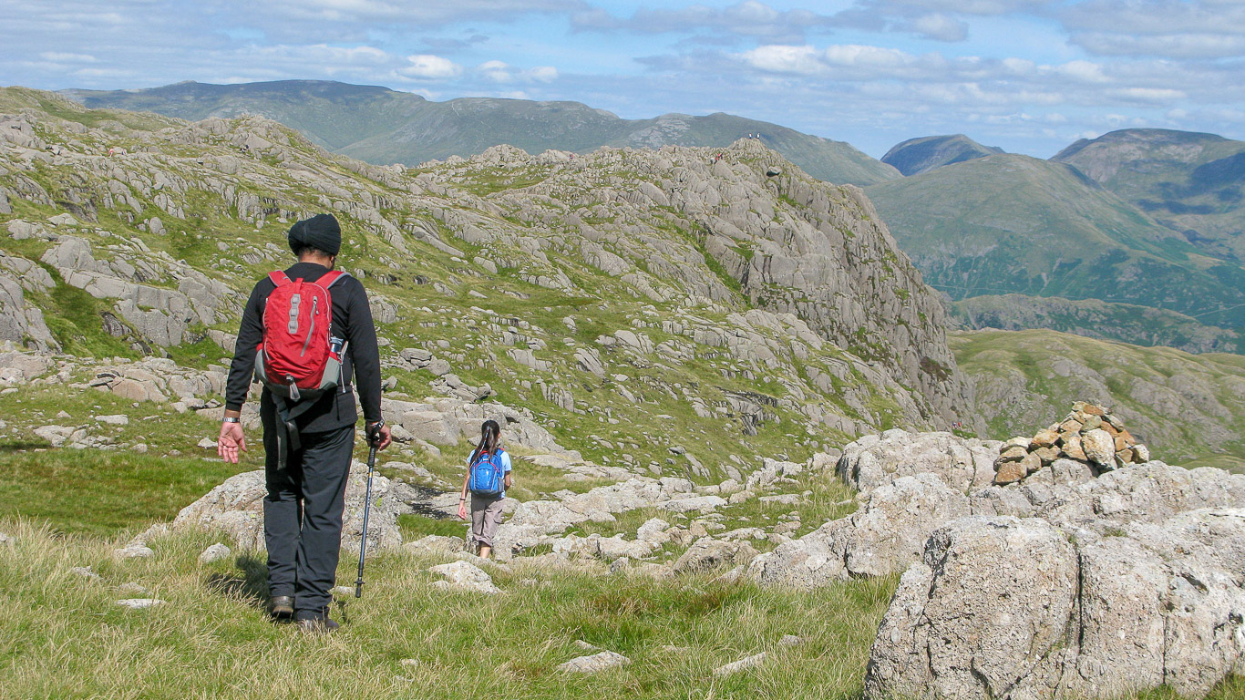
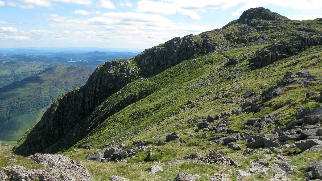
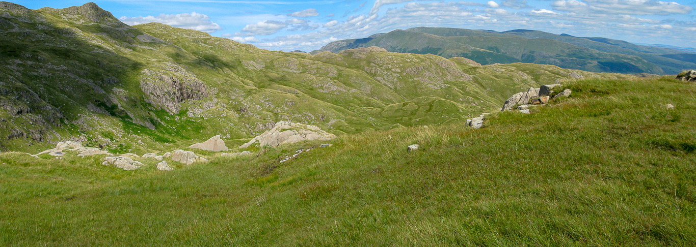
From the Pike o’ Stickle it’s an easy path to follow to Loft Crag annoyingly we could have easily bagged Thunacar Knott as it’s only 1/4 mile from the foot of the stack leading to the summit of Pike o’ Stickle. We crossed the spongy depression to link up with the narrow path following the obvious ridge to the south-east towards Loft Crag. If, instead, we had headed north where there’s no path, off the line of the path to Stake Pass we would have linked up with the narrow path running up the slope west to east to the summit of Thunacar Knott. (Thunacar Knott is also only a 1/4 mile from Pavey Ark!)
Close up of the Northern Fells in the distance, with Skiddaw being the highest fell.
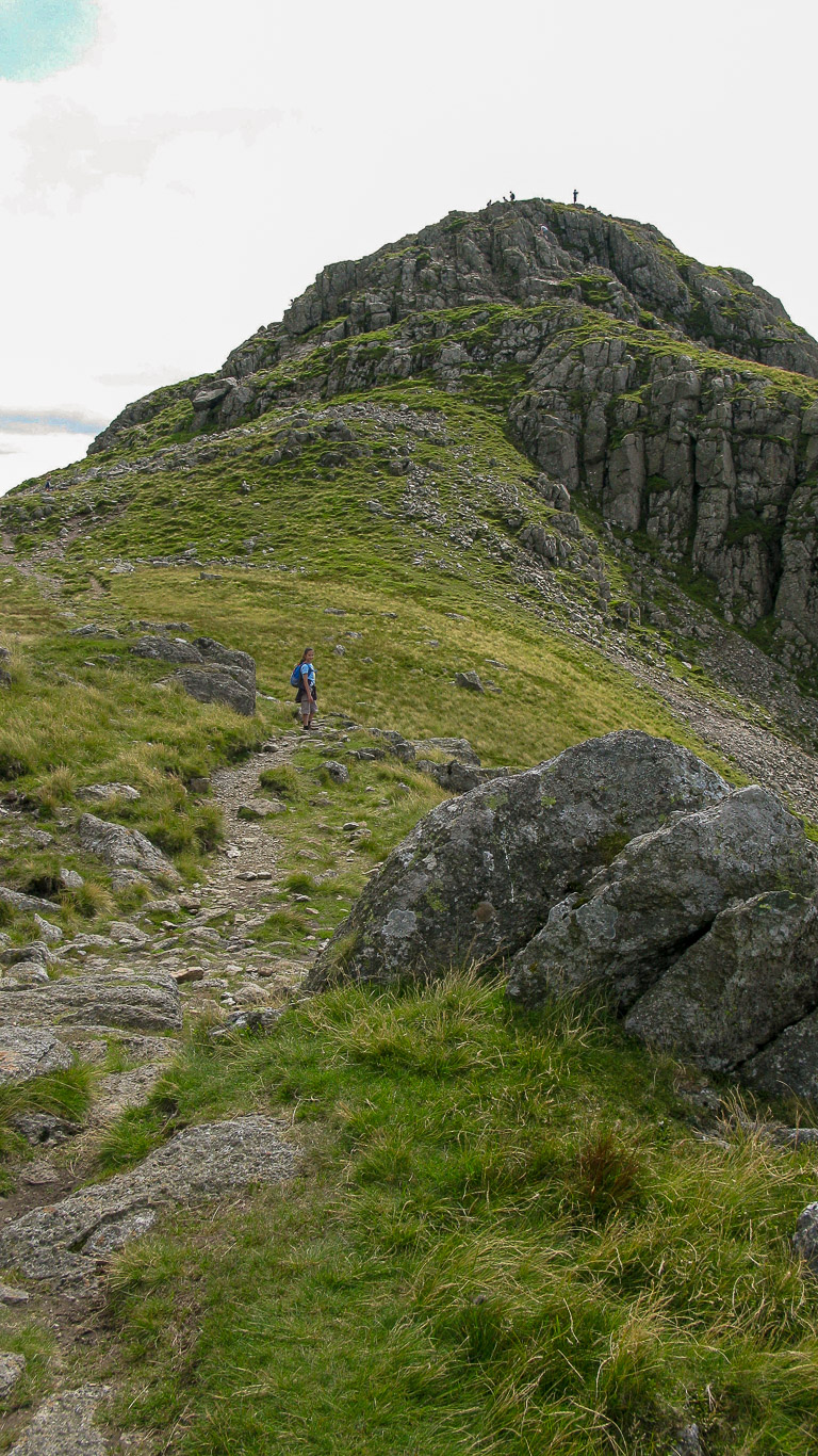
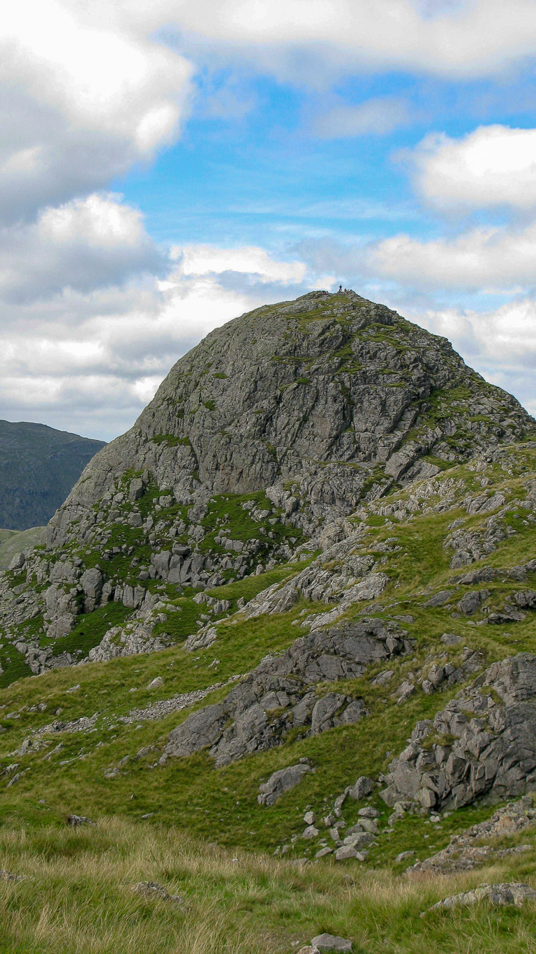
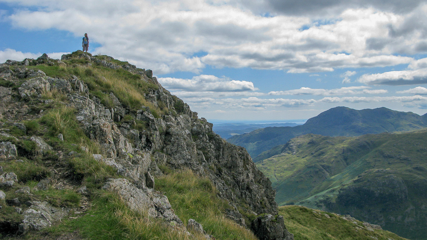
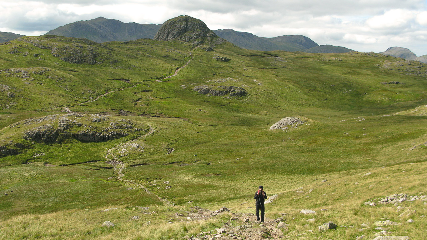
Looking back to the walkers on Pike o’ Stickle . . . this photo gives no indication of the height of it . . . but wait and see as we get further away . . .
Heading for Loft Crag ahead.
If you look very carefully you can just see a tiny speck of blue about three quarters of the way up – that’s Mila, way out in front! Photograph of the western aspect of Loft Crag.
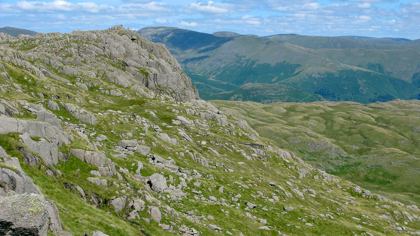
Now looking back at Pike o’ Stickle again, this photo gives you more of an idea of the height. Plenty of walkers are enjoying the view!
Pike o’ Stickle.
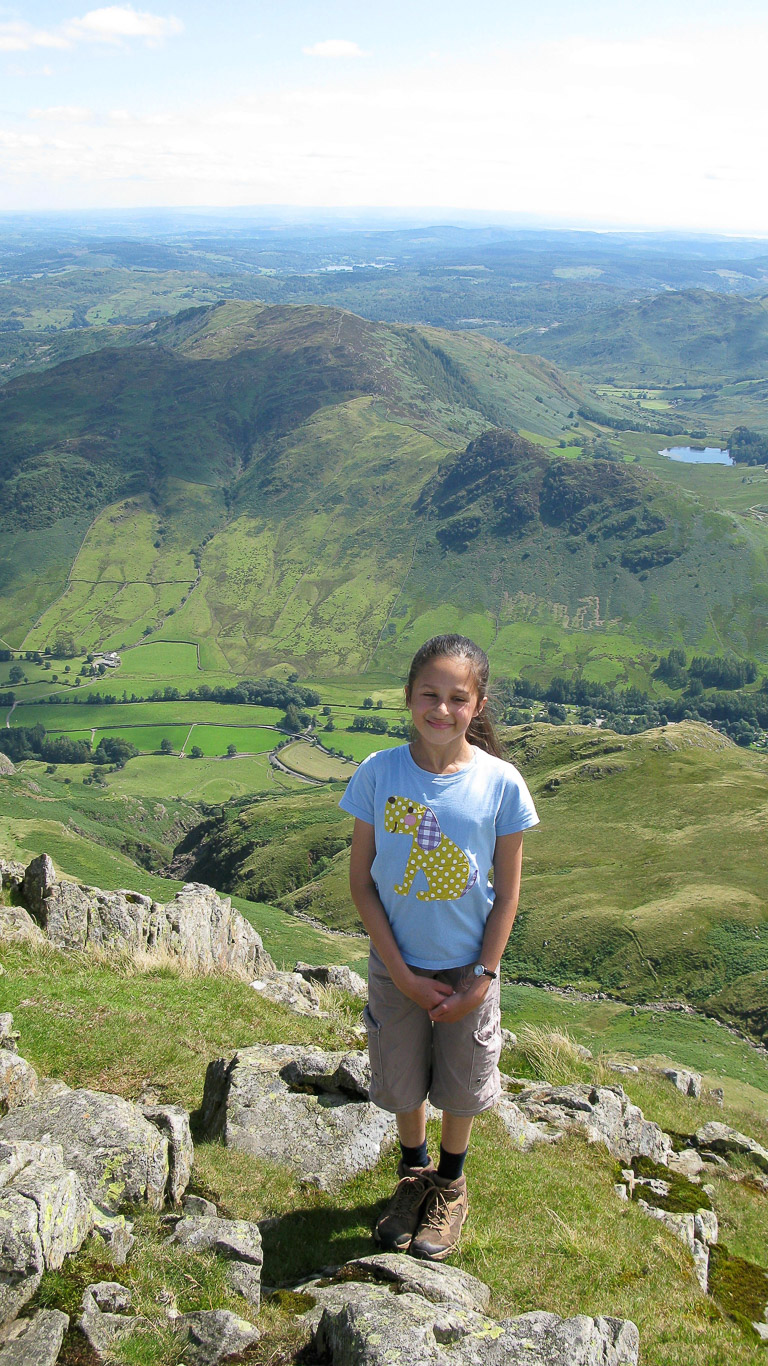
Mila on the summit of Loft Crag – easy to see why this fell is often favoured by climbers!
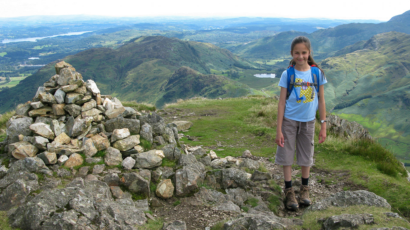
The summit cairn on Loft Crag with Side Pike and Lingmoor Fell to the right beyond with Blea Tarn at its base and Mila happy to have another summit under her belt.
Harrison Stickle in the distance, our third summit of the day . . . there are already a number of walkers on the summit.
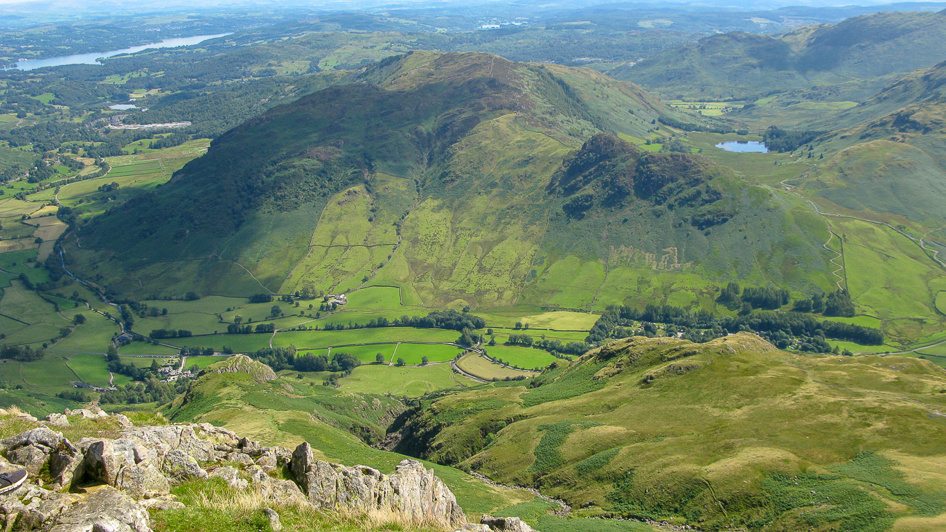
Lingmoor Fell with Side Pike in front of it, from Loft Crag.
Blake Rigg is on the left which here looks like it is all part of Pike o’ Blisco but Pike o’ Blisco is to the right of it, the summit clearly visible with Cold Pike the green fell with the uneven summit on the right and the Coniston fells in the far distance (Wetherlam with the sun shining on it to the right of Blake Rigg; Swirl How; Great Carrs then just visible behind the summit of Pike o’ Blisco is Dow Crag with Grey Friar being the dark fell to the right of Pike o’ Blisco).
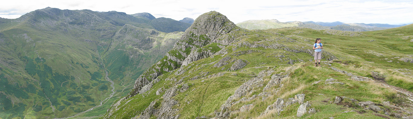
A close up of the summit of Pike o’ Stickle (on the left) with Cold Pike (easily identified with its serrated looking top) in the centre and then the ridge of Crinkle Crags on the right with the Mickleden Valley below.
This is a continuation of the photograph above (further round to the right) showing Crinkle Crags on the left and The Band leading to Bowfell just right of centre.
A panorama of the scene above.
Another view from the summit of Loft Crag.
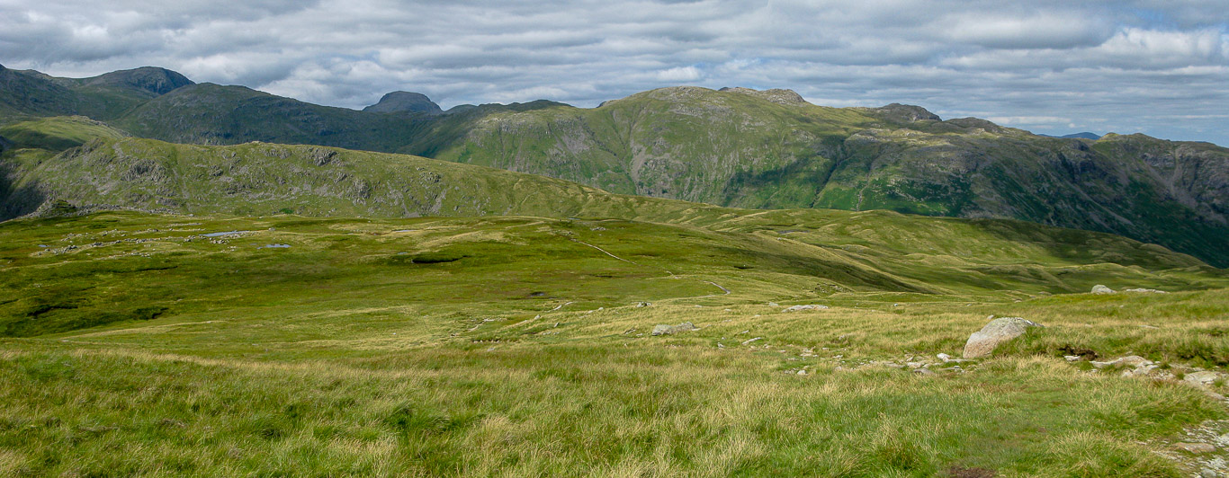
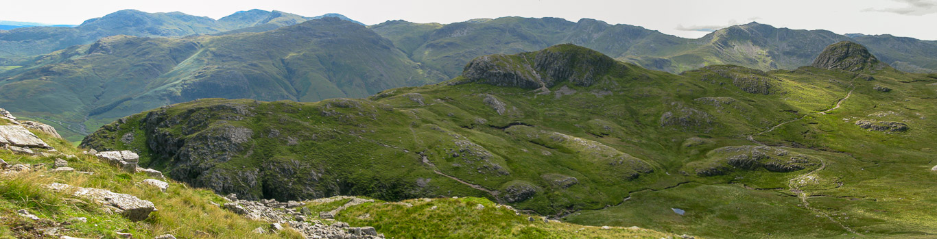
Bowfell on the left then Esk Pike with the prominent rounded fell to the right being Great End (Rossett Pike is at the head of the valley); then Allen Crags (the green fell between Great End and Great Gable) and Great Gable with Pike o’ Stickle and the slightest hint of Glaramara to the right of the Pike.
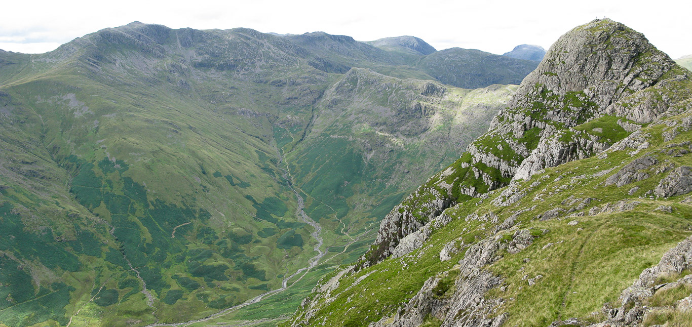
Fells from left to right: Great Gable then Pike o’ Stickle; the pale green fell is Glaramara.
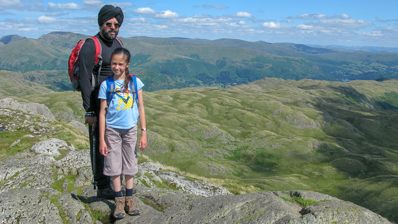
Pal on the summit of Loft Crag.
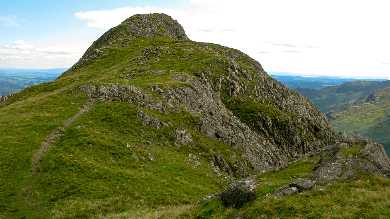
Having descended Loft Crag, behind Mila, it’s onwards to Harrison Stickle.
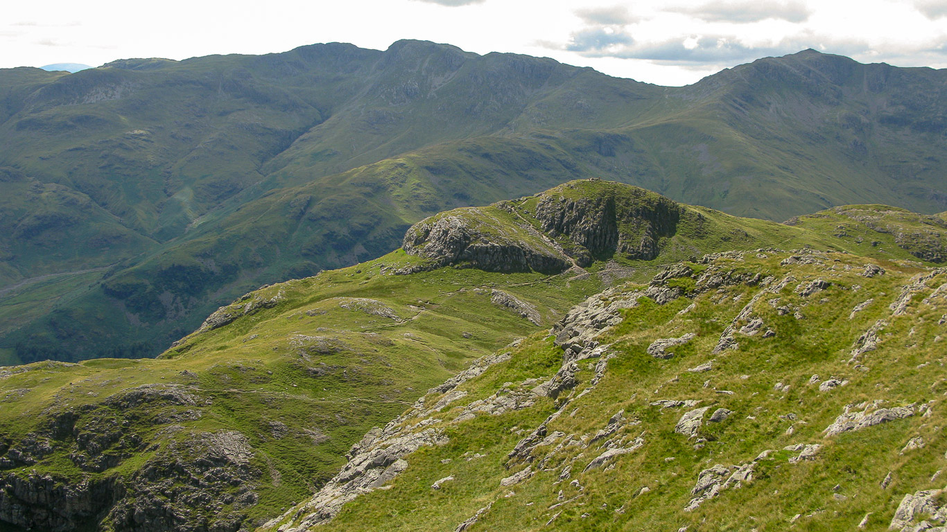
Looking down on Thorn Crag.
Looking back at Loft Crag, it looks very different from this angle.
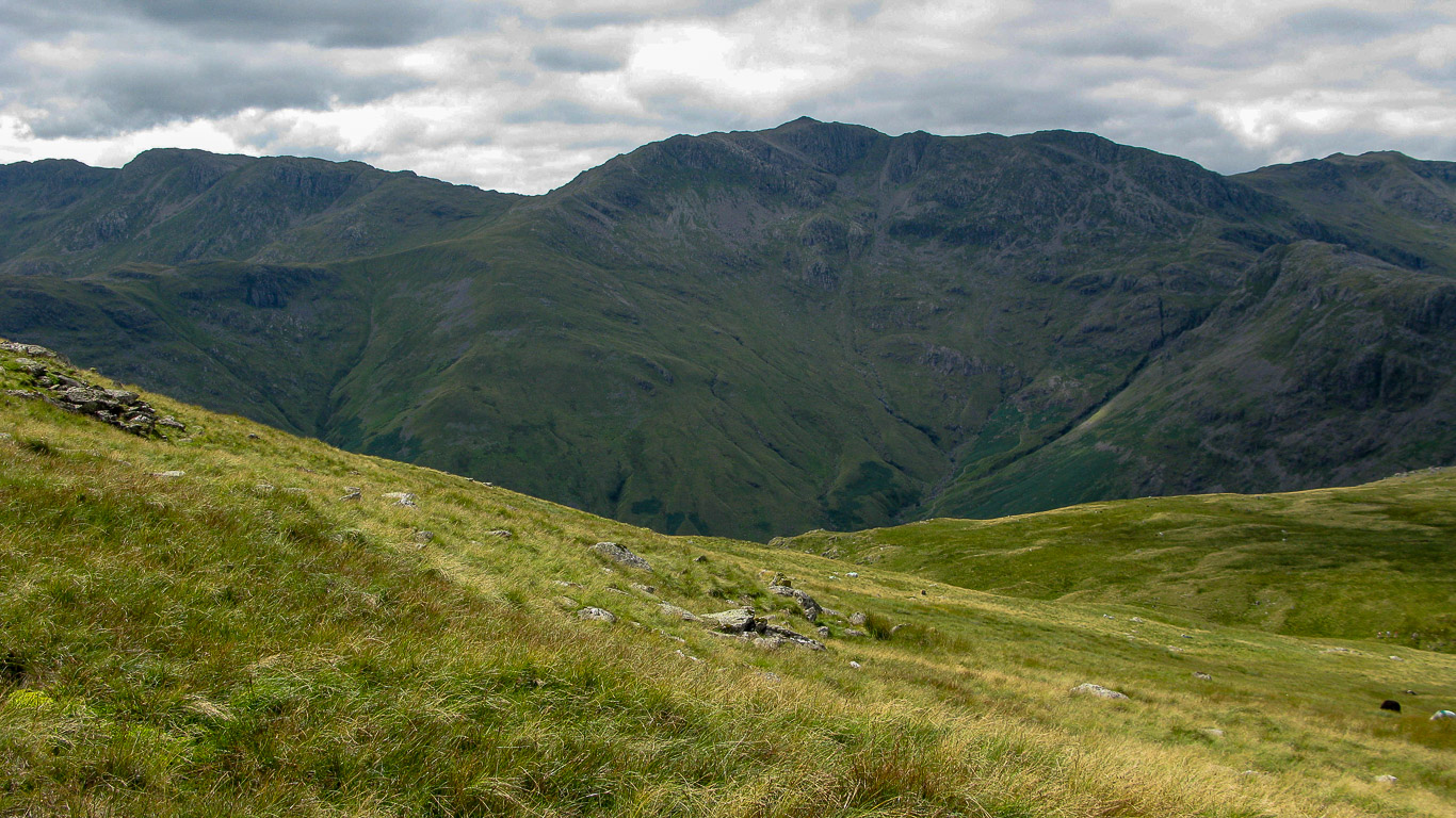
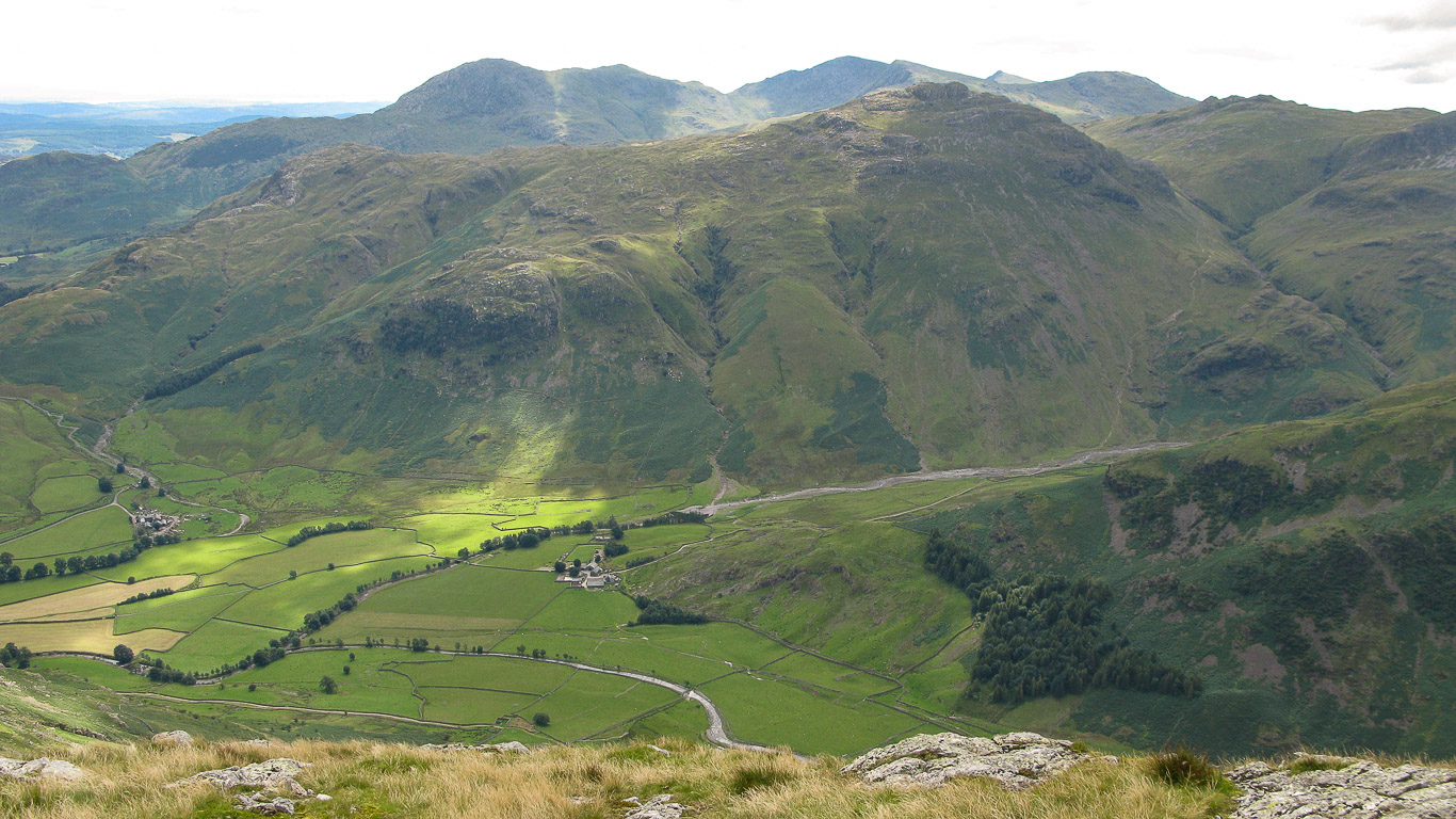
Looking across Harrison Combe to Bowfell on the left then the mound of Pike o’ Stickle.
Not far to the third summit of the day, Harrison Stickle.
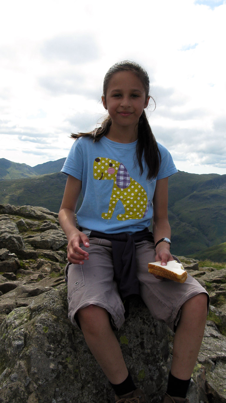
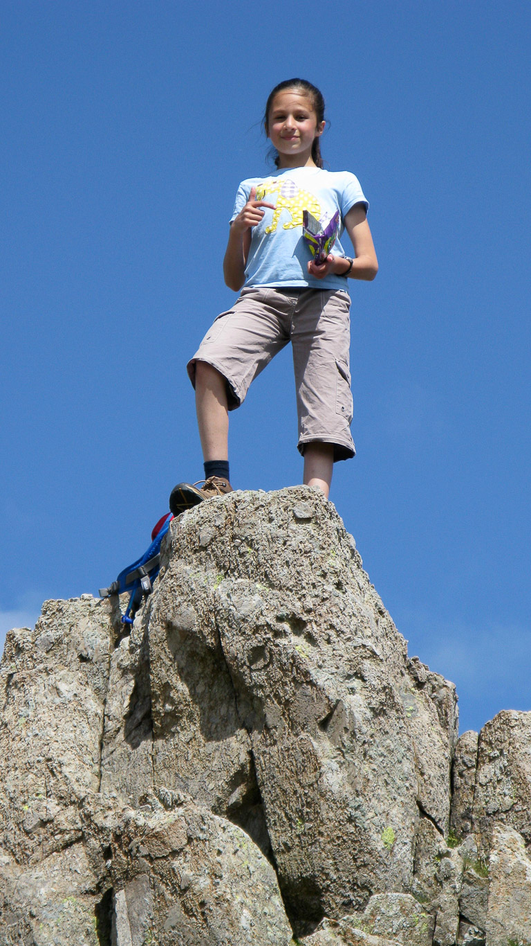
Mila, The ‘king of the castle’! Enjoying Monster Munch crisps by the look of it!
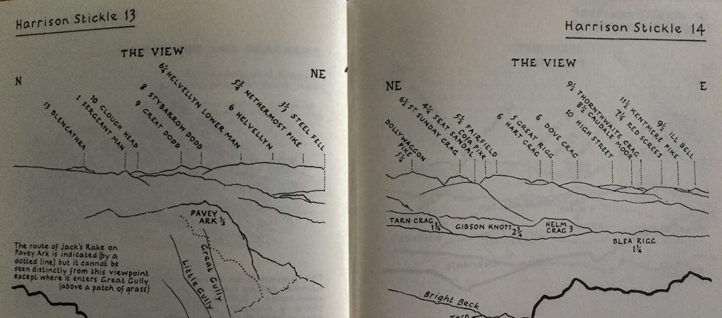
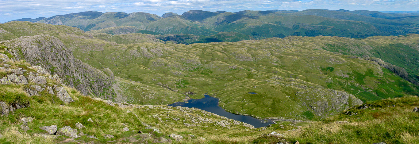
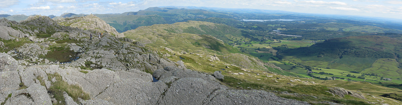
Expansive views from the summit, definitely not to be rushed. Pavey Ark (our final summit today) is on the left. The view here, north to east (line drawing for identification of the fells taken from Wainwright ‘Central Fells’ Book 3).
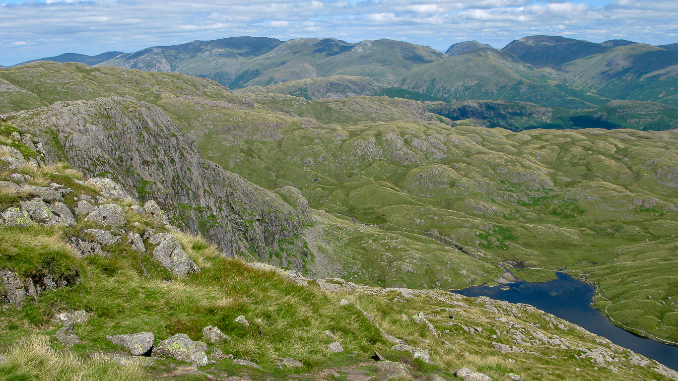
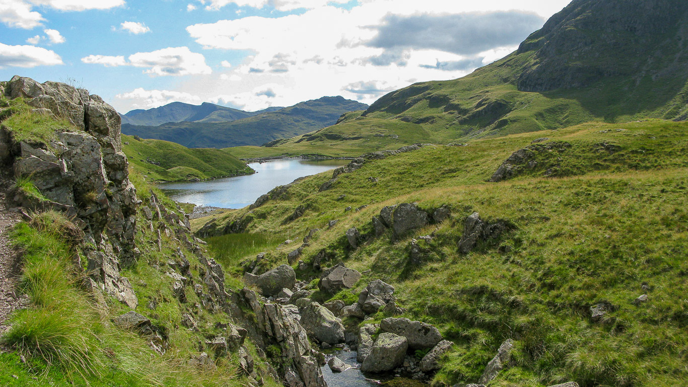
A more panoramic view with Stickle Tarn in the centre of the photograph.
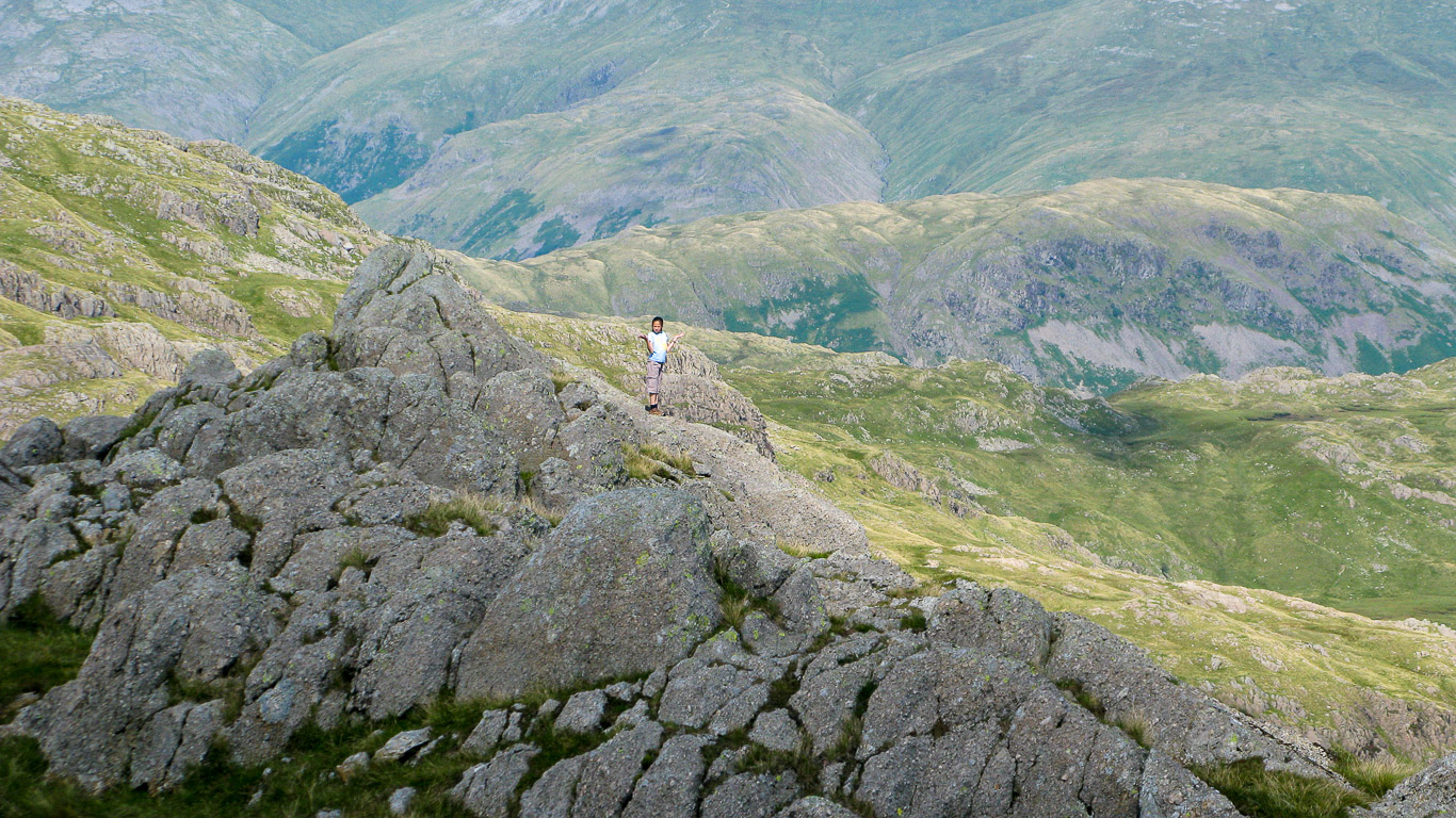
Mila looking suitably pleased with herself. As you can see it’s quite busy on the rocky summit of Harrison Stickle.
Once again, great views.
A great view of Lingmoor Fell with Side Pike in front and Blea Tarn at it’s base – taken from the summit of Harrison Stickle.
A clear view of the Coniston fells from here.
Looking over to Loft Crag from Harrison Stickle.
Pavey Ark on the left is not far now.
Looking back at Harrison Stickle.
Pal and Mila heading for Pavey Ark, it’s a glorious day, couldn’t have been better weather!
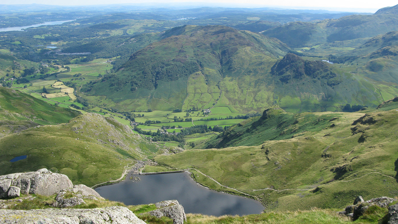
Looking down on Stickle Tarn below.
There’s walkers on the summit of Pavey Ark.
Another look back . . .
It’s busy today . . . hardly surprising with such fantastic weather.
Amazing views . . .
Pal and Mila enjoying the views, both look to have caught the sun today.
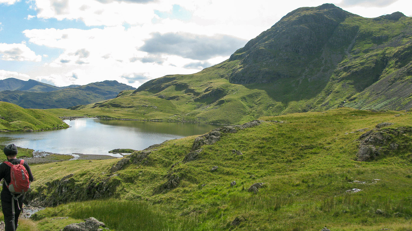
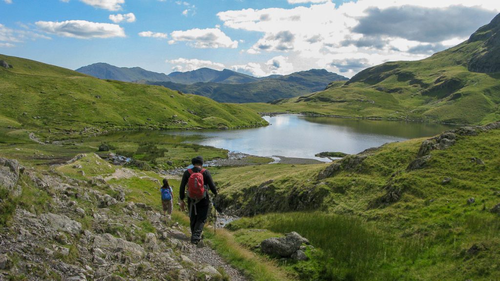
Our next goal is to descend back to the valley via Stickle Tarn below . . . but which way to go?
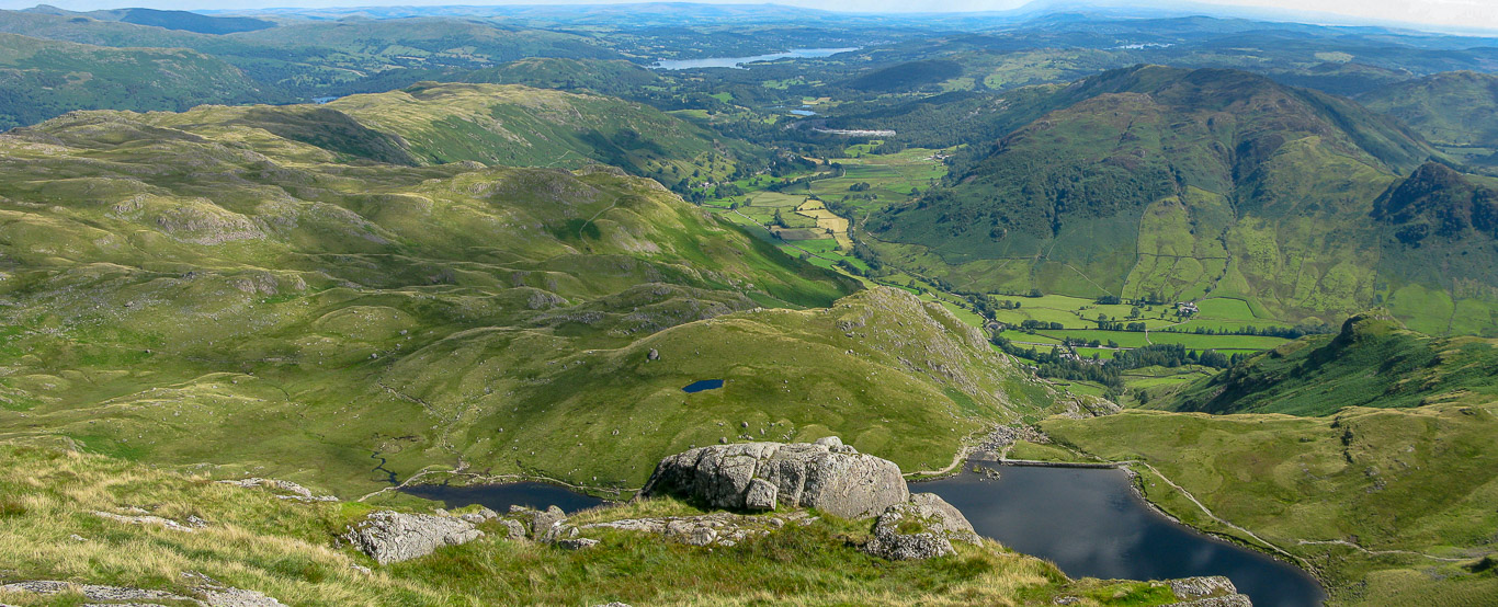
Which way mam??? Why does everyone look to me for directions when I’m notorious for going the wrong way. Well, I knew we wanted to head down to the tarn but it really wasn’t clear which way to go as there was no obvious path . . . I’m not convinced we went the best way as it was a bit hairy in places, and we had to back track at times as we came to a drop which was a little unnerving!
This first bit looks easy enough . . .
I think we may have descended using ‘Easy Gully’
A steep rocky descent . . . phew, past the tricky bits . . . just the bit of scree now before we’re on firmer ground.
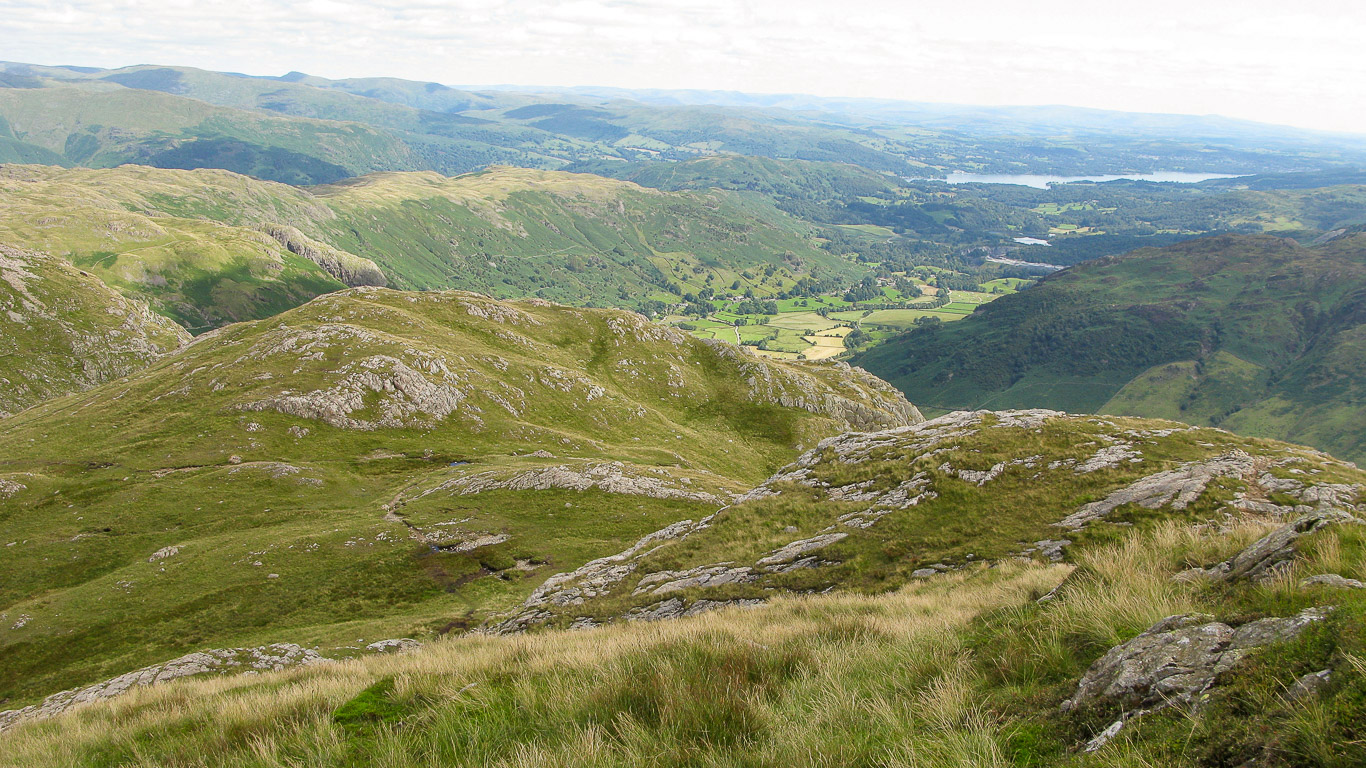
A look back at the route we took which looks really straight forward from this angle. I love the way the fells look so beautifully velvety green.
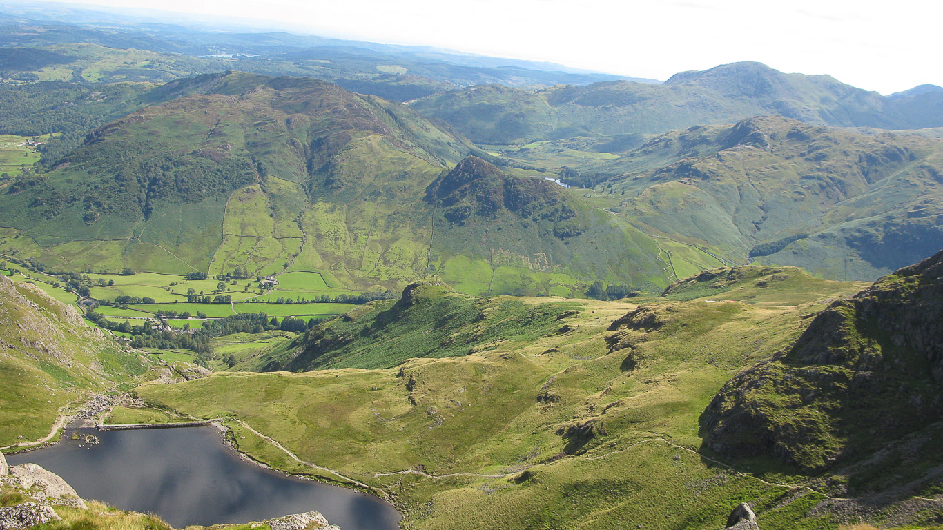
Almost at Stickle Tarn and the view just takes my breath away.
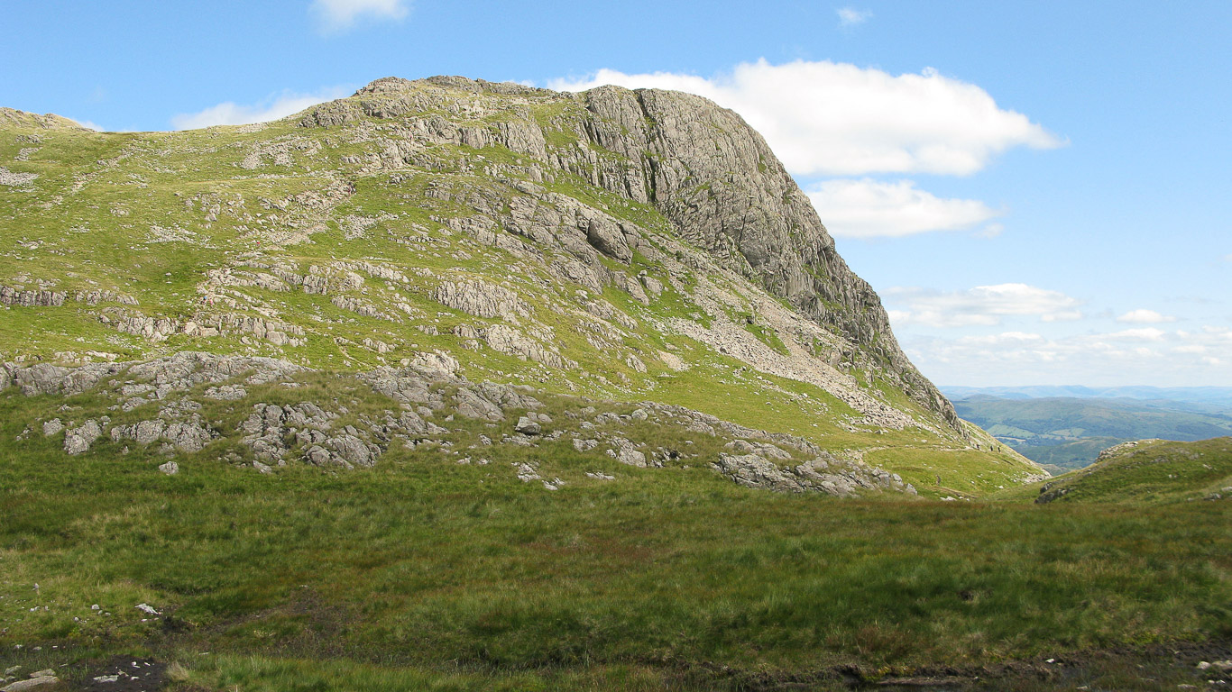
Looking back at Pavey Ark.
Harrison Crag on the left then Pavey Ark on the right.
Stunning isn’t it.
This has got to be one of my favourite photographs ever!
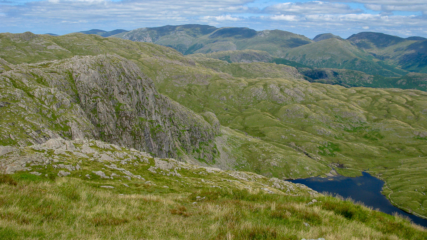
Bright Beck feeds into Stickle Tarn.
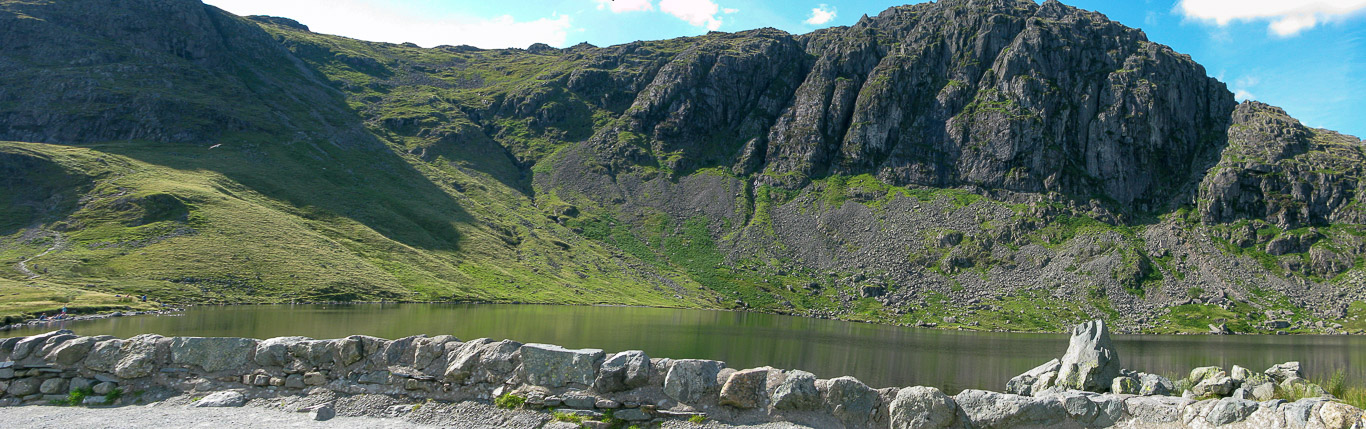
Taken from the dam end of Stickle Tarn looking up to Pavey Ark.
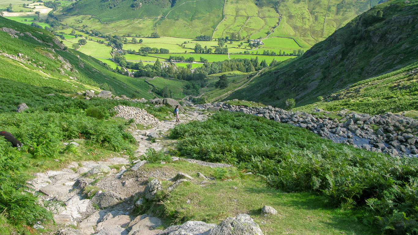
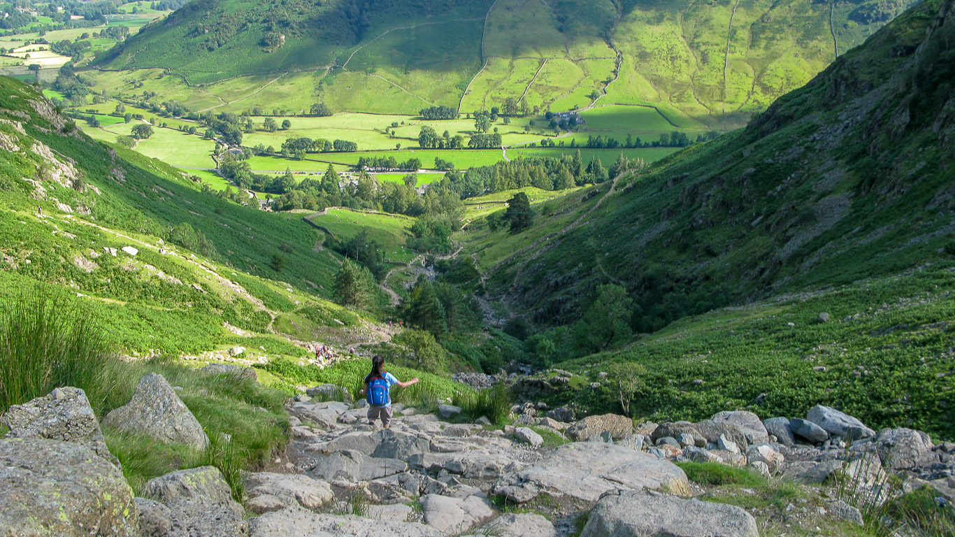
It’s definitely downhill all the way now and whereas Pal and I are really feeling it in our knees by now, Mila on the other hand has got a second wind and there’s no stopping our little fell runner as she descends at a rather alarming rate back down to the valley floor.


Mila having a quick look back at us oldies and deciding that we’re too far back to wait for!
Hurtling down . . .
A quick look up at the waterfall of Dungeon Ghyll as it descends to Great Langdale.
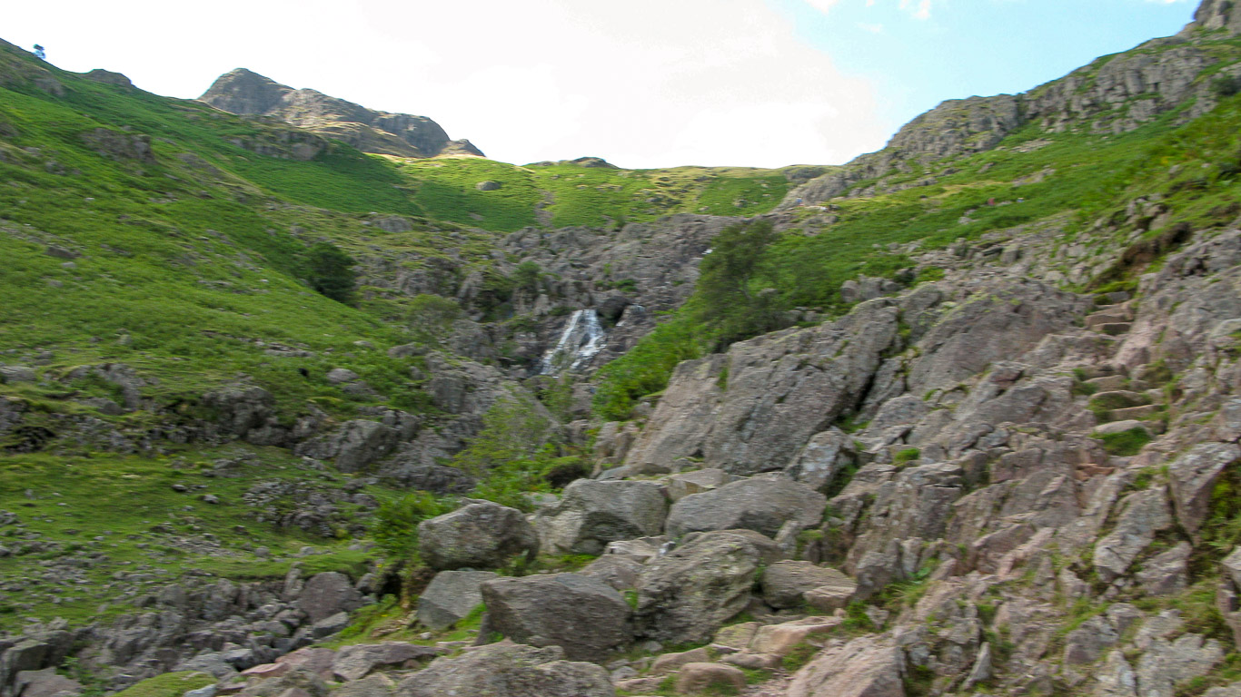
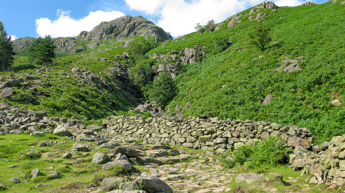
This path widens as we near the bottom.
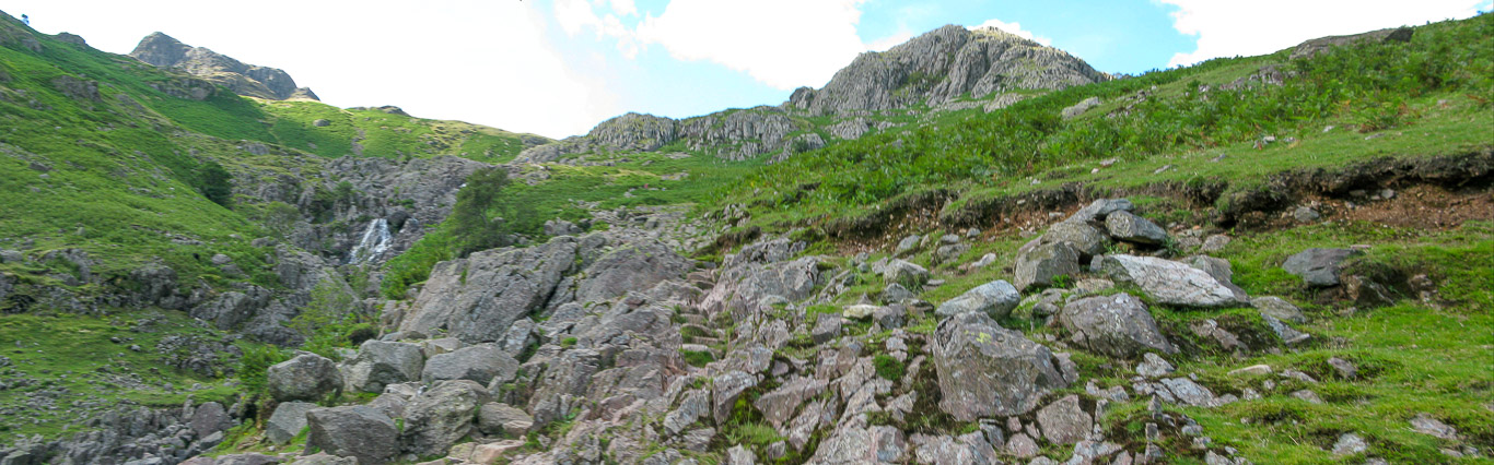
By the looks of things some walkers are just beginning their climb!

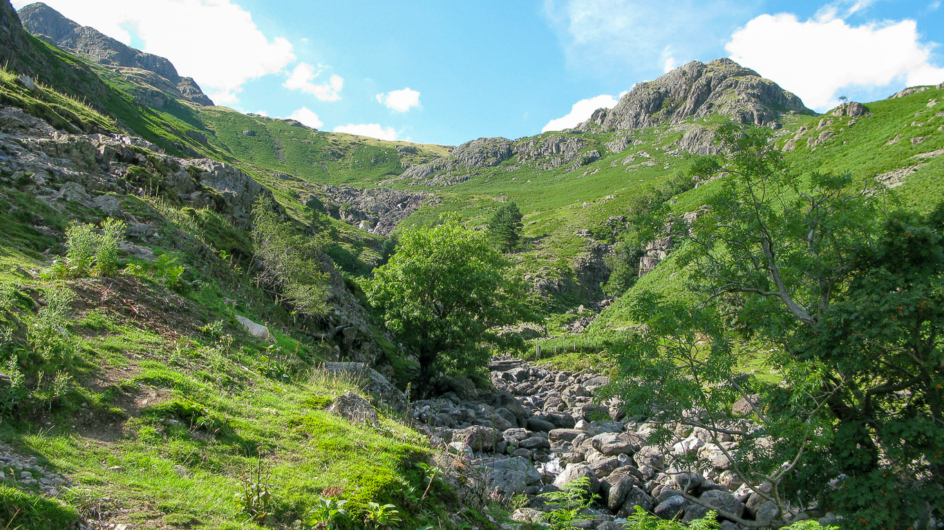
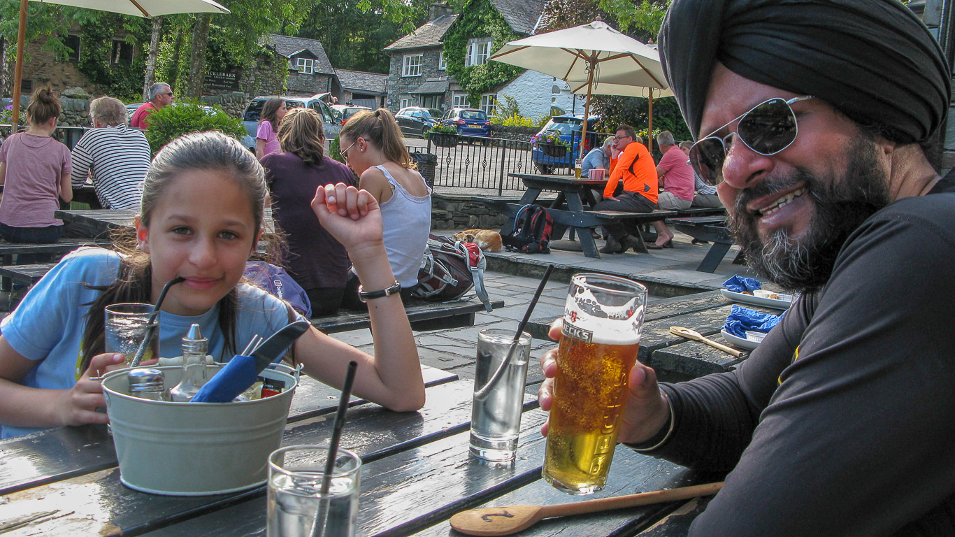
Wow, an impressive route today . . .
. . . and a very well deserved drink at the end of an exceptional day’s walk!
Time to have a quick look at the views before we drive back to the cottage.