We drove up to the Lake District this morning after having stayed at Pal’s parents in Birmingham. This was to be our first walk in many years without Mila who was on a Latin trip in Italy, it feels very strange to be in the Lake District without her.
WAINWRIGHT BOOK: The Central Fells Book 3
DIFFICULTY: 2 WALK LENGTH: 2 – 3 hours
DATE and START TIME: Saturday 9th April, 2016 c.10.20am start.
PARKING: Tarn Foot Junction (see Loughrigg Fell 3 Wainwright Book 3 The Central Fells). (NY 345 040)
ROUTE WALKED: Tarn Foot Junction – Lily Tarn – Loughrigg Fell summit – and back.
WALK DETAILS: 4.2 miles
HIGHEST POINT: Loughrigg Fell – 1101ft / 336m.
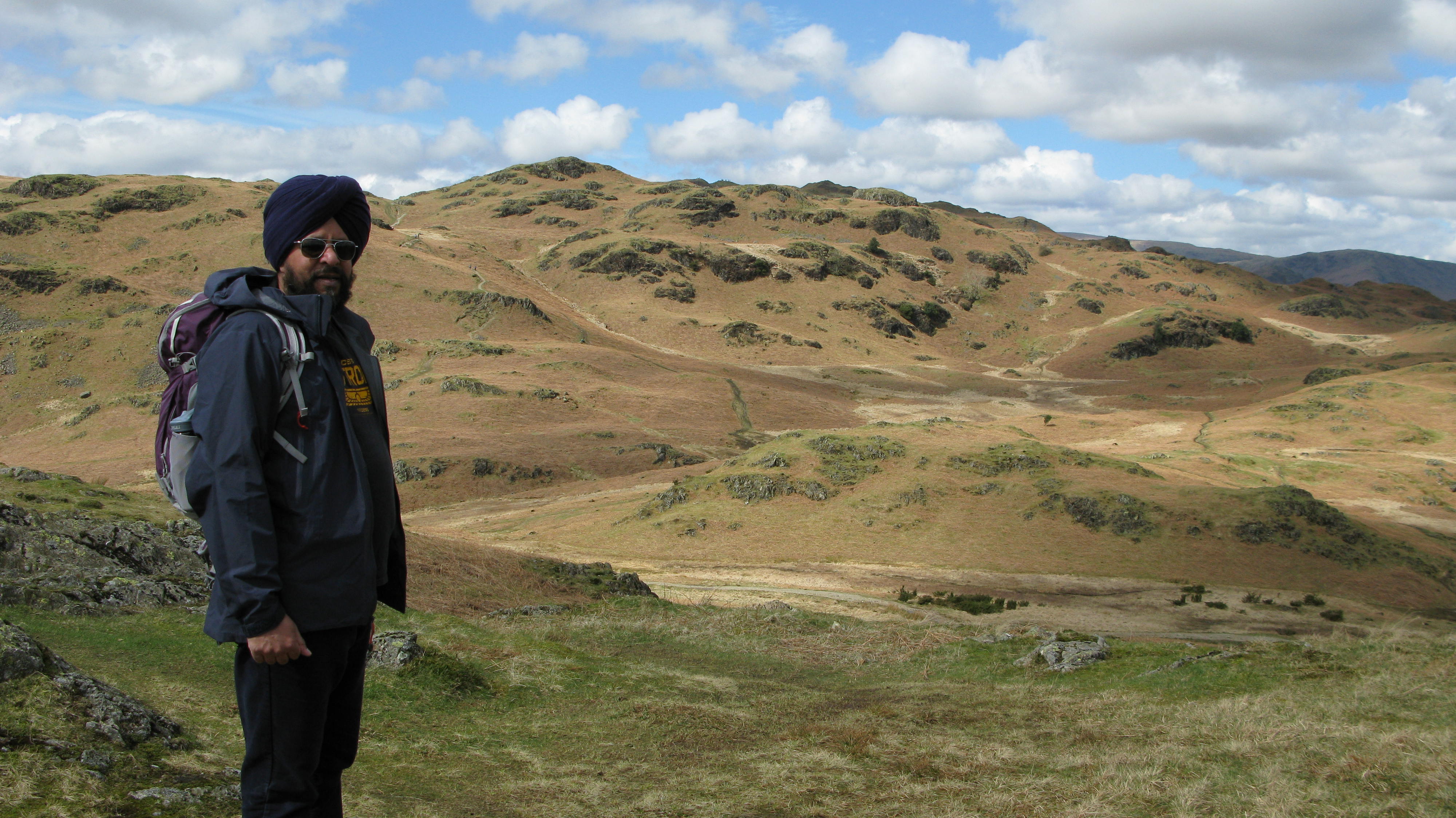
WALKED WITH: Pal (Mila was away on a school trip to the Bay of Naples)
WEATHER: Lovely though a bit cloudy but a great day for walking.
It took us a little while to find the right starting point – as usual – but was easier once we turned the Garmin GPS on and followed the coordinates! We walked up the road on the left of the photo (one of the car parks is pretty much on the right behind the trees); then turned left heading towards where the two roads converge.

This is a great circular walk. We started down the Ambleside bridleway, following the track through the right hand gate and would finish the walk coming through the gate on the left.

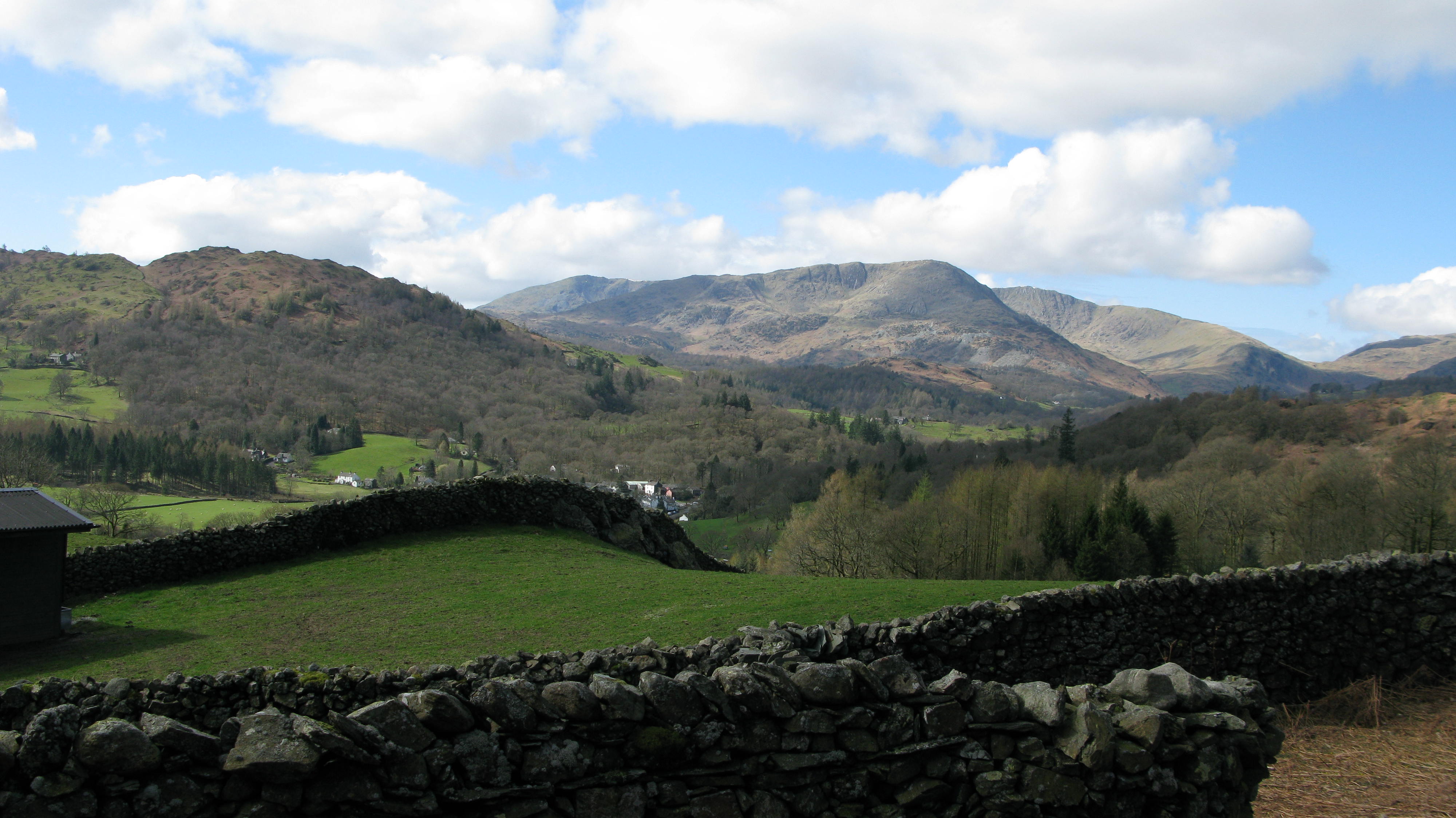
Tarn Foot Lodge overlooking the beginning and end of our walk.

Pal is just following the Ambleside bridleway (marked with a slate sign to avoid confusion) and there is Loughrigg Fell in the background.

As we walk the views open out: Coniston Old Man – Brim Fell Wetherlam Swirl How – Great Carrs – Wrynose Pass – Pike o’ Blisco.
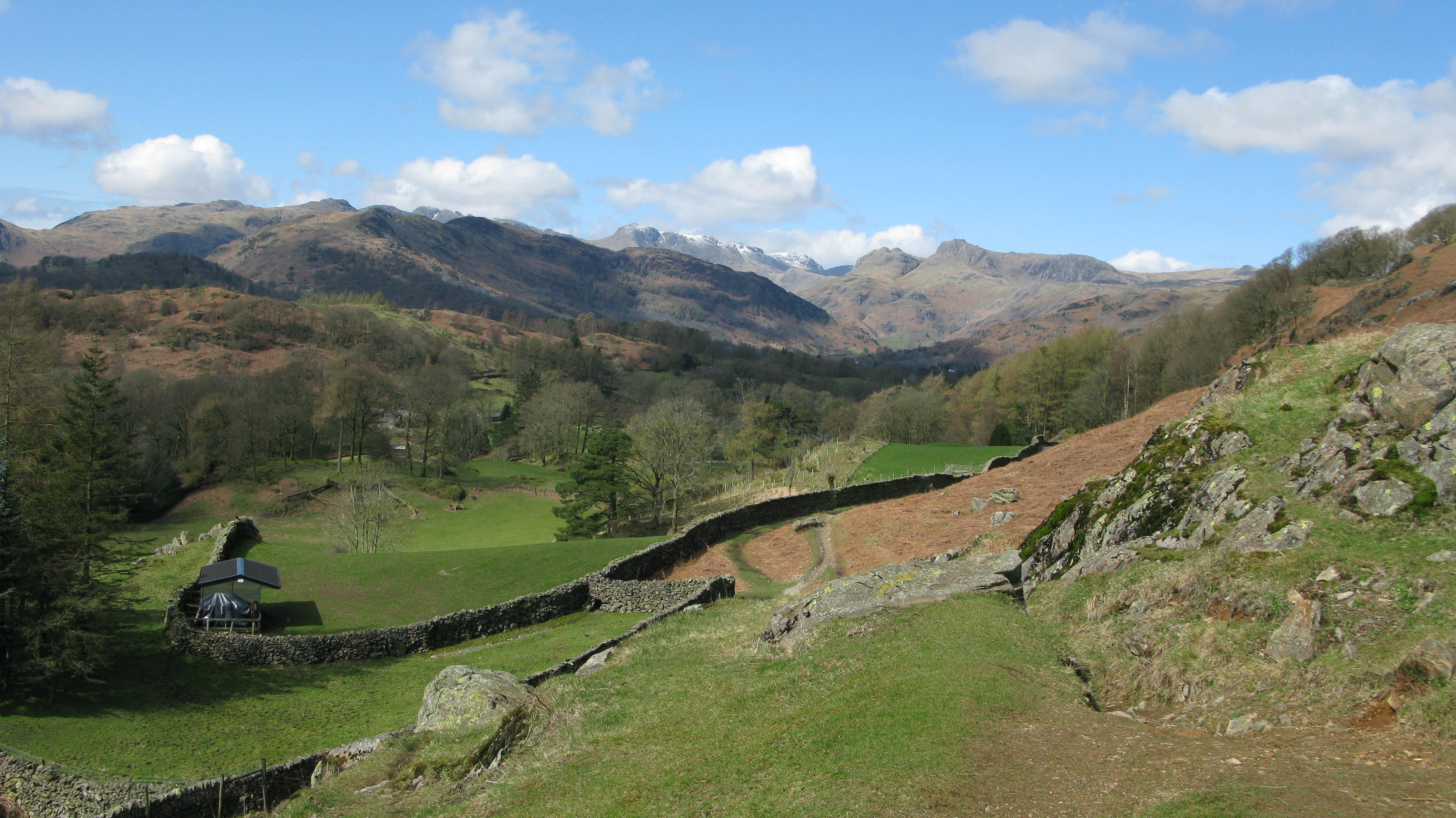
 This is pretty much a continuation of the last photo, either track can be taken : Wrynose Pass – Pike o’Blisco – Bowfell – Langdale Pikes – Lingmoor Fell in front of Pike o’ Blisco.

Following the path you soon get to this fine bench from which to admire the amazing view. Lake Windermere is in the background and I think you can just see the white building which is the Low Wood Hotel where we’re staying. 
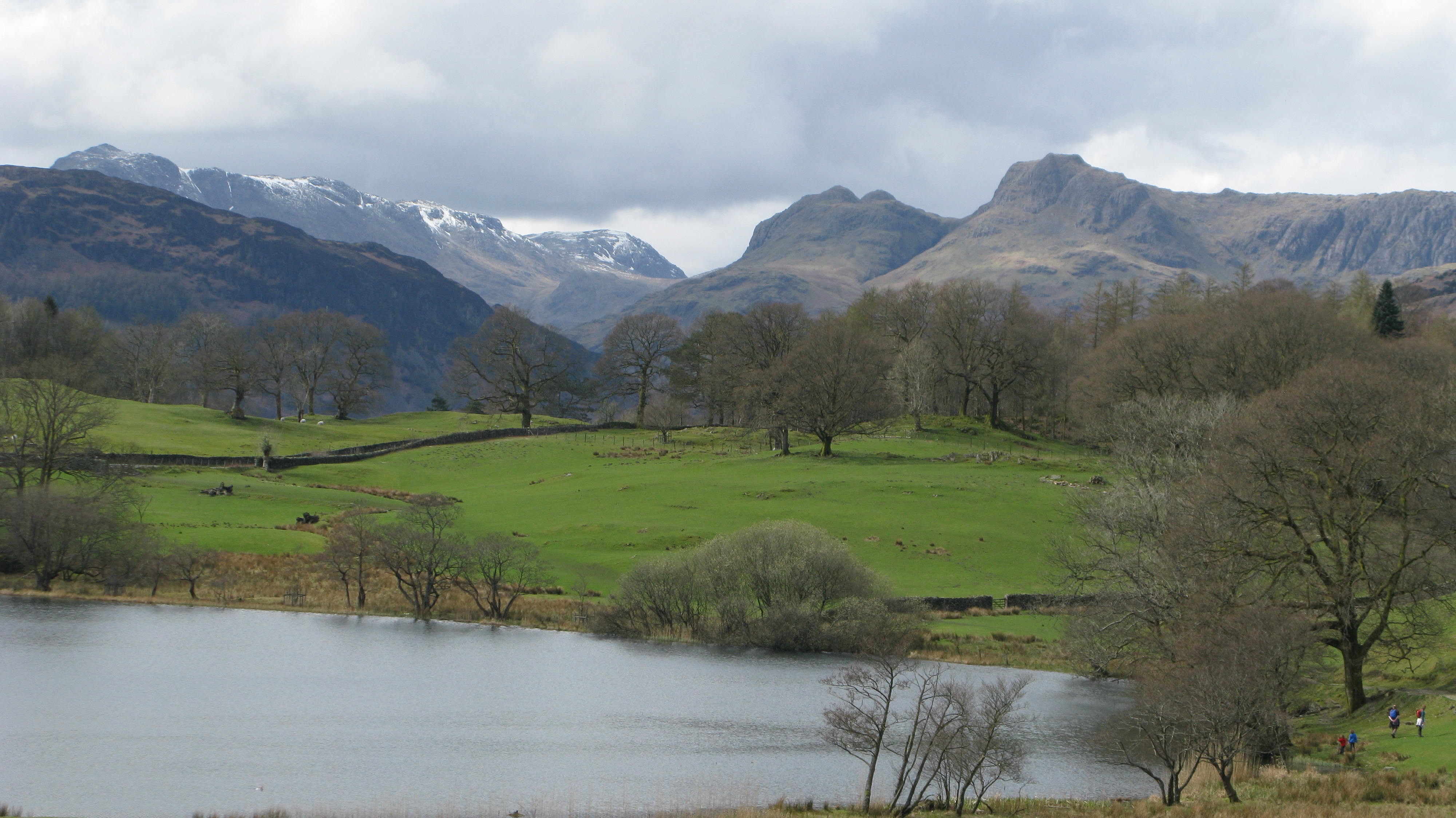
The view from the bench showing the snow capped Bowfell and the very distinctive Langdale Pikes: Loft Crag – Pike o’Stickle – Harrison Stickle – Pavey Ark.
Looking further to the left from the bench: Wetherlam – Swirl How – Great Carrs – Wryness Pass – Pike o’Blisco – Crinkle Crags (just visible) and Bowfell.

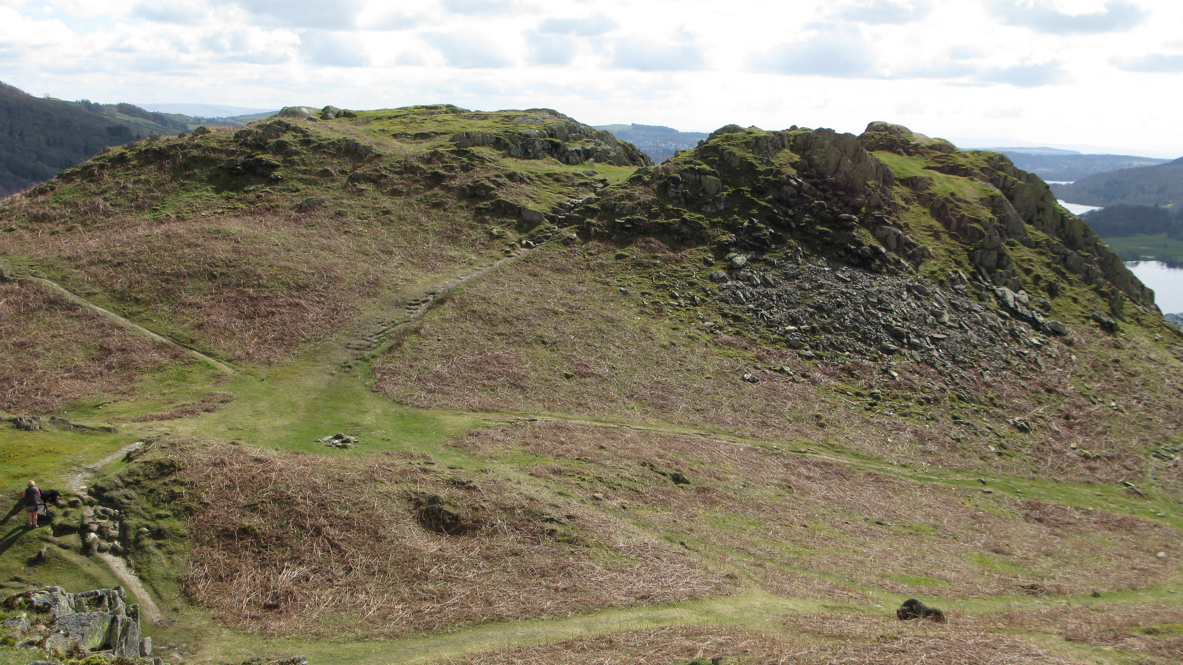
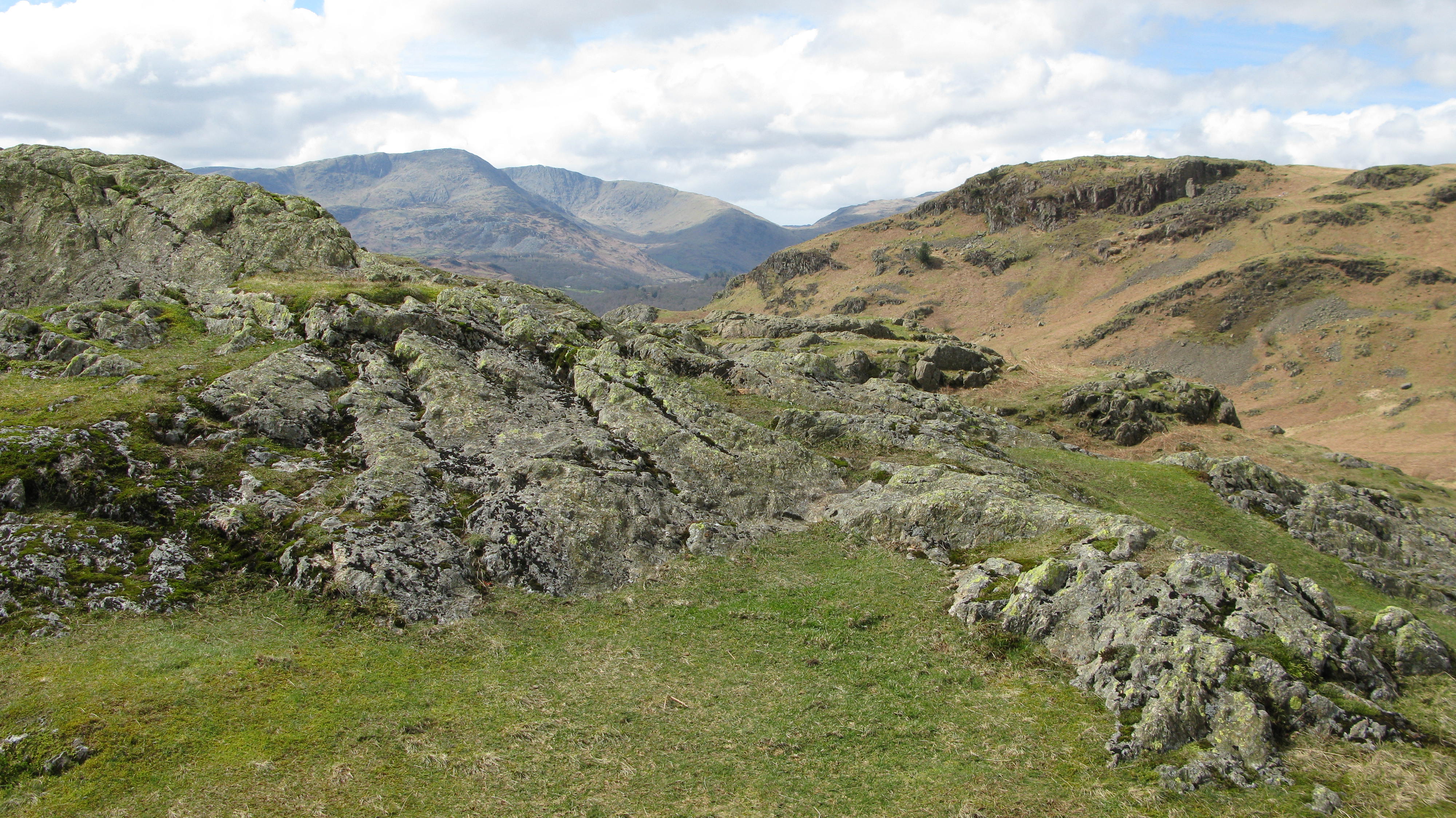
You can see how confusing the top of Loughrigg fell can be, there are lots of paths running here and there. For this walk we’re walking alongside the wall heading towards the right, in the direction of Ambleside and Lake Windermere.

The route we’re taking is really quiet and a wonderful easy first walk for this trip.

A great view, looking north, of the Fairfield Horseshoe: Nab Scar, leading to Heron Pike – Great Rigg – Fairfield – Hart Crag – Dove Crag – High Pike – Low Pike – the Vale of Scandale – Red Screes (western slopes).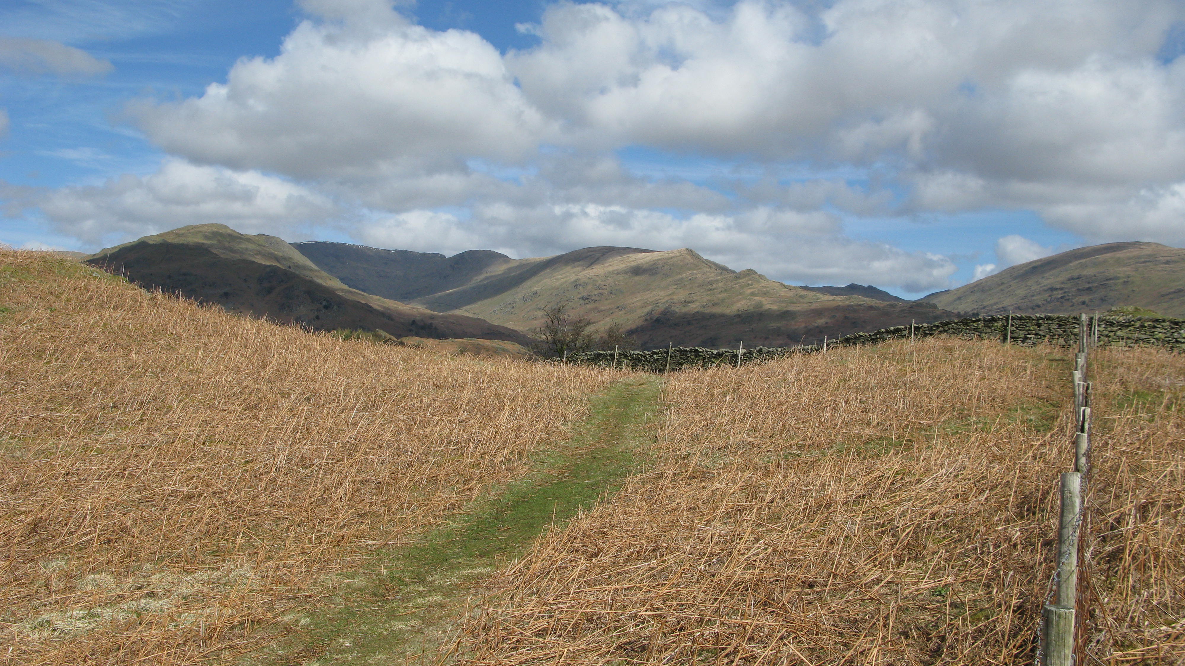
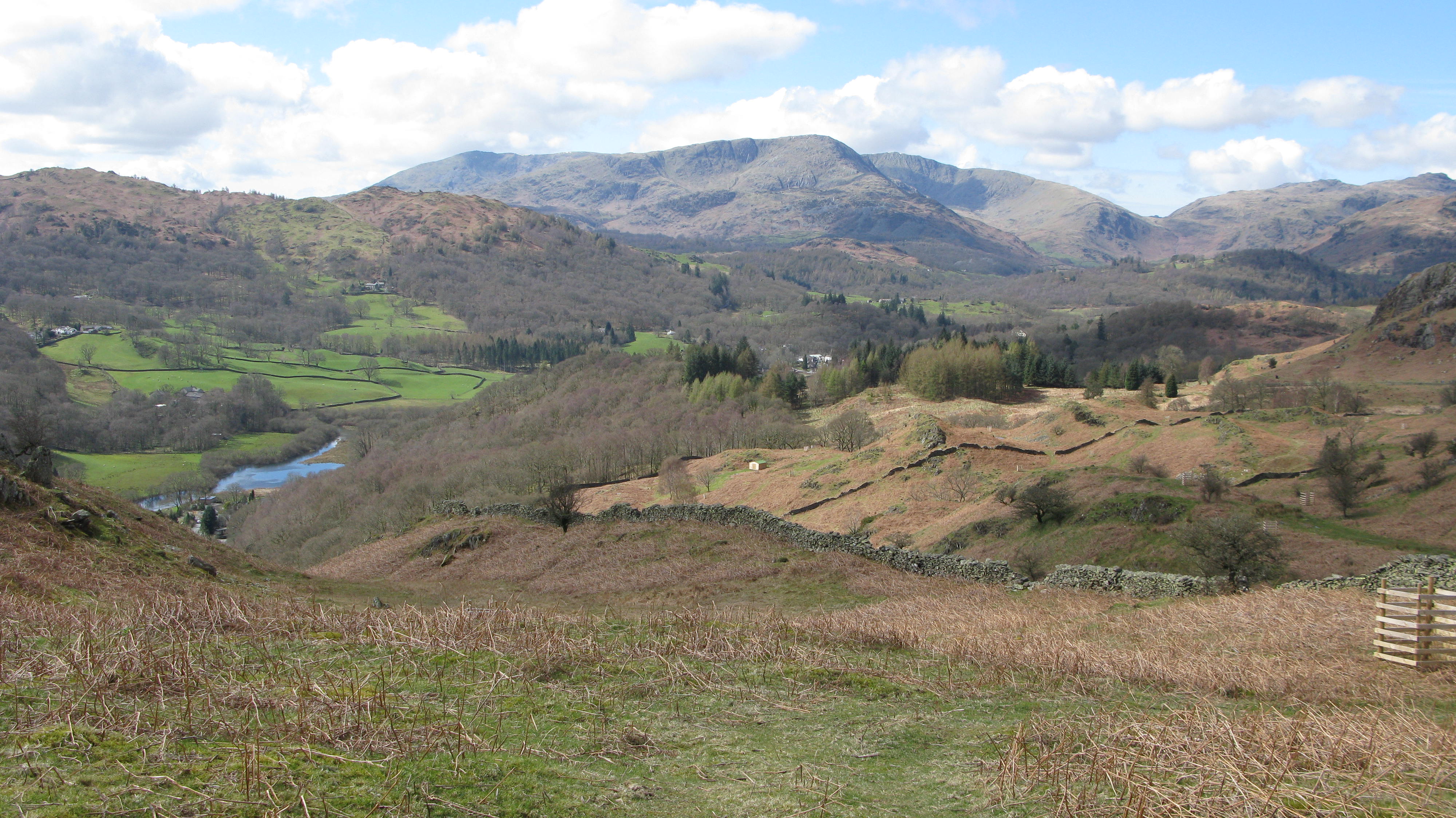
The River Brathay leads on to Elterwater further up stream.
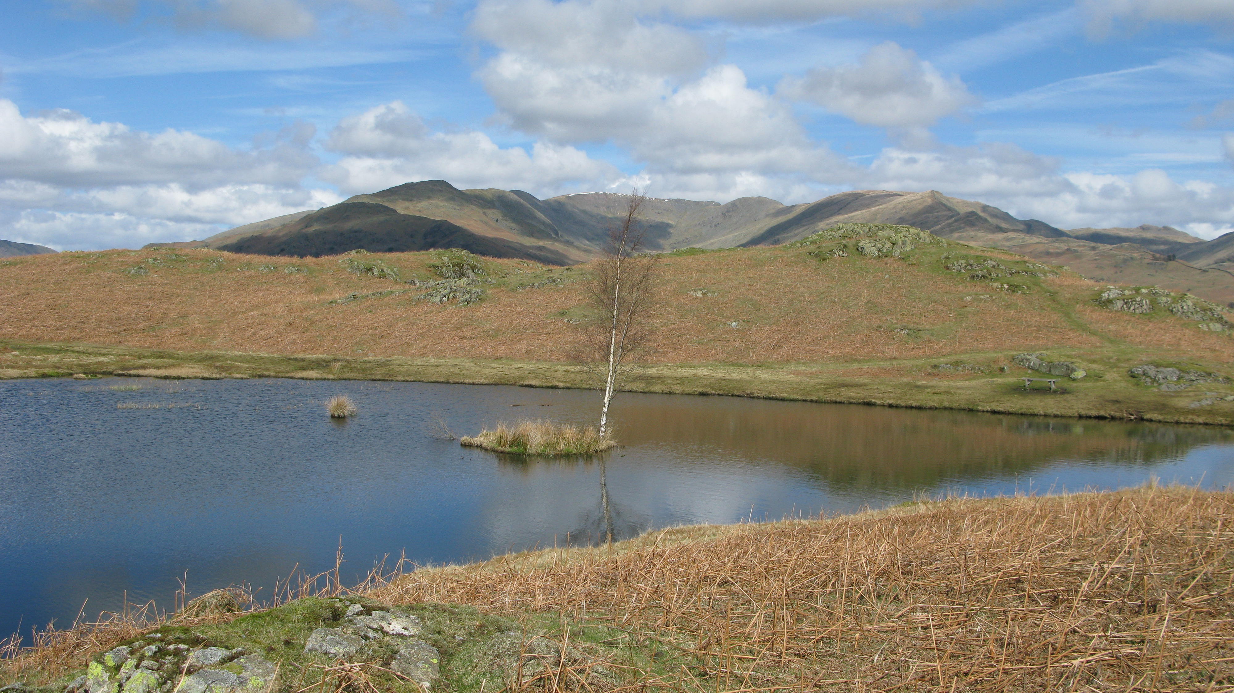
Lily Tarn and the furthest we’re going on this walk with Wansfell Pike in the background. There’s a small wooden bench on the far side of the tarn, the perfect spot for a bit of lunch. We saw very few people at this end of Loughrigg, though we did see a family of fell runners which put us rather to shame as they caught us up on their return journey .
It was so peaceful, the perfect getaway from the hustle and bustle of life.

Isn’t this a great view of Lily Tarn with the Fairfield Horseshoe in the background.
Taken from the other side of Lily Tarn, with views of Ambleside and the Kentmere Fells: Froswick – Harter Fell – Ill Bell – Yoke.

Looking back at the way we’ve walked, Lily Tarn is just beyond with Windermere on the right.
A close up view of the Fairfield Horseshoe.

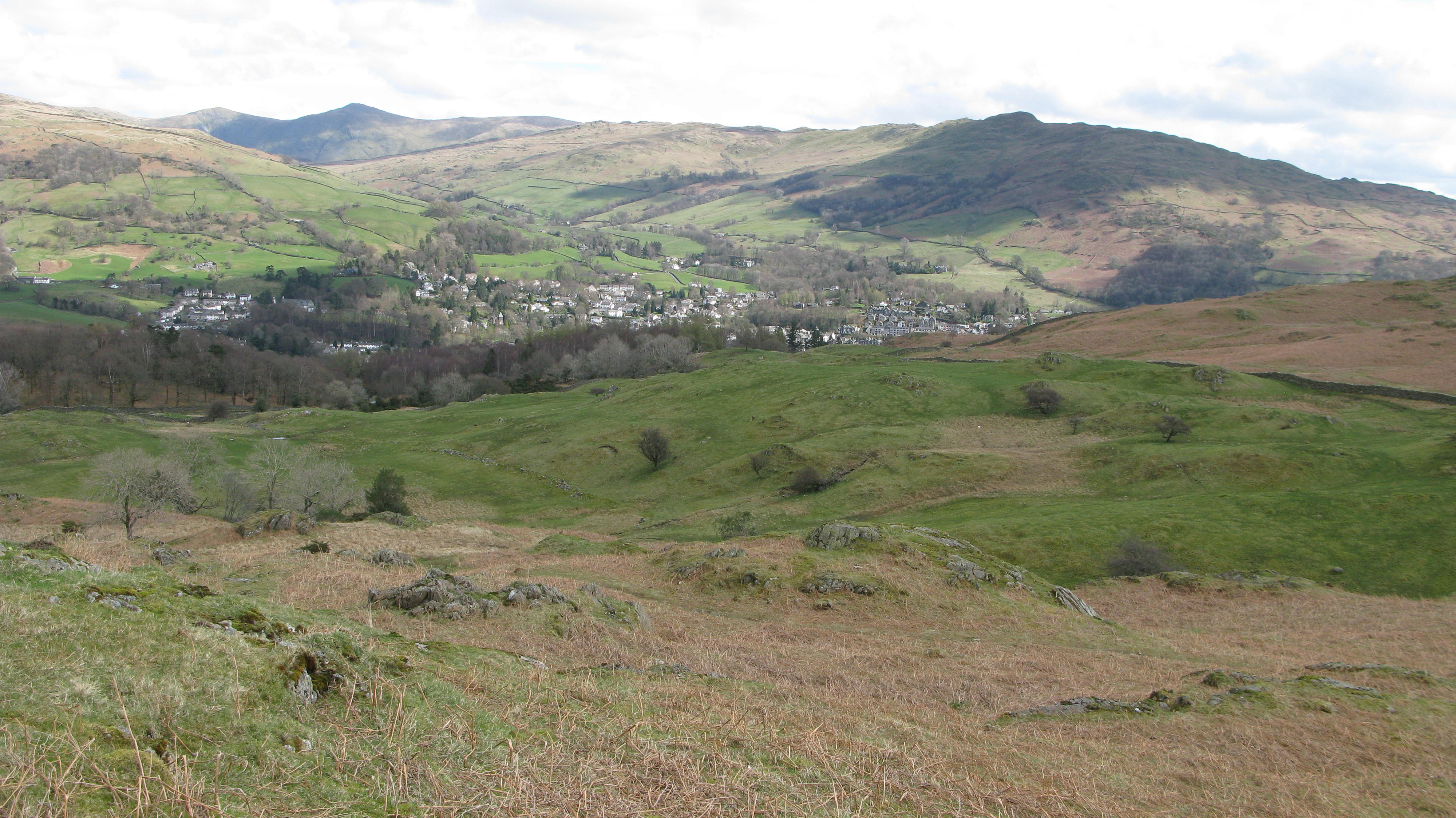
Another view of Ambleside with the Kentmere Fells behind.
You can see the crazy labyrinth of paths all over Loughrigg – so much to explore! As Wainwright says, (Loughrigg Fell 3) “It has more paths to the square mile than any other fell . . .”
There are rocky outcrops, hidden corners and countless hollows and humps, but this photo also shows how easy it is to get lost on Loughrigg, in poor visibility you could end up going round and round in circles. In in good visibility it’s a lot easier with my GPS! Basically you just need to head for the highest point where you’ll find the trig point pillar marking the true summit of the fell.
Another view over towards the south west with Wetherlam and behind it Swirl How, Great Carrs & the Wrynose Pass.
Our first view of Loughrigg Tarn, & the River Brathay just to the right. In the background you can once again see the fells south west to west: Coniston Old Man – Brim Fell & Wetherlam – Swirl How – Great Carrs – Wrynose Pass – Pike o’Blisco – leading to Crinkle Crags and Lingmoor fell in front.

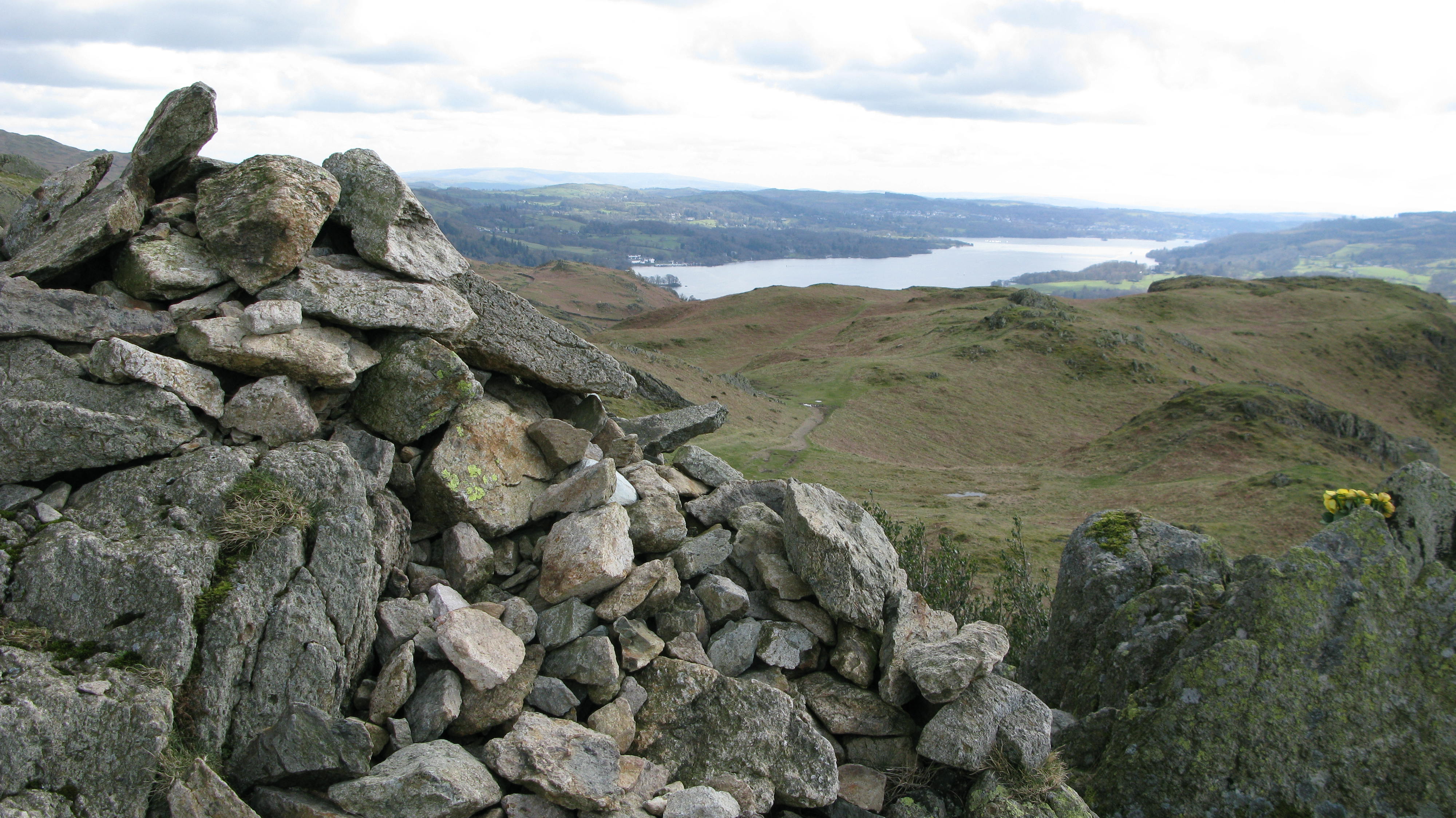
From the summit cairn you can look back at the route we’ve walked and beyond to Lake Windermere and Bowness-in-Windermere, Wikipedia describes it as “the largest natural lake in England. It is a ribbon lake formed in a glacial trough after the retreat of ice at the start of the current interglacial period.”
Looking south west to west.

Elterwater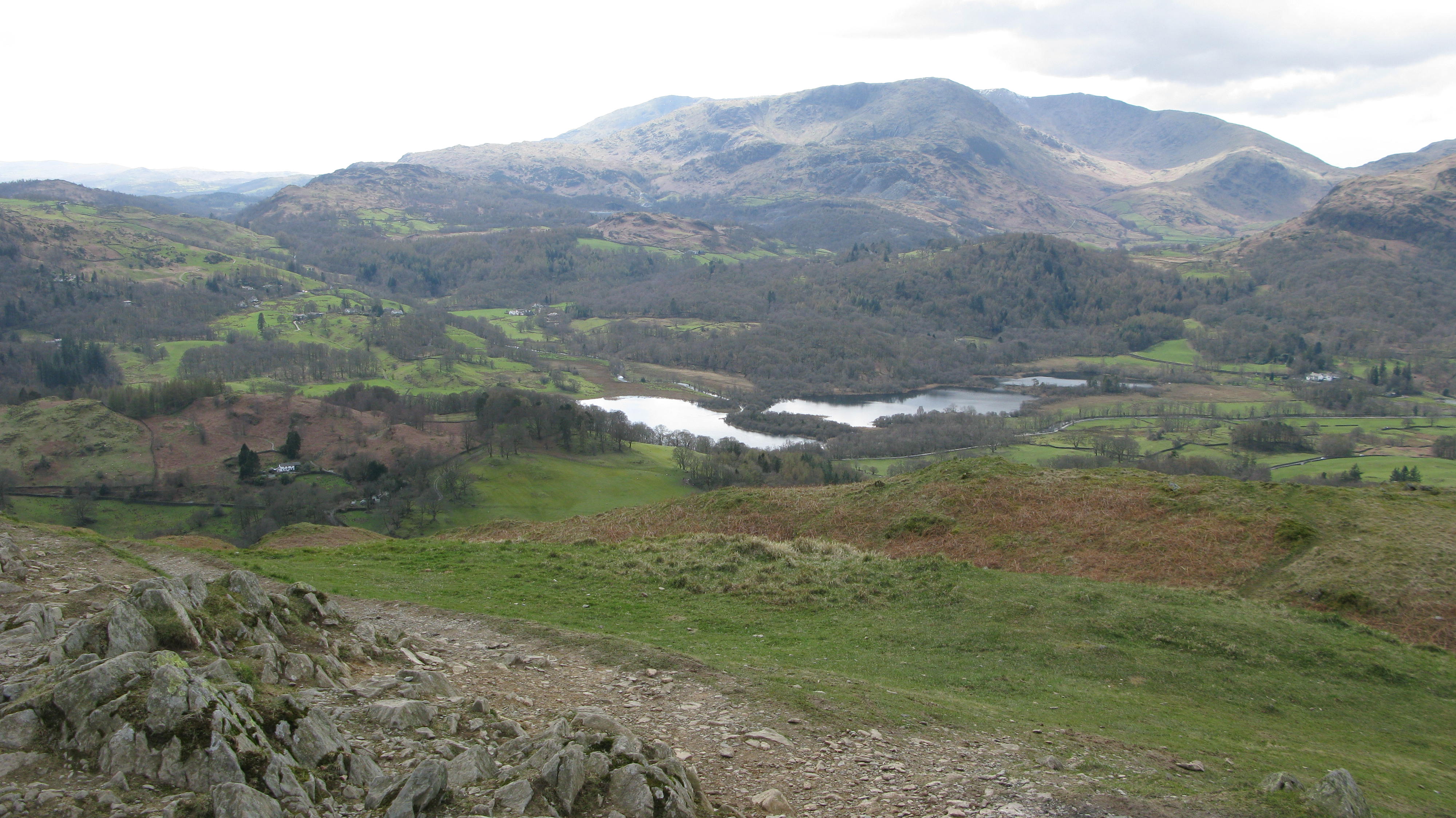
Loughrigg Trig summit pillar with Elterwater below and Wetherlam behind.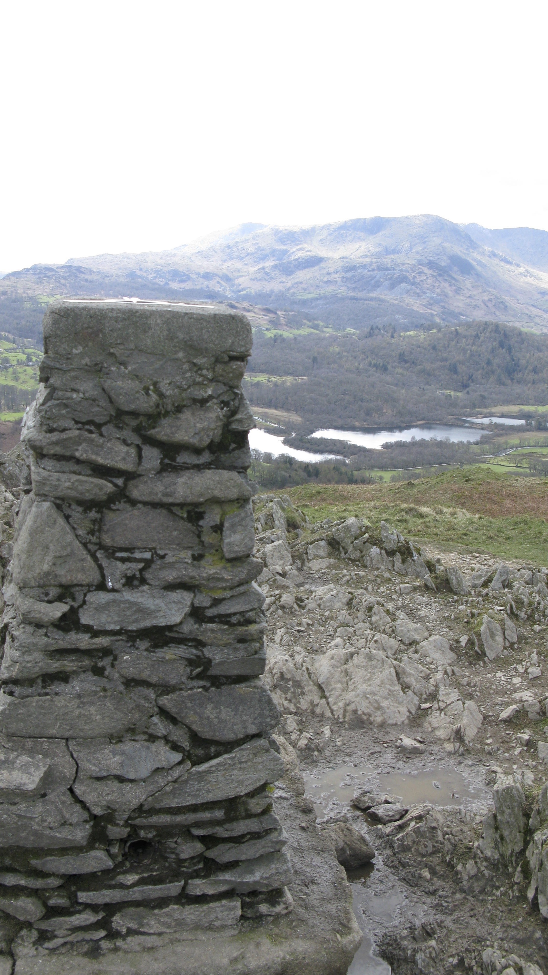
Another photo of the summit trig pillar, this time with me, looking south east with Lake Windermere in the background & Claife Heights on the right with Ambleside just visible on the east (left of the photo).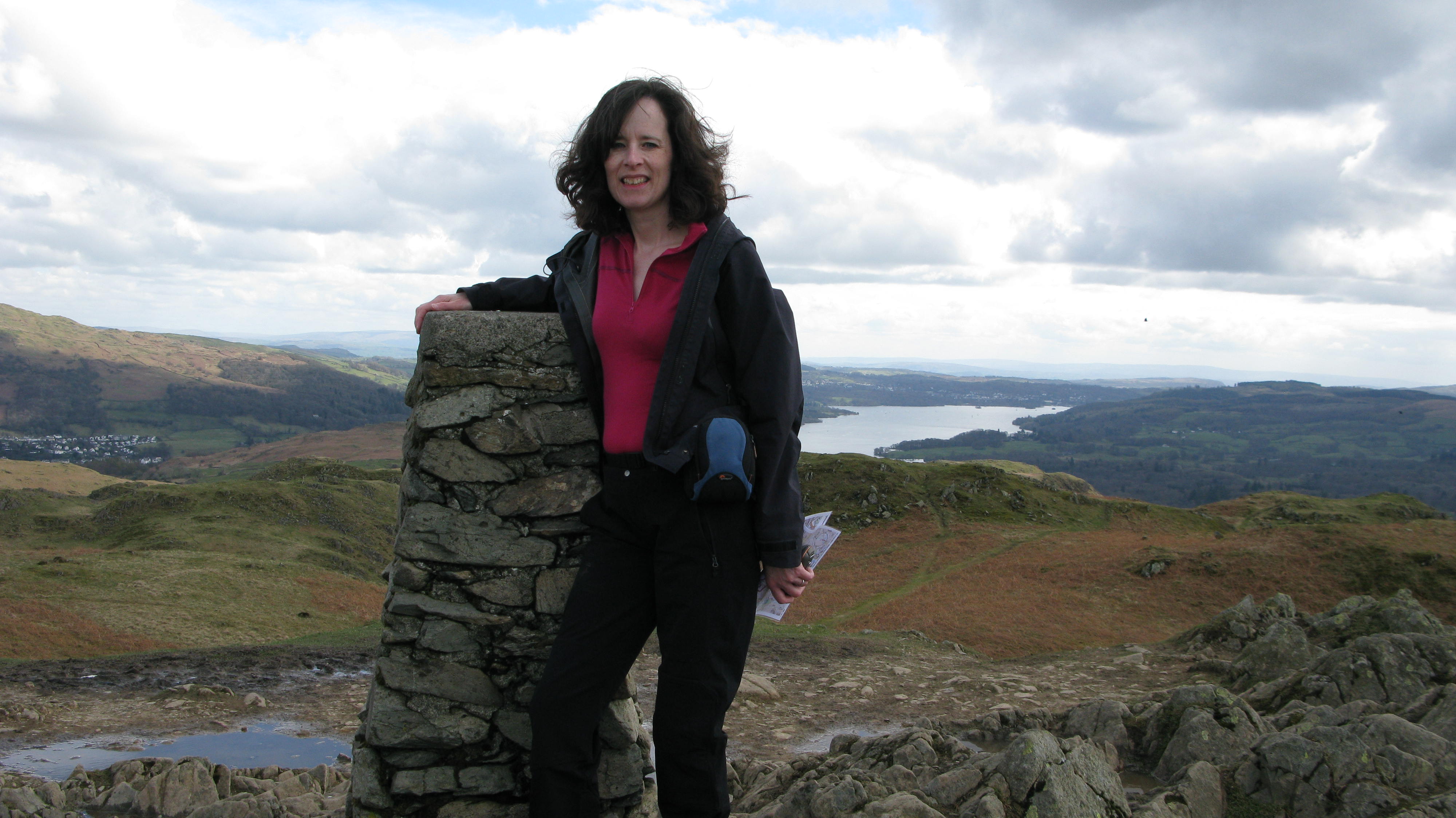
Looking north west you can see Grasmere (& the village of Grasmere) with the fells in the background being: Calf Crag – Gibson Knott – Helm Crag – Dunmail Raise (the road pass that separates south from north in Lake District terms. Through the gap you can just about see Thirlmere with Lonscale Fell beyond. To the right of Dunmail Raise you can see Seat Sandal.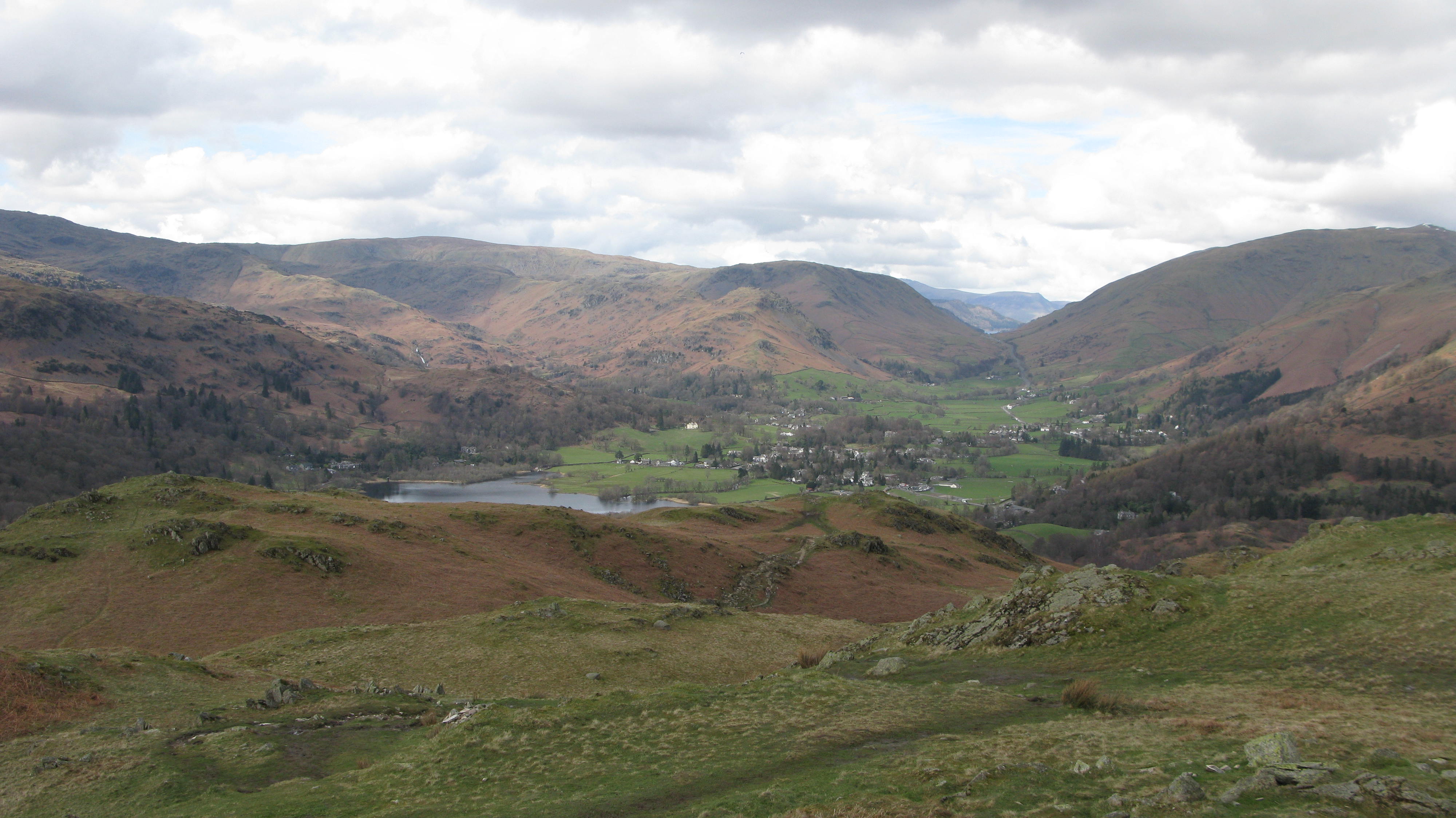
Heading down now. This lovely circular walk will finish with a walk around part of Loughrigg Tarn.
Pal near the end of the walk, we’re almost at the bottom of the fell now.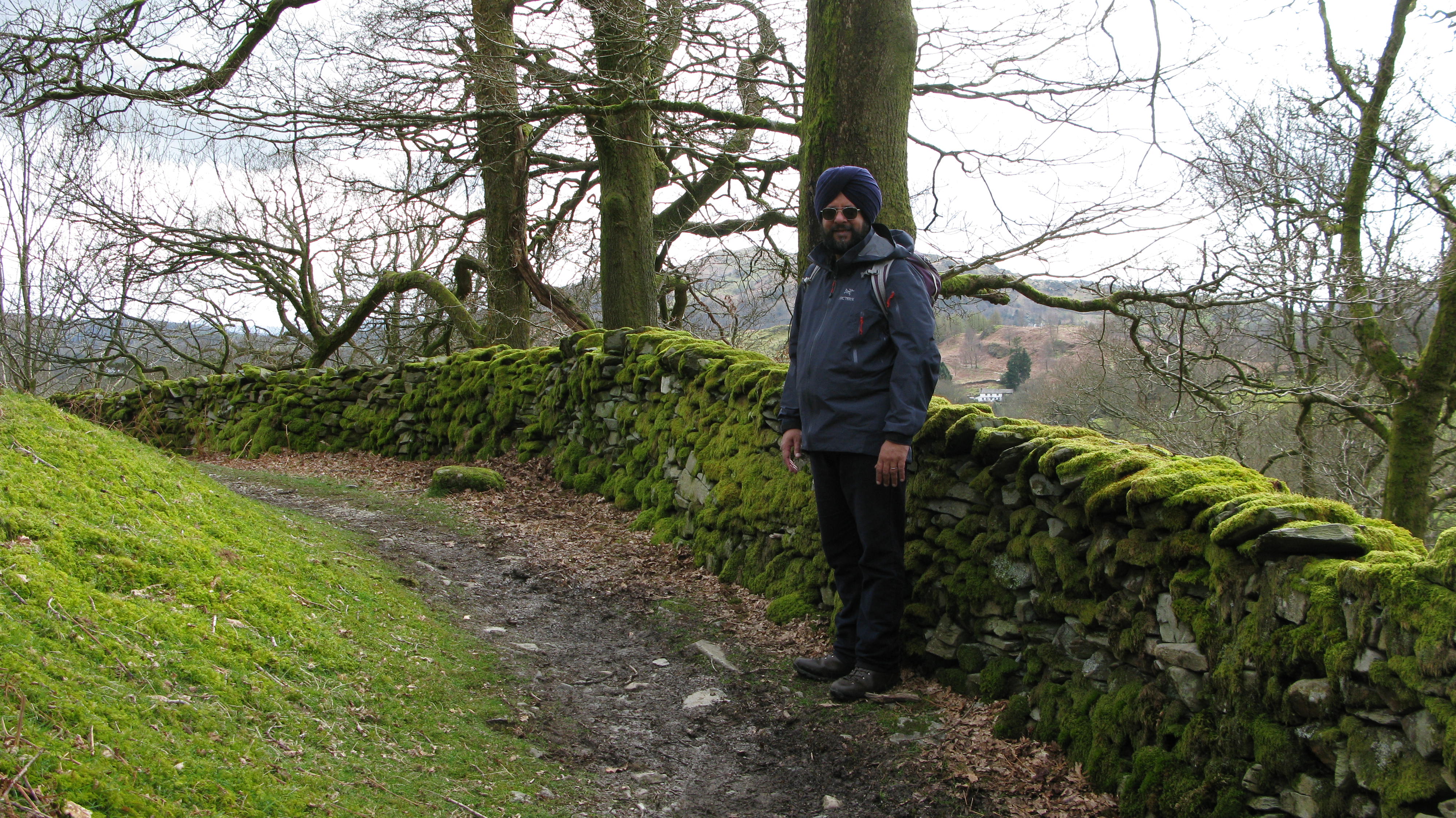
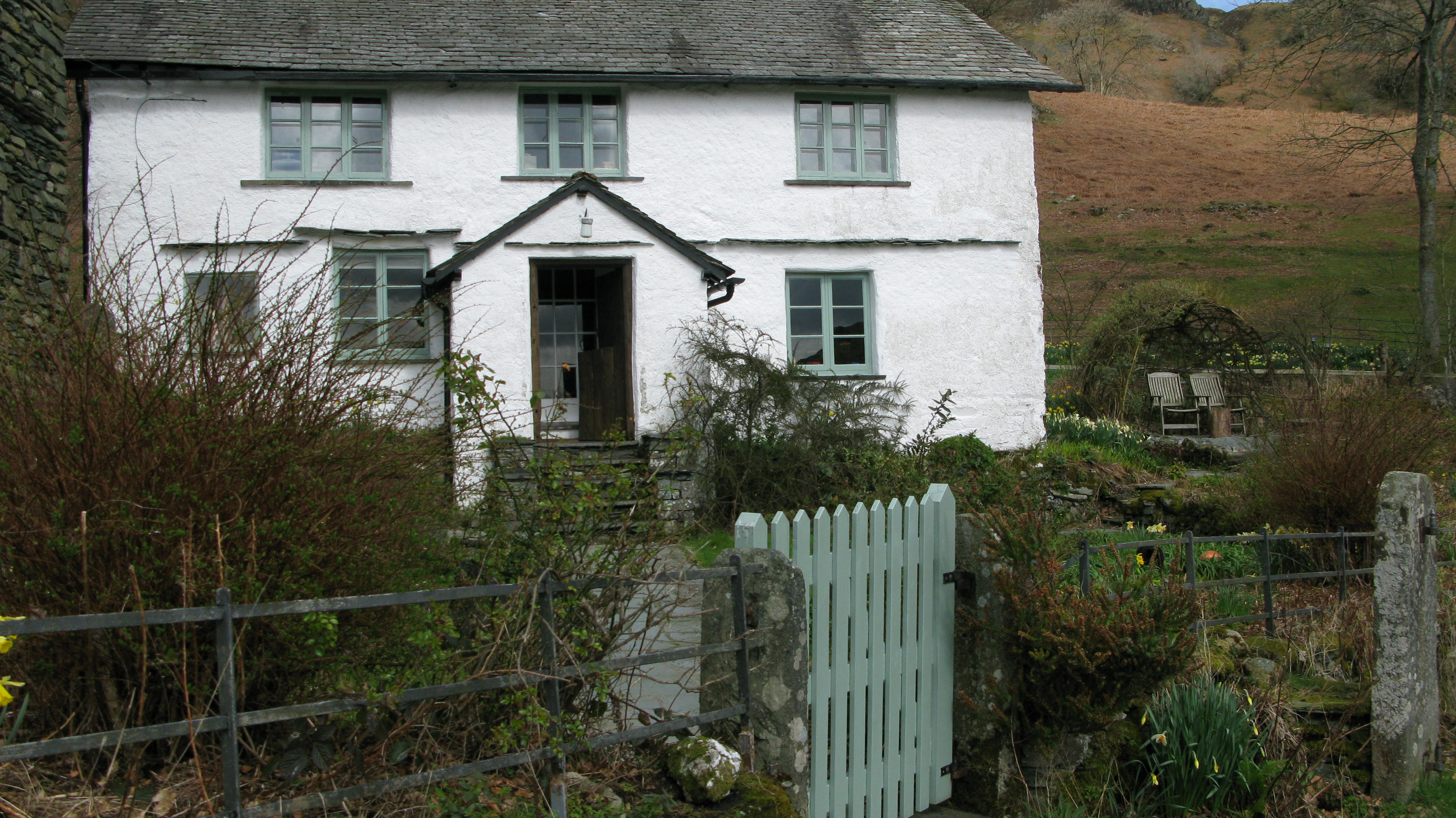
Imagine living in this gorgeous cottage with Loughrigg Fell behind, imagine sitting with a glass of wine as the sun goes down looking across the velvety green turf and the glassy surface of Loughrigg Tarn with the fells beyond! Wow – the only problem would be all the walkers traipsing past your home taking photos!
This is a fairly busy track running past the cottage and Loughrigg Tarn and will lead us back to the car.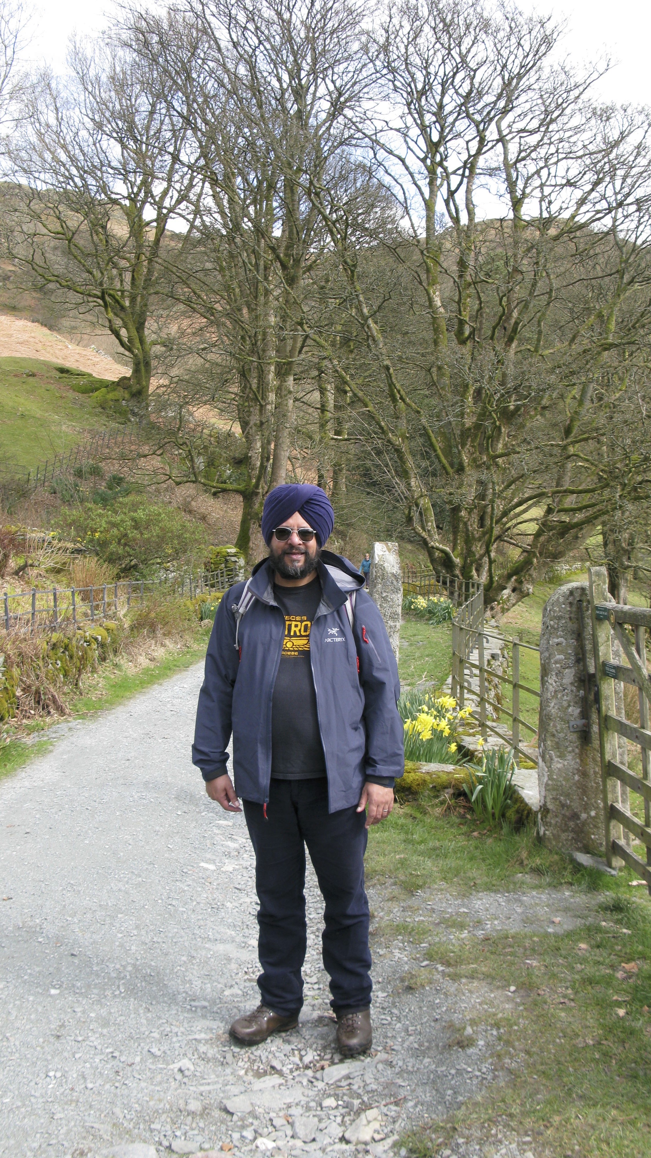
Imagine waking up to this view everyday, amazing.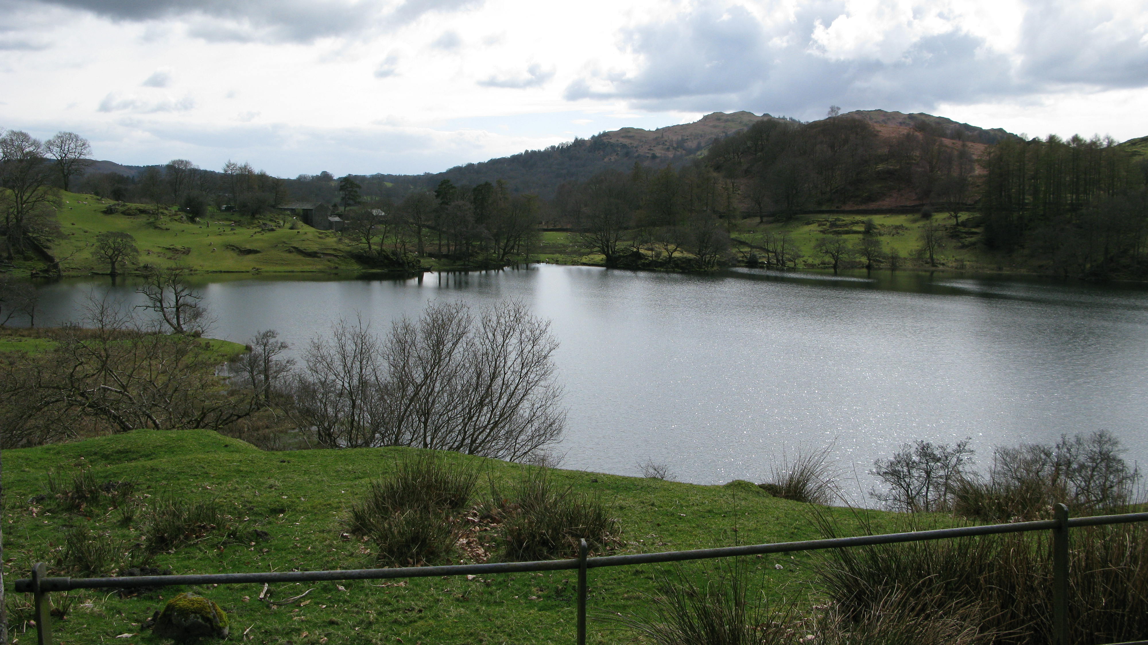
Loughrigg Tarn.

The Tarn with Bowfell and the Langdale Pikes in the background.
A final look back at Loughrigg Fell.

Do you recognise this gate? It’s the gate on the right that we saw at the beginning of our walk and marks the end of this walk!
Back to the car then off to Ambleside for tea and stickies – would you believe the forecast for the few days we’re spending in the Lake District was torrential rain and we barely saw any rain at all, we almost didn’t come because of the forecast, I’m so glad that we ignored it!