I decided that today I am actually going to start investigating the local area since I’ve lived in Cambridgeshire for a number of years but haven’t done much walking here I’m finally going to address this. What’s deterred me is the the lack of hills which I find a little dull, but the villages around Cambridgeshire are very pretty so armed with my new camera (Fuji XT2) and my Garmin I set out.
DIFFICULTY: 1 WALK LENGTH: Half a day (3-4 hours)
DATE and START TIME: Monday 10th April 2017, 10.22 am start.
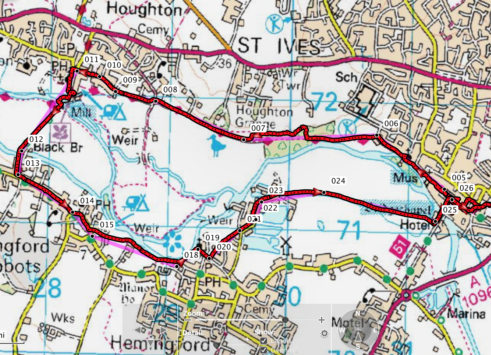
PARKING: St Ives car park, Cambridgeshire (TL 316 712).
ROUTE WALKED: Market Hill in St Ives, St Ives Thicket along the Ouse Valley Way, Houghton Mill (National Trust) cafe, Hemingford Meadow, Hemingford Abbots, Hemingford Grey and back to St Ives.
WALK DETAILS: 7.3 Miles (including a walk around the market in St Ives at the beginning), 4 hours including a good lunch break at the NT cafe at Houghton Mill.
HIGHEST POINT: Negligible, 78f, this is Cambridgeshire after all!
WALKED WITH: On my own.
WEATHER: Much colder than it was at the weekend, cloudy but when the clouds parted and the sun came out it was beautiful!
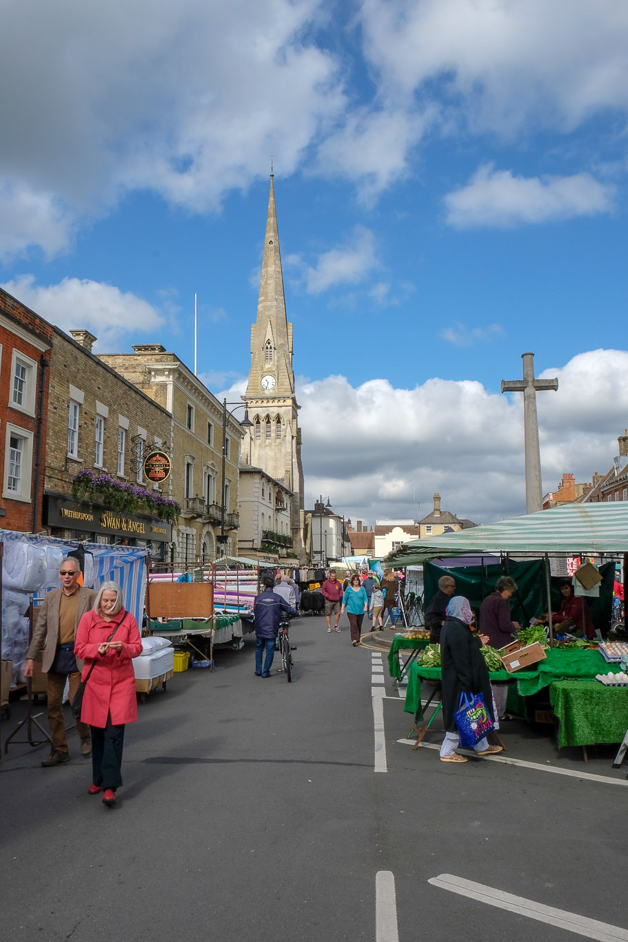
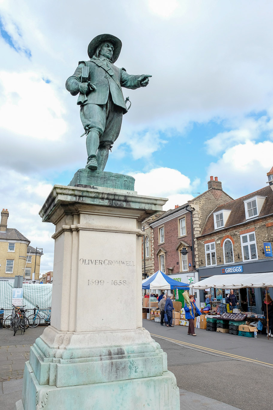
This walk starts in Market Hill by the statue of Oliver Cromwell. It’s the first time I’ve actually been the the market in St Ives and I spent quite a while enjoying the sights and sounds – I’ll have to come another time to pick up some garden plants which looked to be a great price.
Oliver Cromwell, a very controversial figure in British history rose from relative obscurity as an MP for Huntington where he was born. He was a fanatical puritan who enforced the abolition of Christmas and won the first civil war involving the whole of Britain and was the key figure in the execution of Charles I.
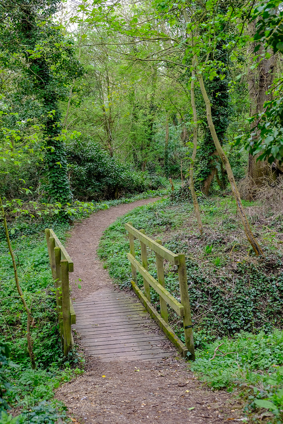
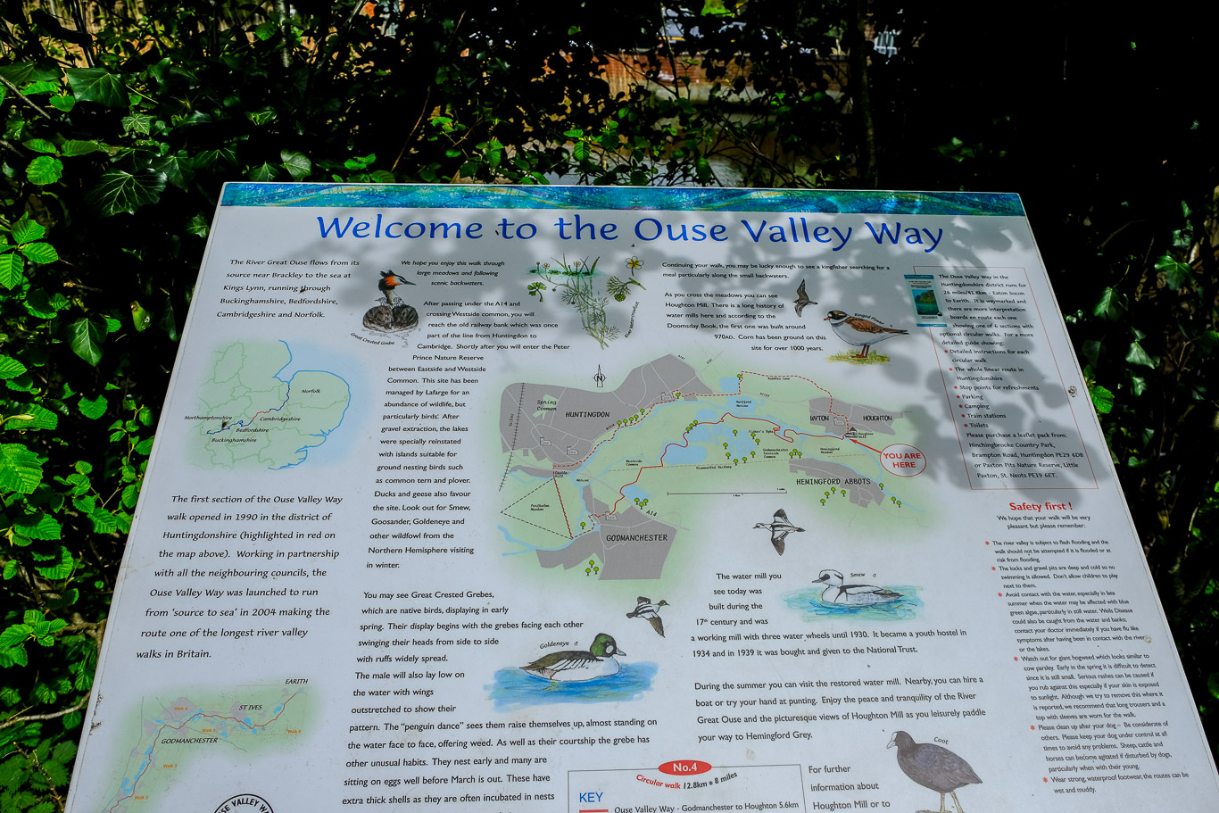
From the market place the planned walk took me down the street to the right of the statue of Cromwell and on till I came to a church with the path running through the churchyard. Through the churchyard and there’s a footbridge (which you don’t cross) and to the side of this is a sign for the ‘Ouse Valley Way‘, it’s this footpath that I followed which runs alongside the River Great Ouse. It’s a very easy route along a tree lined tarmac path.
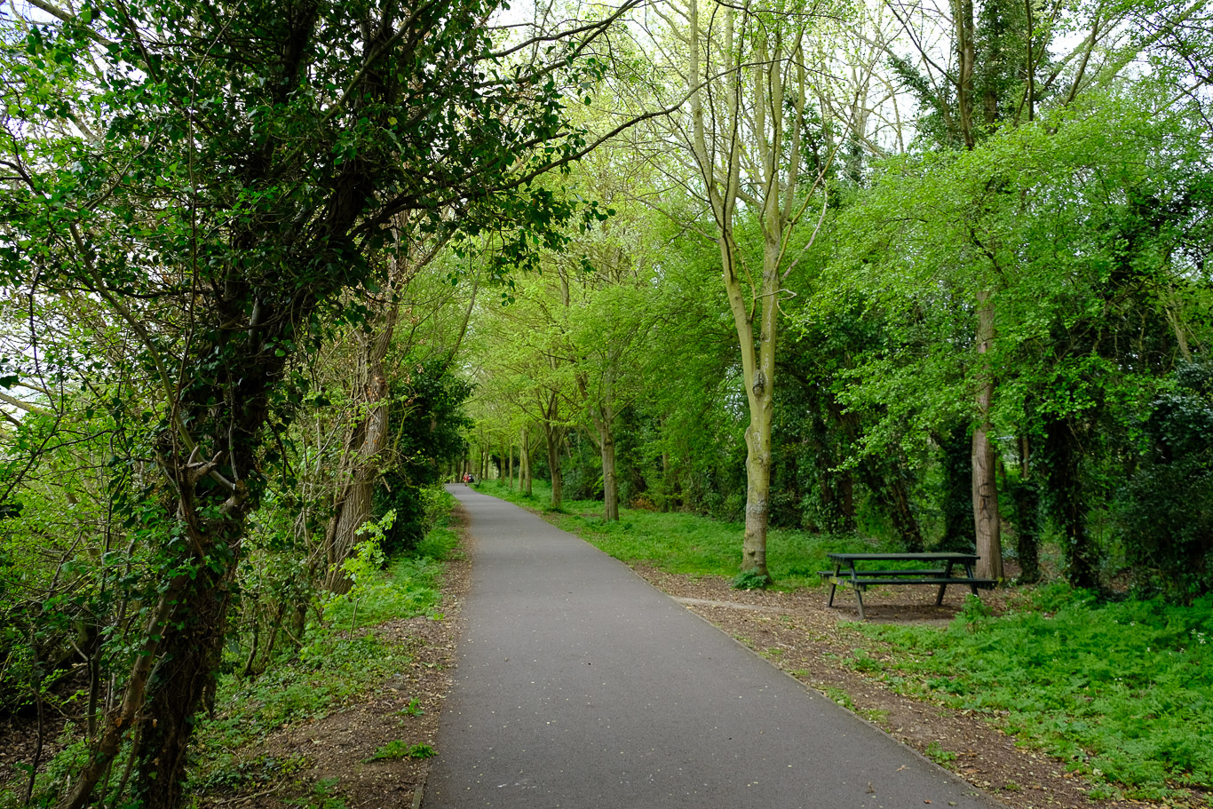
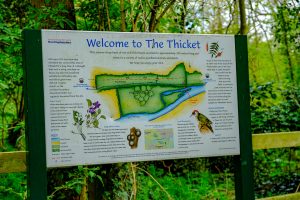
The path is quite quiet here but there were actually a number of people using the path. Initially the path runs alongside the river (on your left) and then later through Thicket Wood.
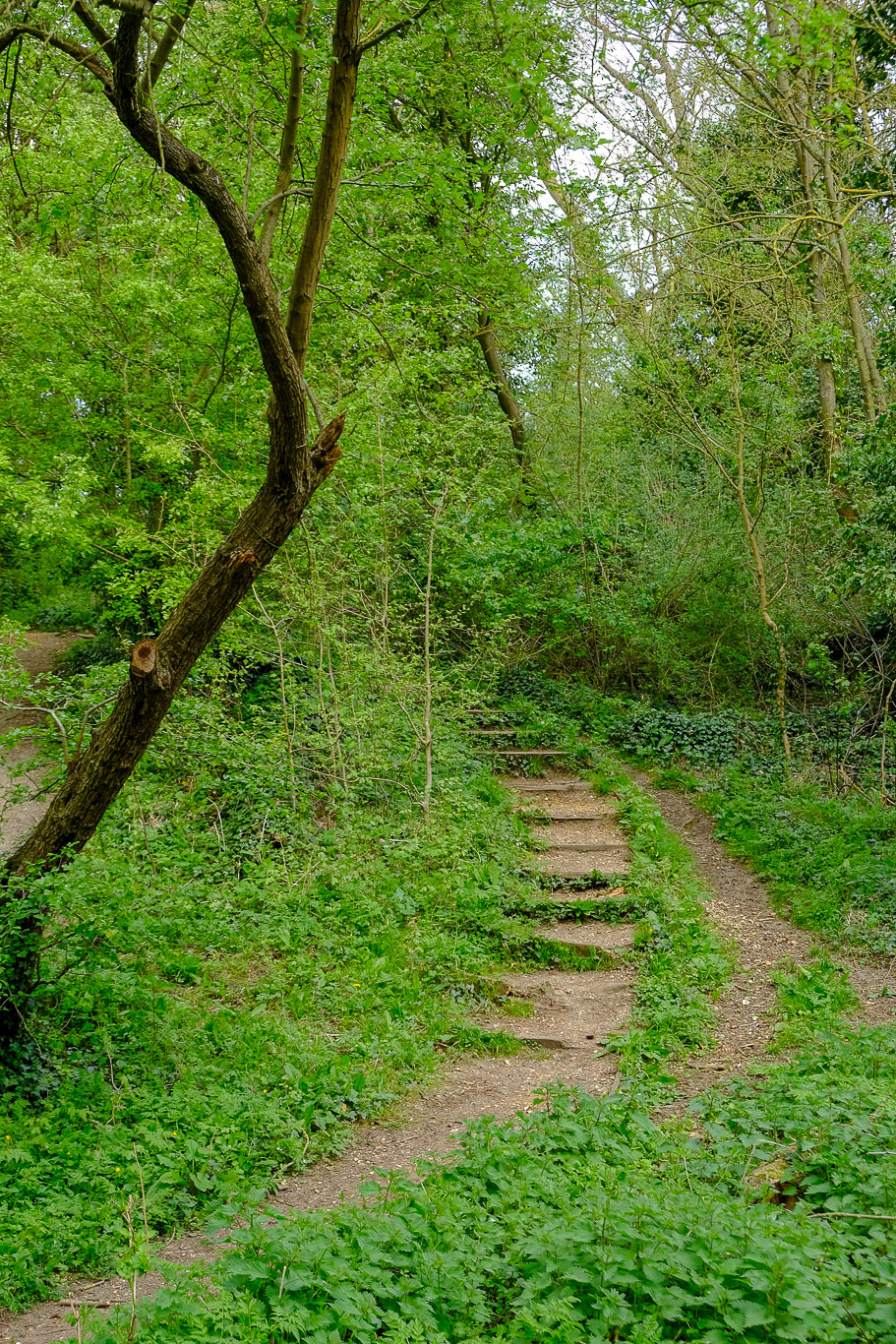
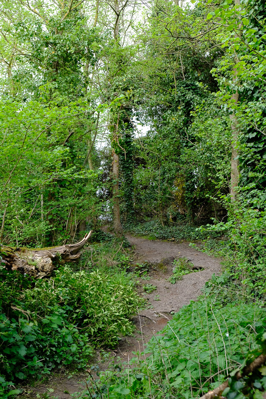
The blue line you can just about see is the tarmac path I was following but I decided to make the slight detour into The Thicket, following the red line, a pleasant woodland walk and I only saw one other couple walking here so it was beautifully quiet.
The detour off the tarmac path goes into The Thicket which basically runs alongside the tarmac footpath below it.
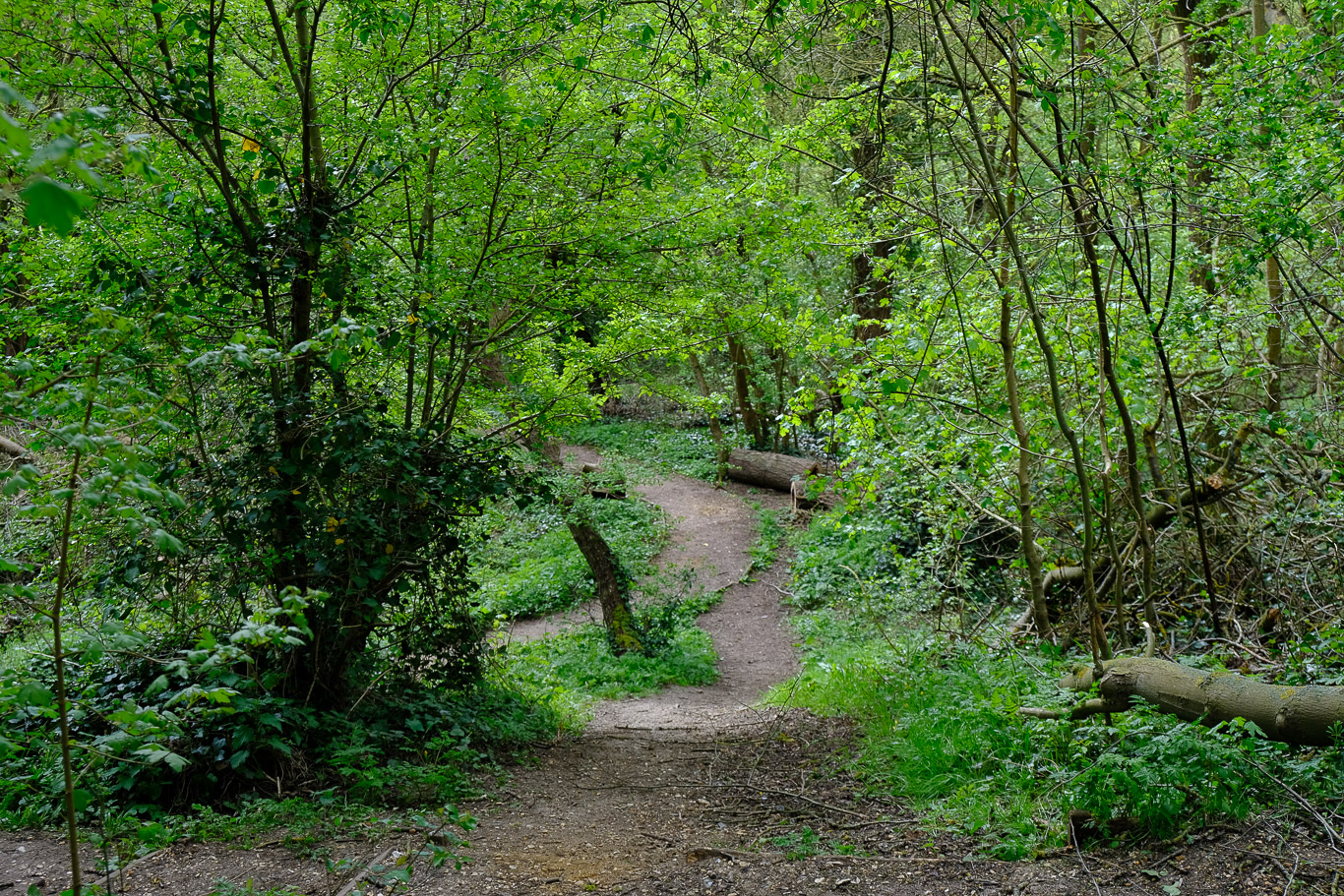
Looking back at the way I’d walked.
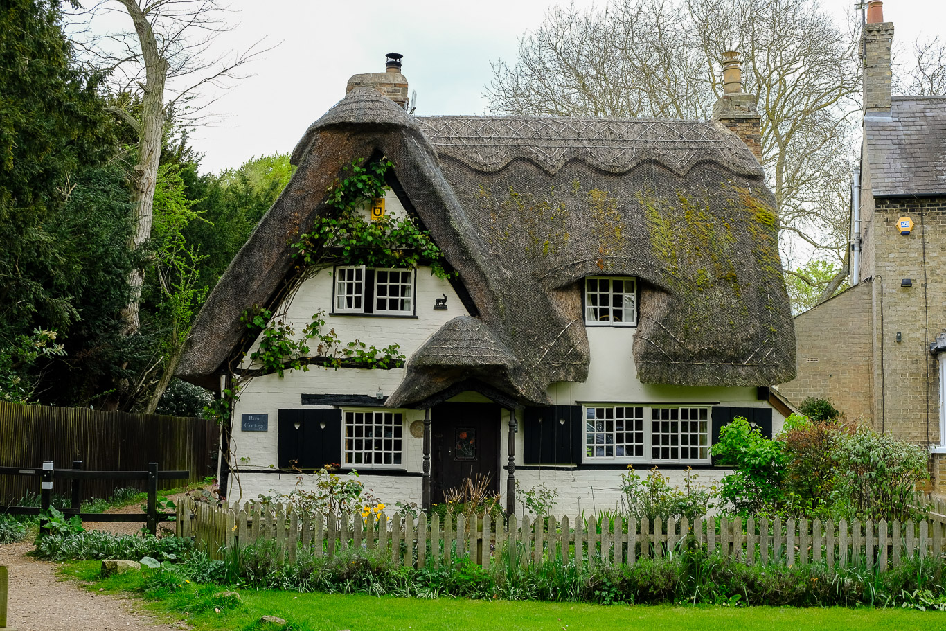
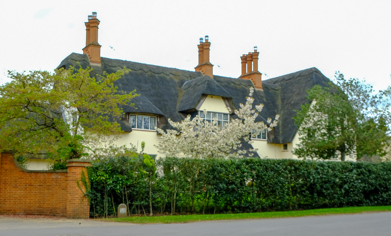
After a mile and a half the path brings you out into a lane (Thicket Road) and then into Houghton Village Square .This walk was characterised by beautiful chocolate box cottages, this being one of the prettiest I saw as I came to the Village Square in Houghton.
 The centre of the village has a distinctive thatched clock tower. When the clouds came over it was surprisingly chilly, I’m glad I brought my coat!
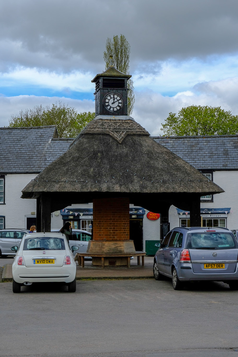
From the centre of the village I turned left along Mill Street, along another beautiful lane, heading towards Houghton Mill.
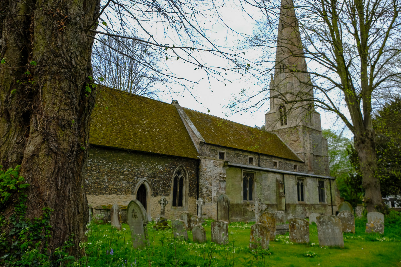
This is the mainly 14th-century church I passed on the way.
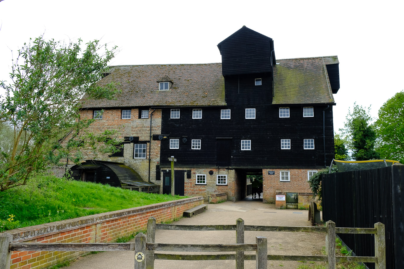
Houghton Mill owned by the National Trust is a 17th-century timber watermill, the oldest surviving mill on the Great Ouse. Later I would be walking through the archway ahead. Surprisingly there didn’t seem that much to see there but to the left of the photo is a little NT cafe and a great little place to stop for a spot of lunch – I was quite peckish by now and also ready for a loo stop!
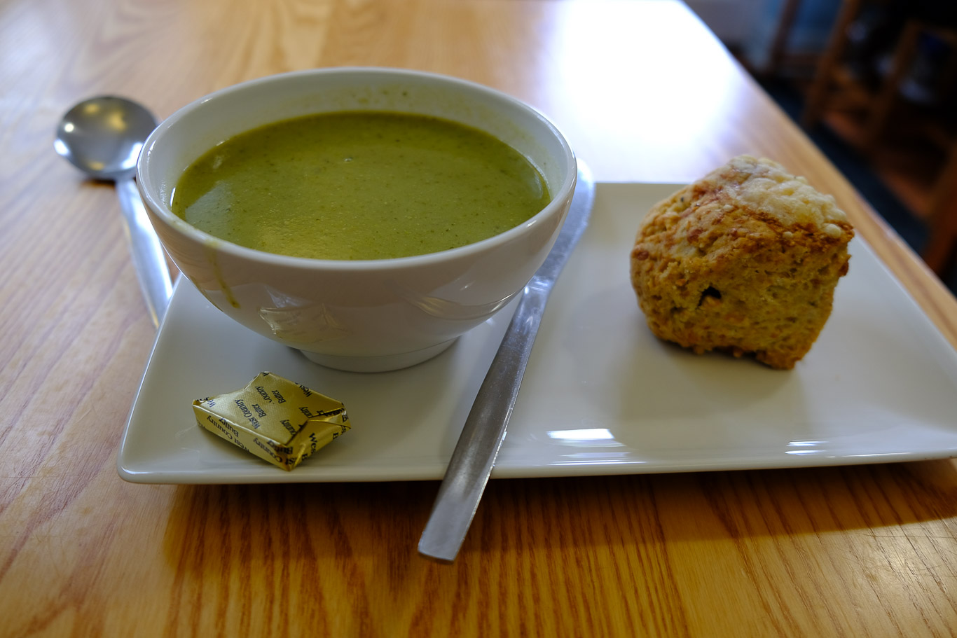
Pea, mint and lettuce soup and a cheese scone at Houghton Mill, perfect! Another interesting information poster just beyond the arch of the mill.
The grey clouds were looking a bit ominous and as I hadn’t brought my waterproof jacket (always a risky thing to omit when walking in the UK), I had my fingers crossed that the rain wouldn’t follow.
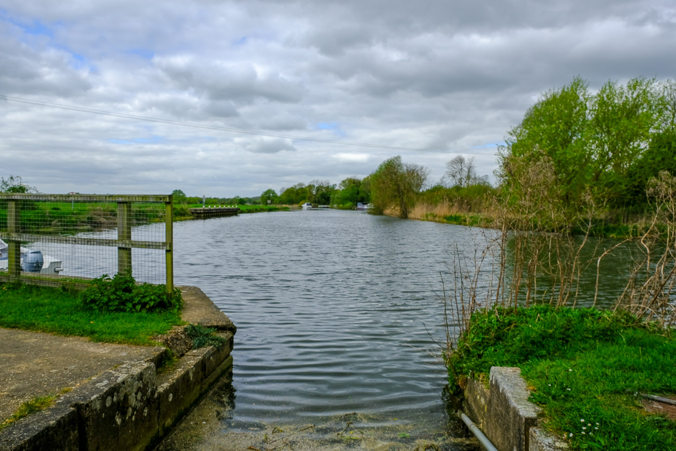
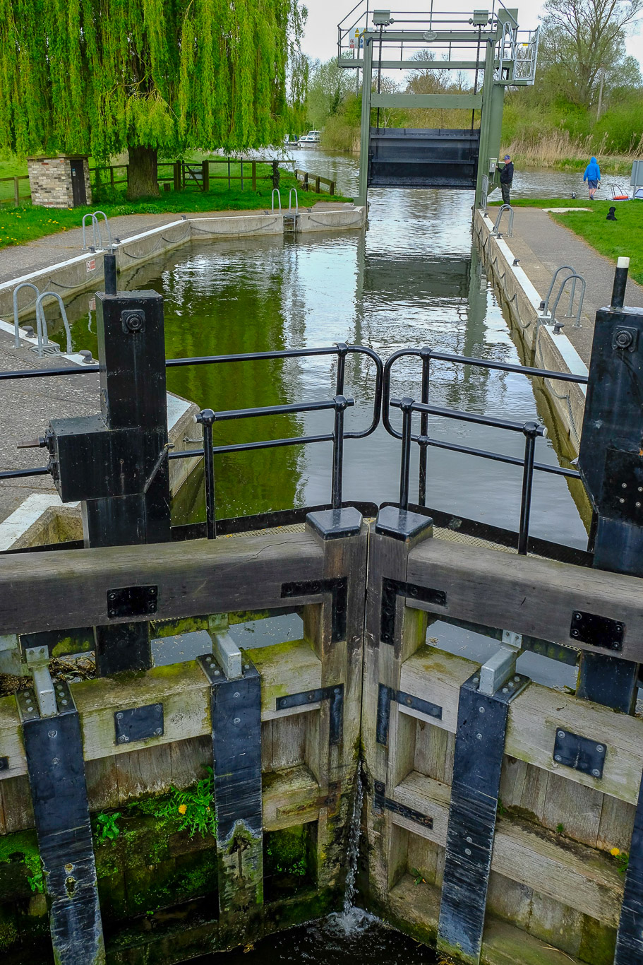
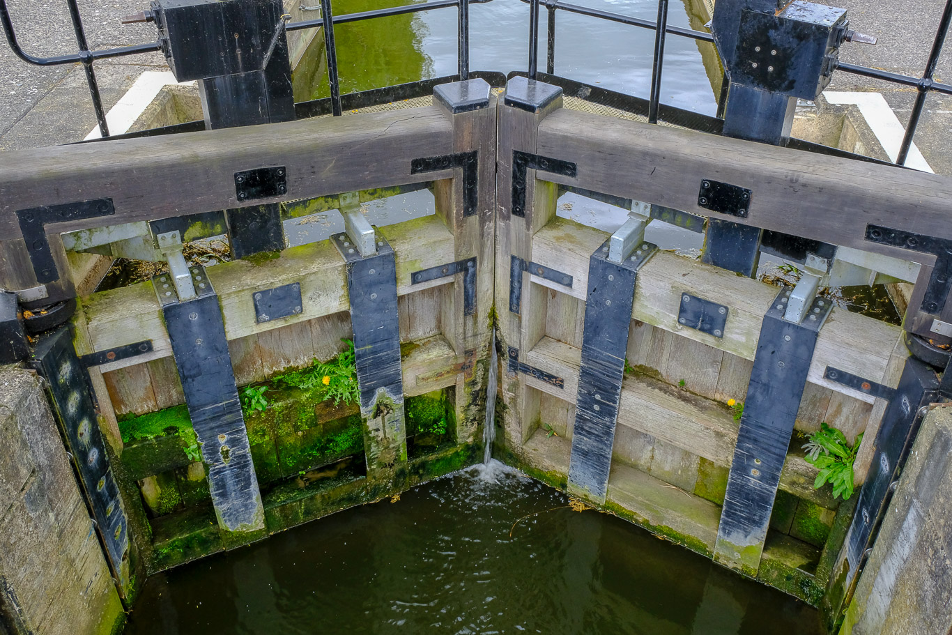
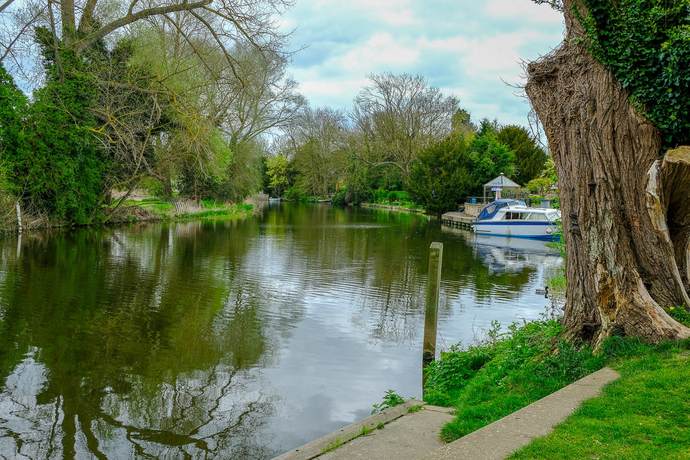
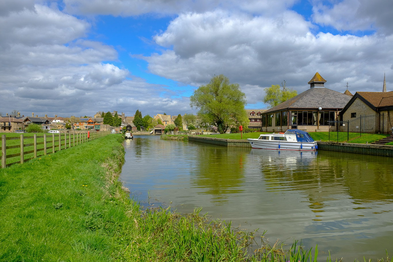
Houghton Mill Lock. The river was quite busy with various pleasure boats going up and down.
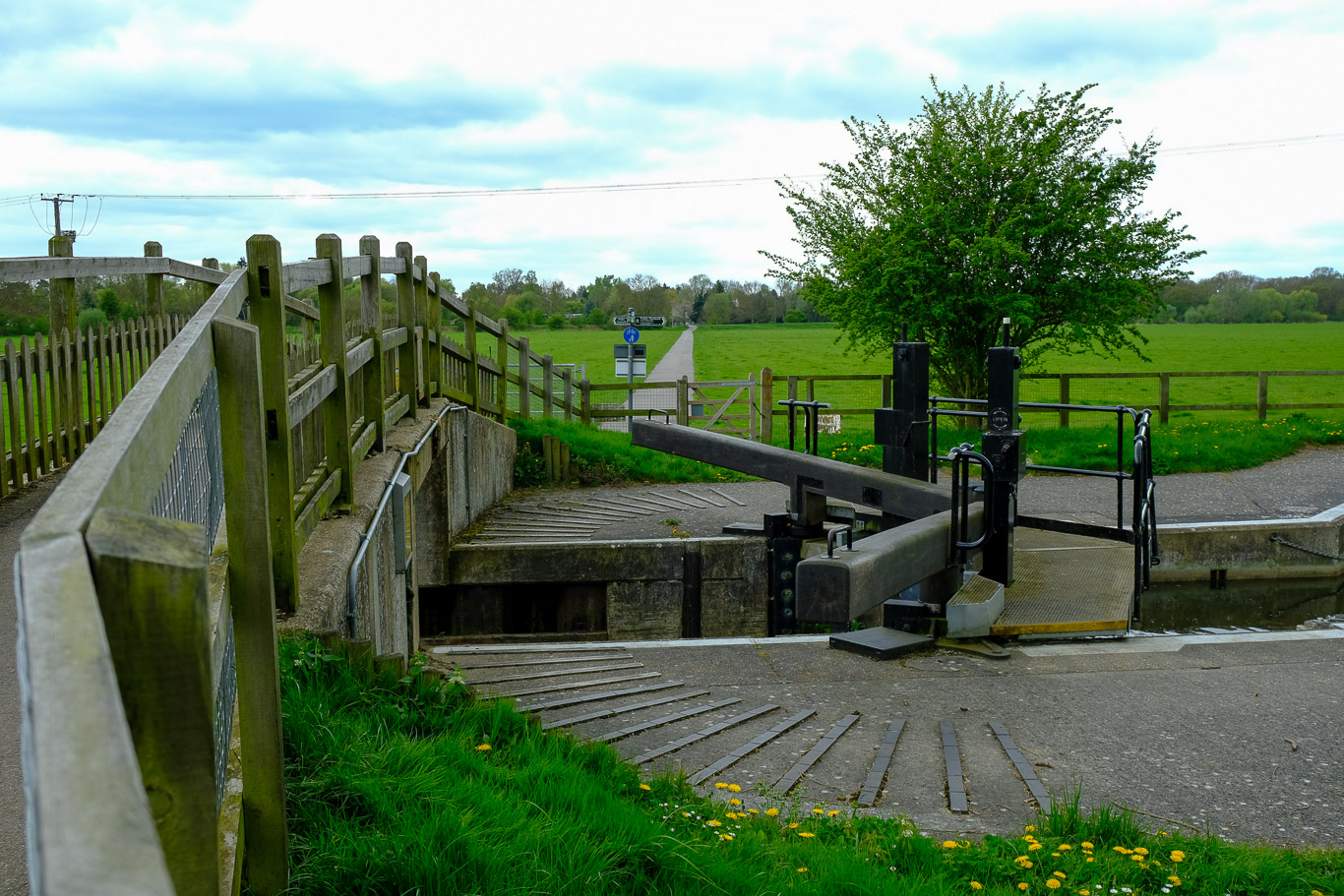
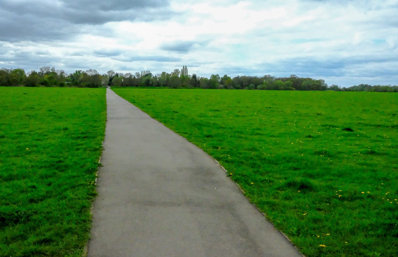
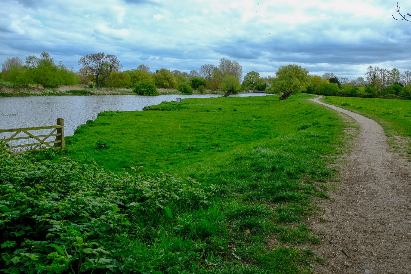
Once passed the lock, through the gate and the tarmac path ahead takes you across Hemingford Meadow, my how the wind blew . . . pretty chilly at this point! So across the meadow and through the gate at the other side.
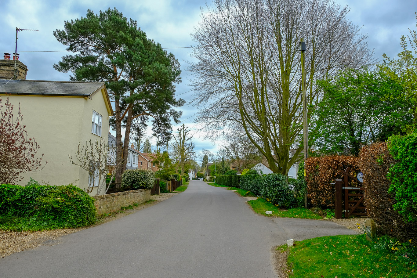
At this T junction I turned left along a road through the picturesque village of Hemmingford Abbots.
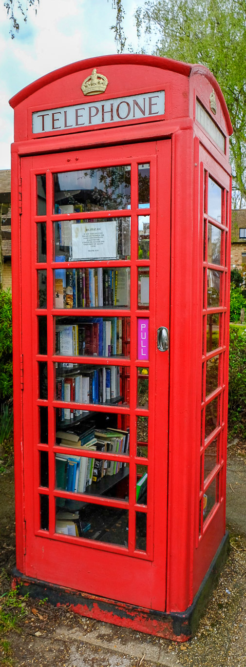
An old style phone box now being used as a local book borrowing venue.
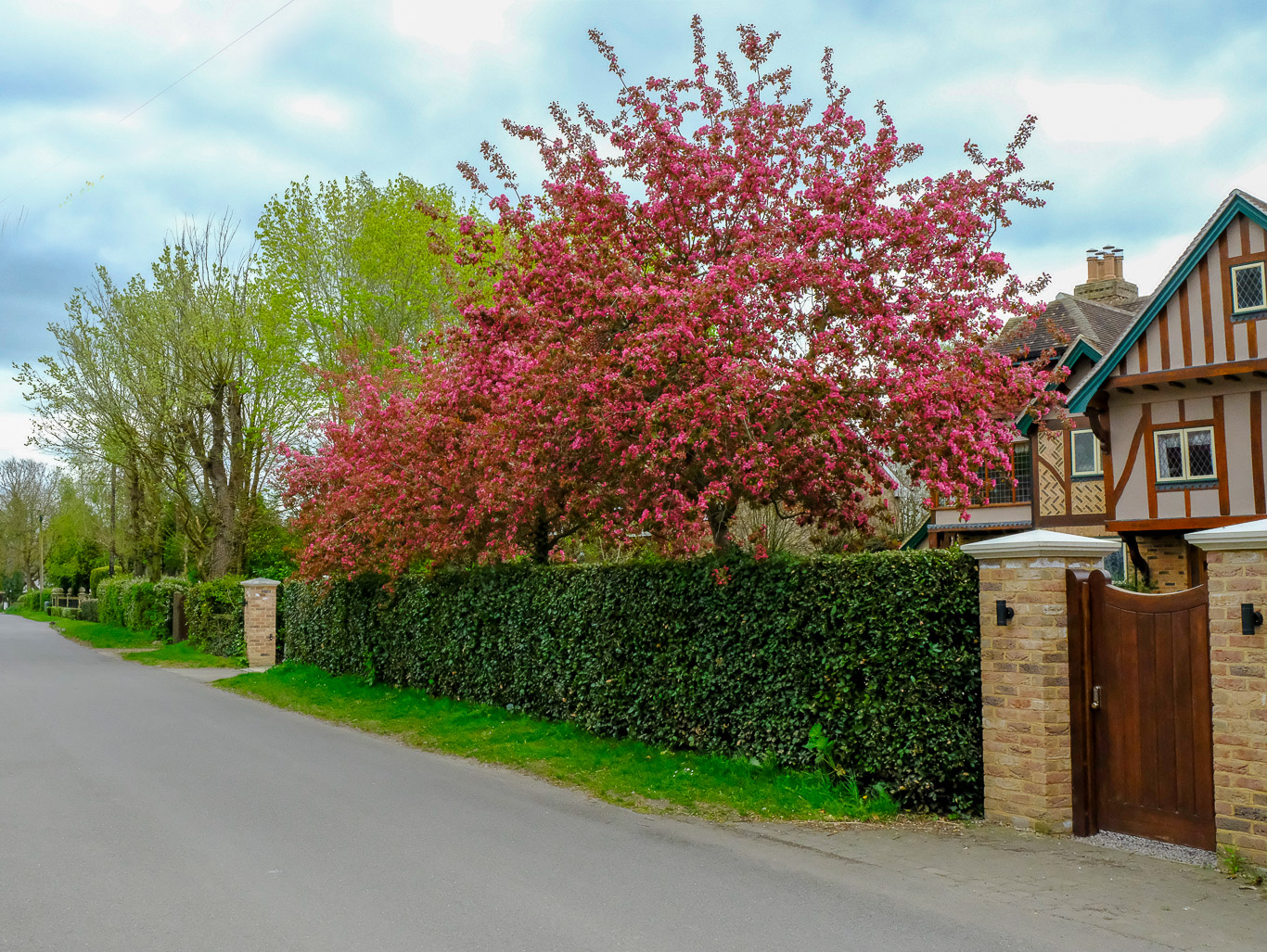
The cherry tree is full bloom, beautiful . . .
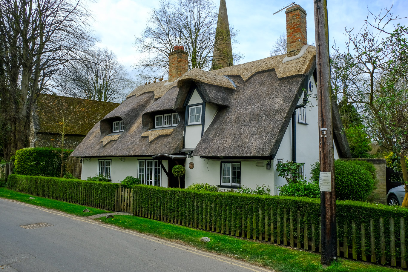
 I turned left at a public footpath sign beside a thatched black and white cottage, walking to begin with along an enclosed tarmac path to a kissing gate then across this field. Today I was trying out various setting on my new camera, one of the settings makes the colour in the photo more vivid, it certainly seems to have done the trick here. Now on to the final leg of the walk.
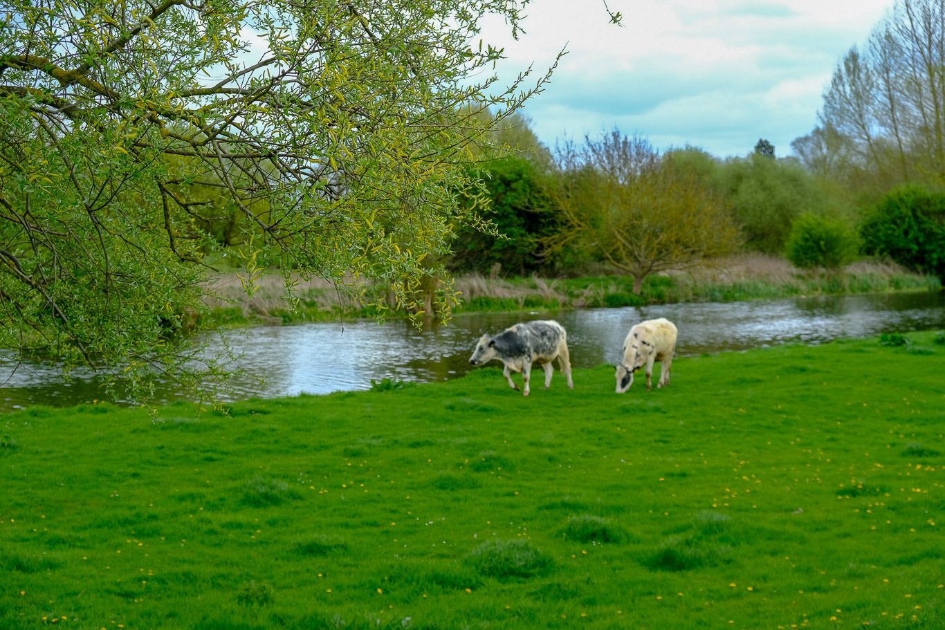
A beautiful rural scene with the river and the cows grazing.

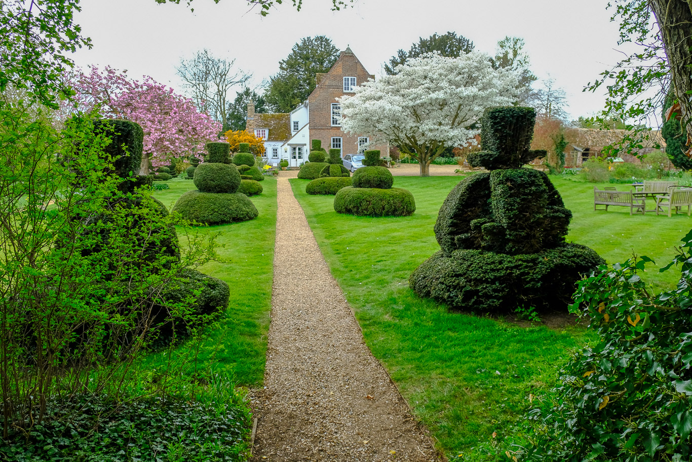
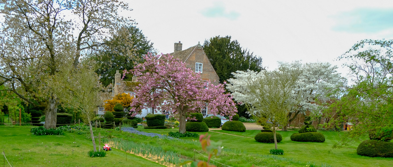
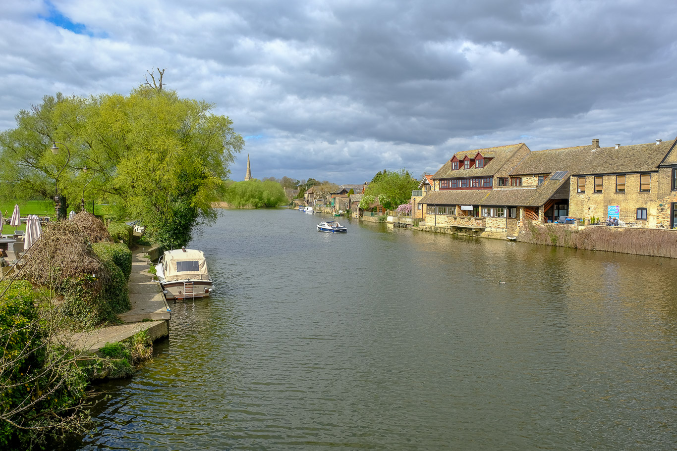
I continued along the riverside meadows along a tarmac path beside the Great Ouse to Hemingford Grey. The house shown above is the manor house, allegedly the oldest continuously inhabited house in England, with parts dating back to the 12th century. The garden is open to the public (you need to bring money for this), but as Mila was at home on her own I didn’t want to be away too long so I thought I’d save that pleasure for another day.
 A beautiful stretch of the river . . .
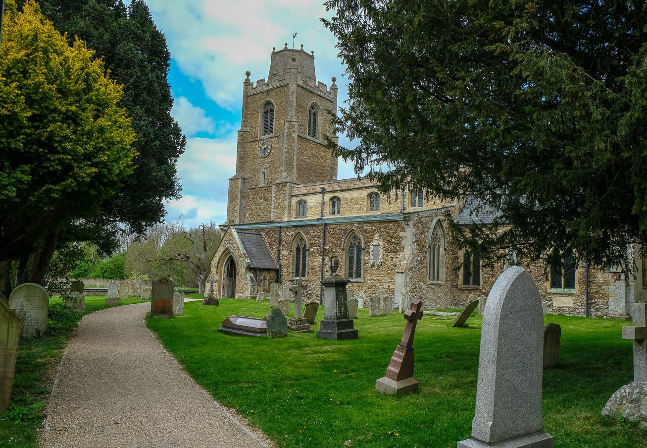
. . . Notice the strange truncated spire of Hemingford Church ahead. I’ll explain the story about curiously shaped spire below . . .
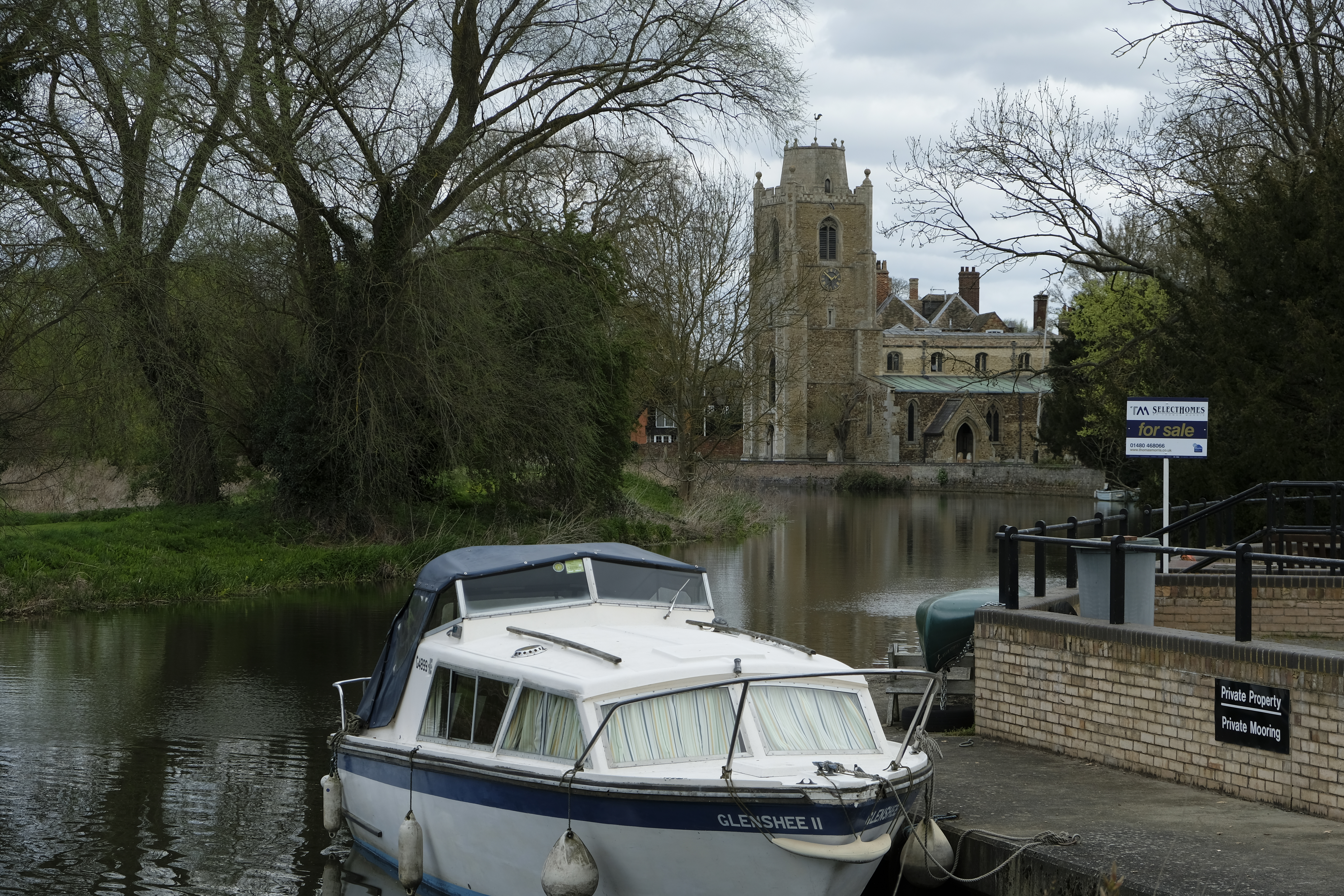
. . . The guidebook tells me that the reason for the unusual spire on the church at Hemingford Grey is that it was destroyed by a hurricane in 1741 and what was left was simply levelled off!
From the church I turned right into the village and at the public footpath sign turned left along the enclosed and delightfully named, Love Lane. This ultimately brings you into Hemingford Meadow seen below.
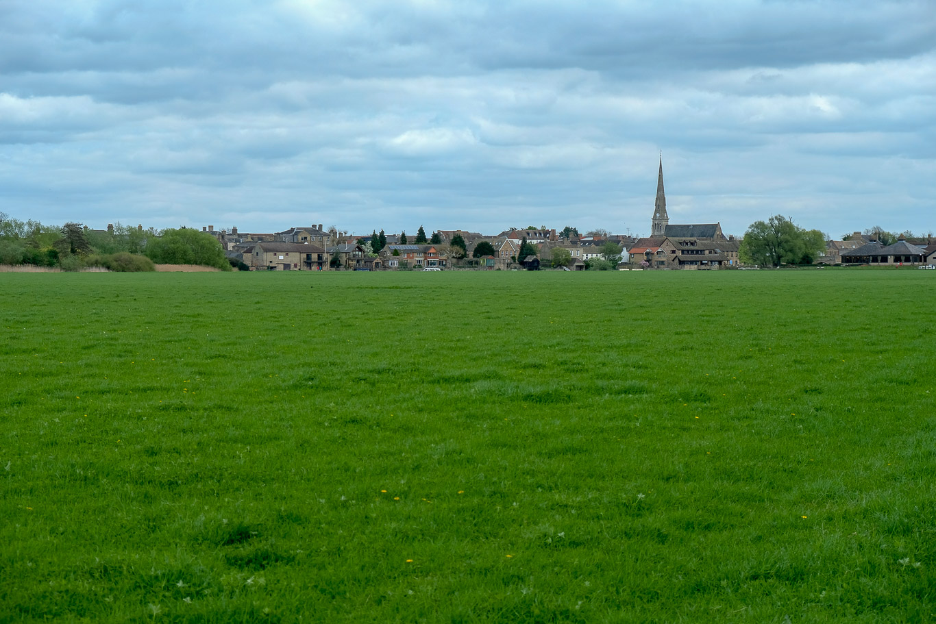
Hemingford Meadow is a managed traditional hay meadow and is rich in both wildlife and wildflowers so the guidebook tells me though today it just looked like a regular field, but, hey ho, what do I know! There’s views across it to St Ives and the end of my walk is now in sight.
At the end of the meadow I would head under the arch of the Dolphin Hotel complex to a road.
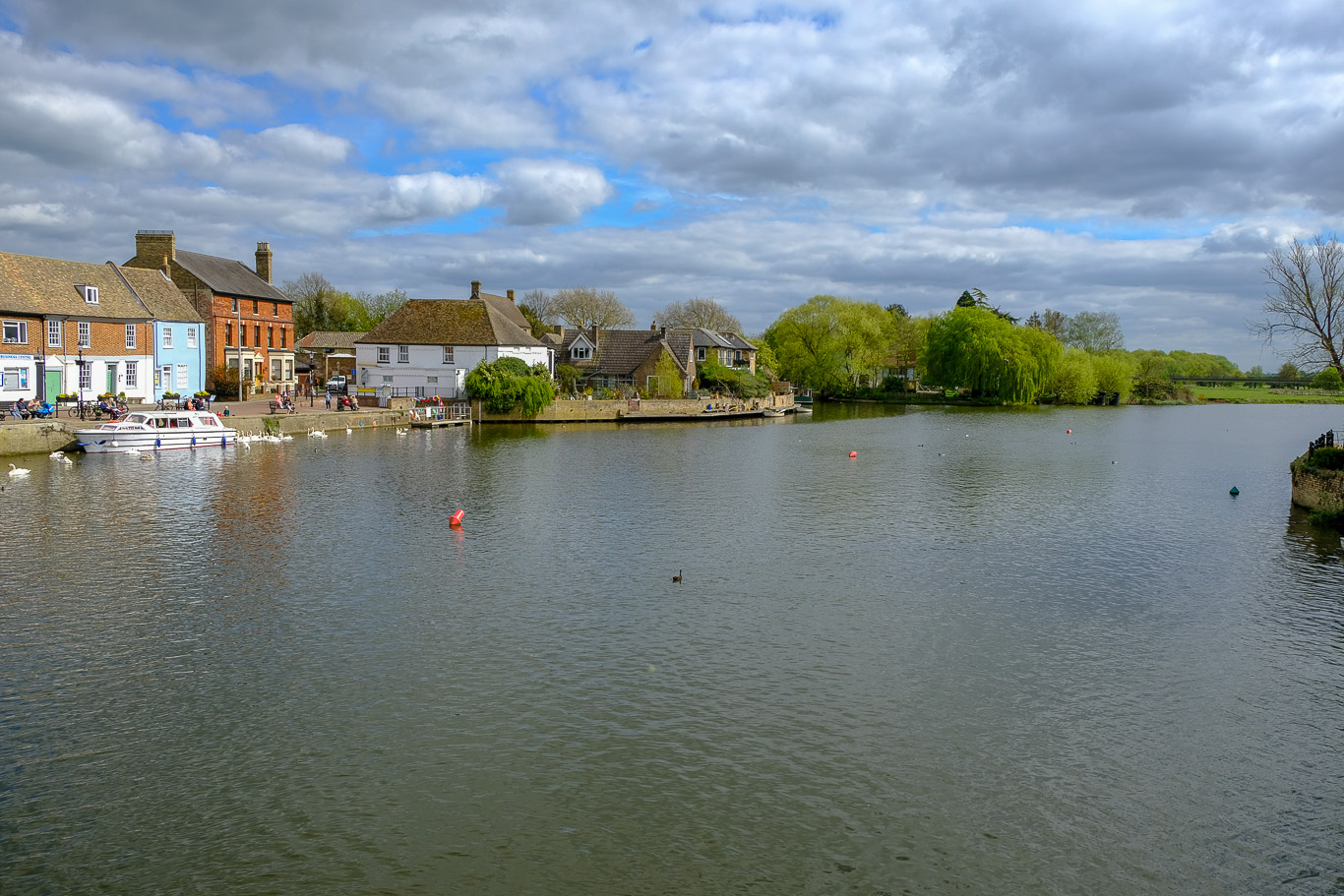
Across the bridge and it’s not far back to the centre of St Ives.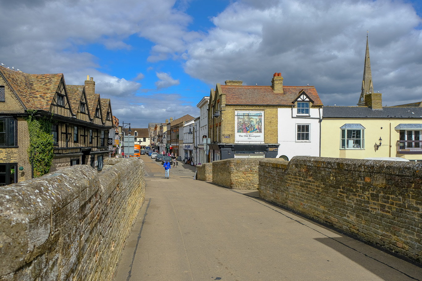 The view from the bridge and pretty much the end of my walk. Just a quick walk back through the market with some of the stall holders starting to pack away their goods and time for me to get back to the car and navigate the busy A14 back to Cambridge and home. I’m really pleased that I did this walk even if it was on my own and I’ll definitely do more, though I’m not sure how many I will try and post on this website as it’s taken me all afternoon; there must surely be a quicker way than the way that I’m doing it, technology is definitely not my thing!
From the market place it was only a short way back to the car, a lovely day and well worth another visit at some point!