 Wainwright 199 – Book 3 ‘The Central Fells’
Height: 1,363ft – 415m
Grid reference: NY 264 162
Walks including Grange Fell (Brund Fell):
G
There seems to be some disagreement in the information I have on this fell! Wikipedia states that Wainwright credits Grange Fell with three main summits, namely Brund Fell, King’s How and Ether Knott. It is however the lesser known Ether Knott which is now known to be the highest point at a height of 419 metres (1,375 feet); while Brund Fell is at 415 metres (1,363 feet) and King’s How which has the best viewpoint has an altitude of 392 metres (1,286 feet).
Mark Richards in his Lakeland Fellranger series ‘The Central Fells’ states that Brund Fell is the actual top and refers to the two other summits being King’s How and Heather Knott (rather than Wikipedia which calls the highest point Ether Knott, Wainwright also refers to Ether Knott rather than Heather Knott – though it is behind a barricade of long heather) which Mark says, “set well to the north, remains little visited, being considered too much of a nuisance to bother with.” Though he goes on to say, “But walkers who think like that miss out.”
Pal and Mila waking along the side of the River Derwent with Grange Fell’s three summits: King’s How (on the left, and best known) and Brund Fell (the name ‘Brund’ is thought to refer to a tradition of ‘heather burning.’ on the right. Ether Knott is the third and highest summit which is not visible. Photograph taken from the route from Rosthwaite heading for Castle Crag.
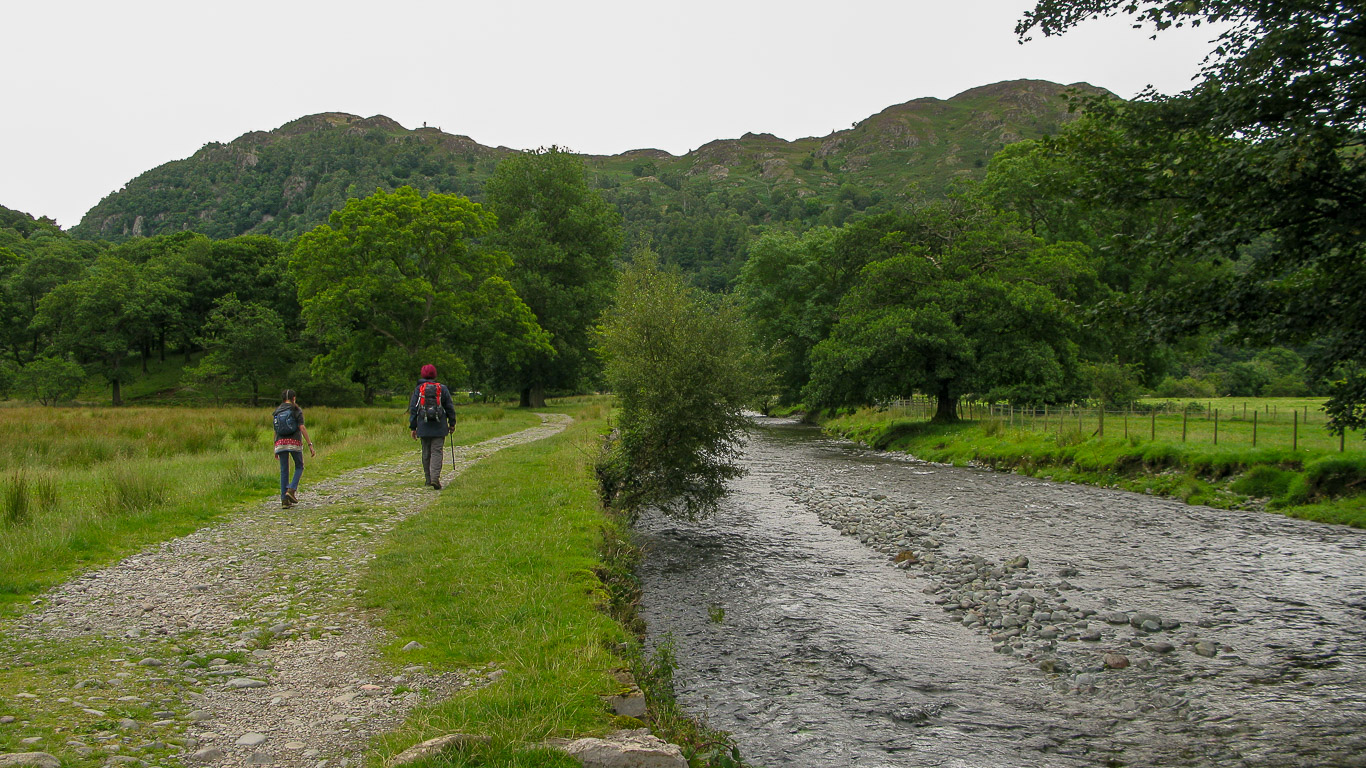
Following from the last photograph – walking by the River Derwent – Brund Fell, the highest of the three summits on Grange Fell.

I think the photograph below is of King’s How, the best known of the three summits on Grange Fell probably because it has such a magnificent viewpoint. It was one of the first purchases by the National Trust in the Lake District (in 1910) and was named after King Edward VII as a memorial at the bequest of the King’s sister Princess Louise who was the National Trust’s President at the time. (Photograph taken from our route up Castle Crag)
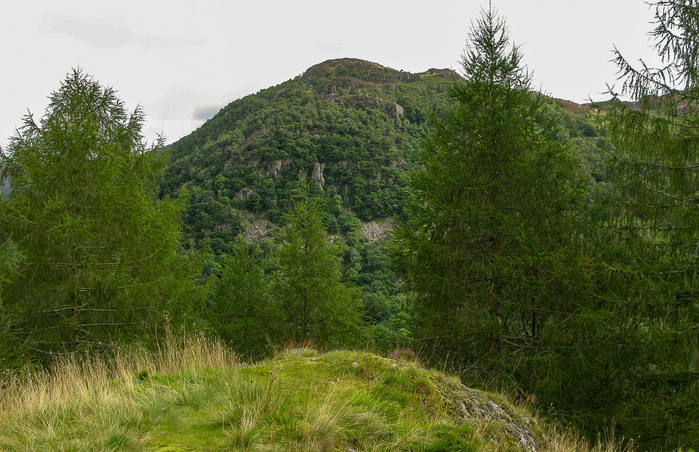
King’s How (the most popular of the Grange Fell three summits) taken from the summit of Castle Crag.
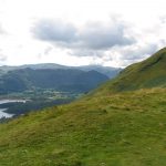
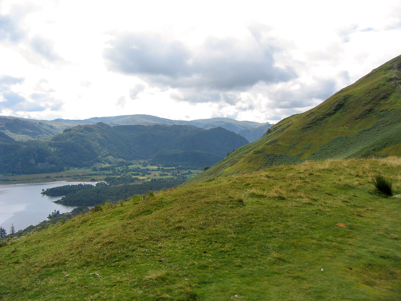
Photograph taken from Catbells: Beyond Derwent Water we have Grange Fell (the darker fell) with its three summits Ether Knott (the highest); then Brund Fell its next summit and the most visited of Grange Fell’s summits – the triangular shaped darkest part of the fell in this photo – King’s How (from which you get the best views and is the best known of the three summits). Beyond Grange Fell is Ullscarf and High Raise with Pike o’ Stickle being the little bump on the horizon (on the right before the green slopes of Catbells) with Rosthwaite Fell barely visible in front of it.
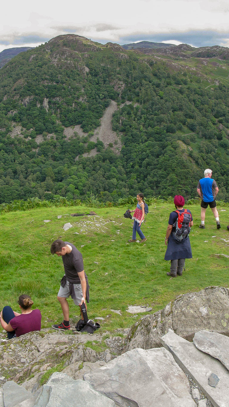
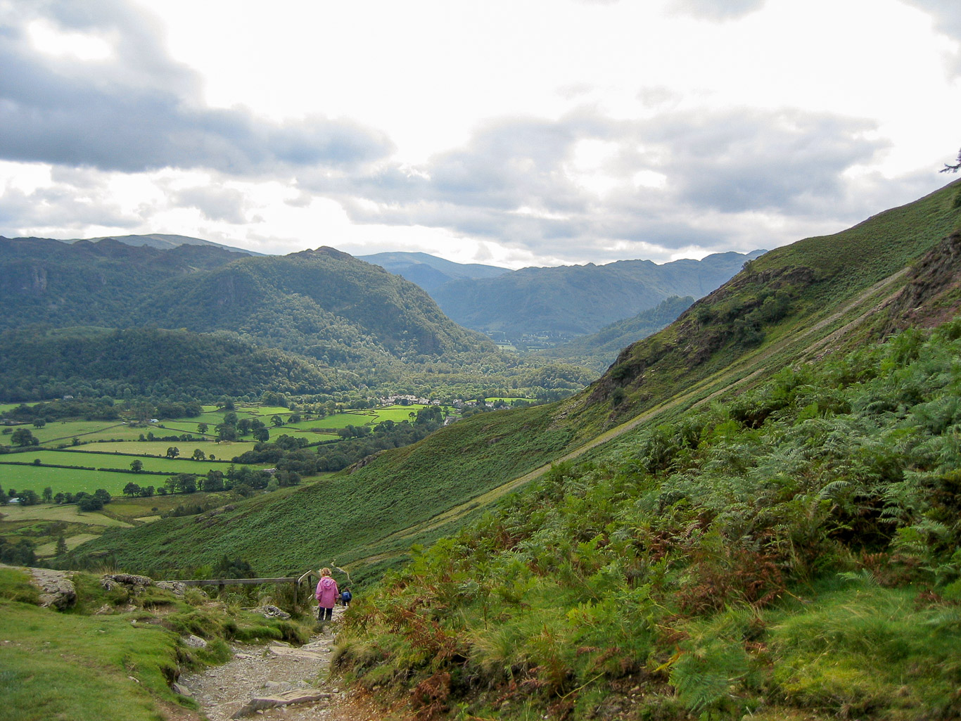
King’s How (Grange Fell) from the descent from Catbells summit. You can just see Castle Crag jutting up against the slopes of Catbells in the photograph below. Filling the valley gap you have: High Raise with Sergeant’s Crag in front then Rosthwaite Fell; Rosthwaite High Fell then Glaramara; Esk Pike and Allen Crags in front.
Another photo of Grange Fell taken from Catbells on a wet and very windy day.
