Wainwright 6 – Book 4 ‘The Southern Fells’
Height: 2,960ft – 902m
Grid reference: NY 244 064
Walks including Bowfell:
B
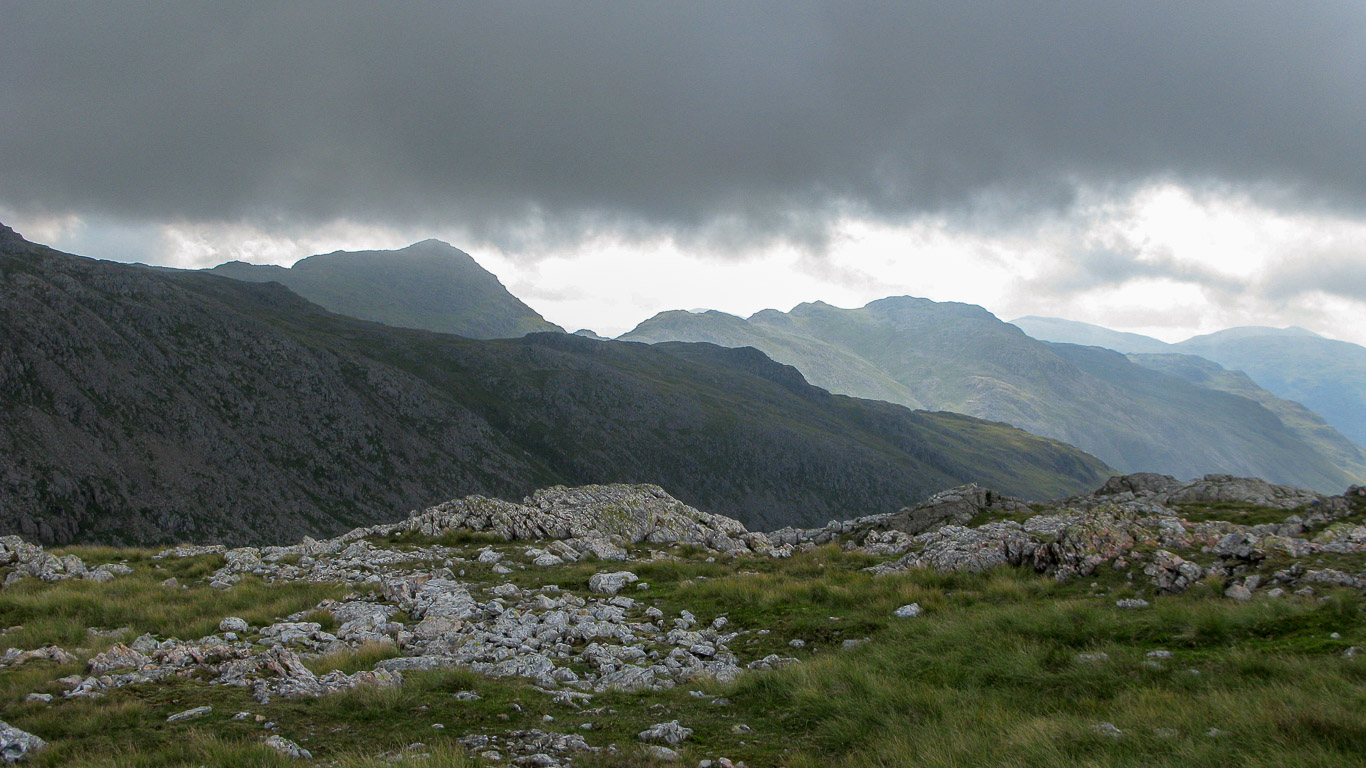
Ill Crag and beyond it Bowfell with Crinkle Crags in sunlight. Photograph taken from Broad Crag (heading for Scafell Pike).
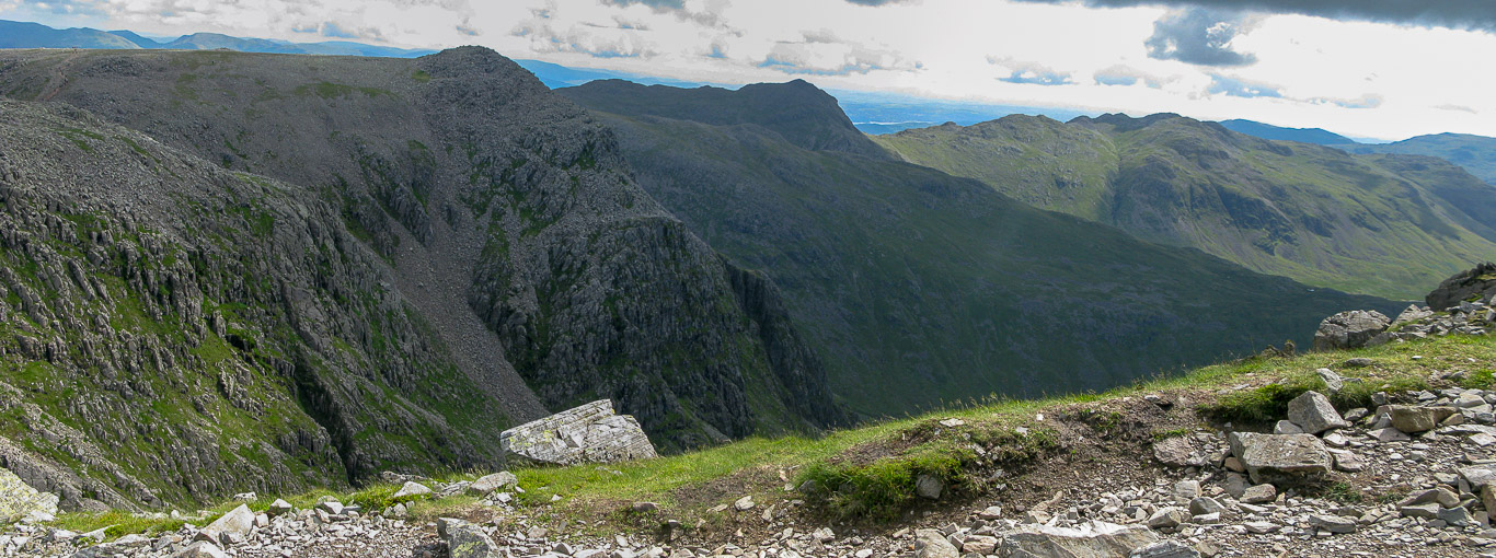
Broad Crag, Ill Crag, Bowfell and Crinkle Crags taken from the final ascent to Scafell Pike.

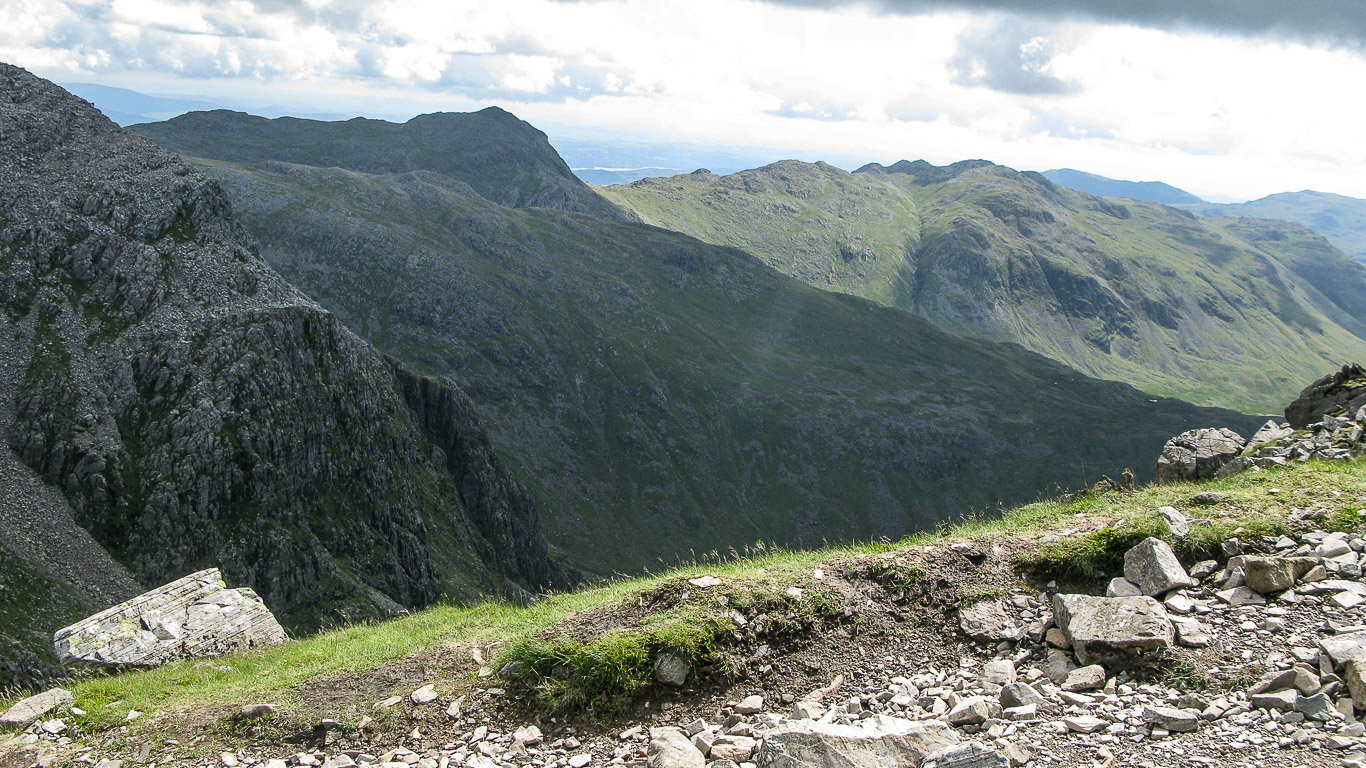
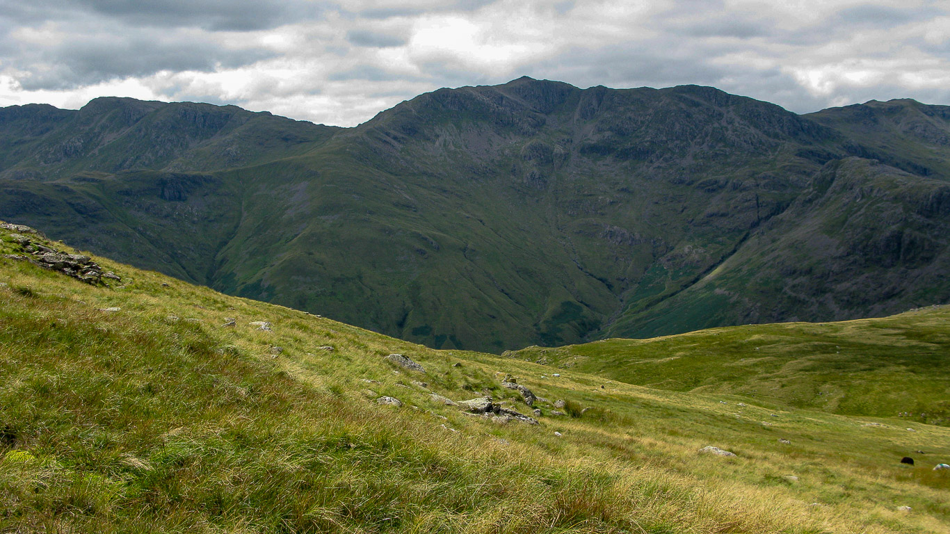
Pike de Bield, then Bowfell behind and to the right Crinkle Crags. (Photograph taken from the summit of Scafell Pike).
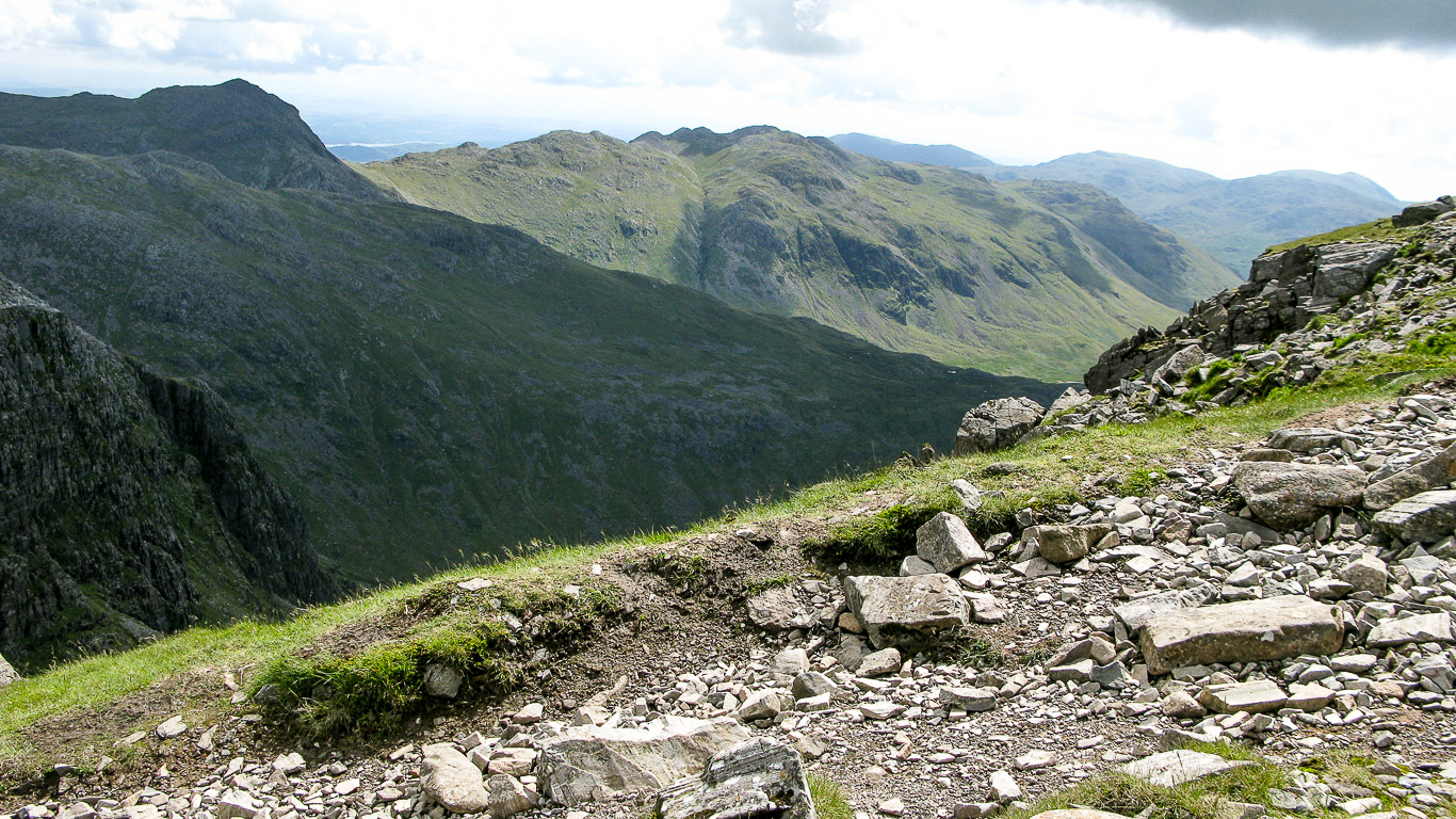
Bowfell is in the distance with Crinkle Crags to its right. Photograph taken from near Esk Hause on the way up to Scafell Pike.
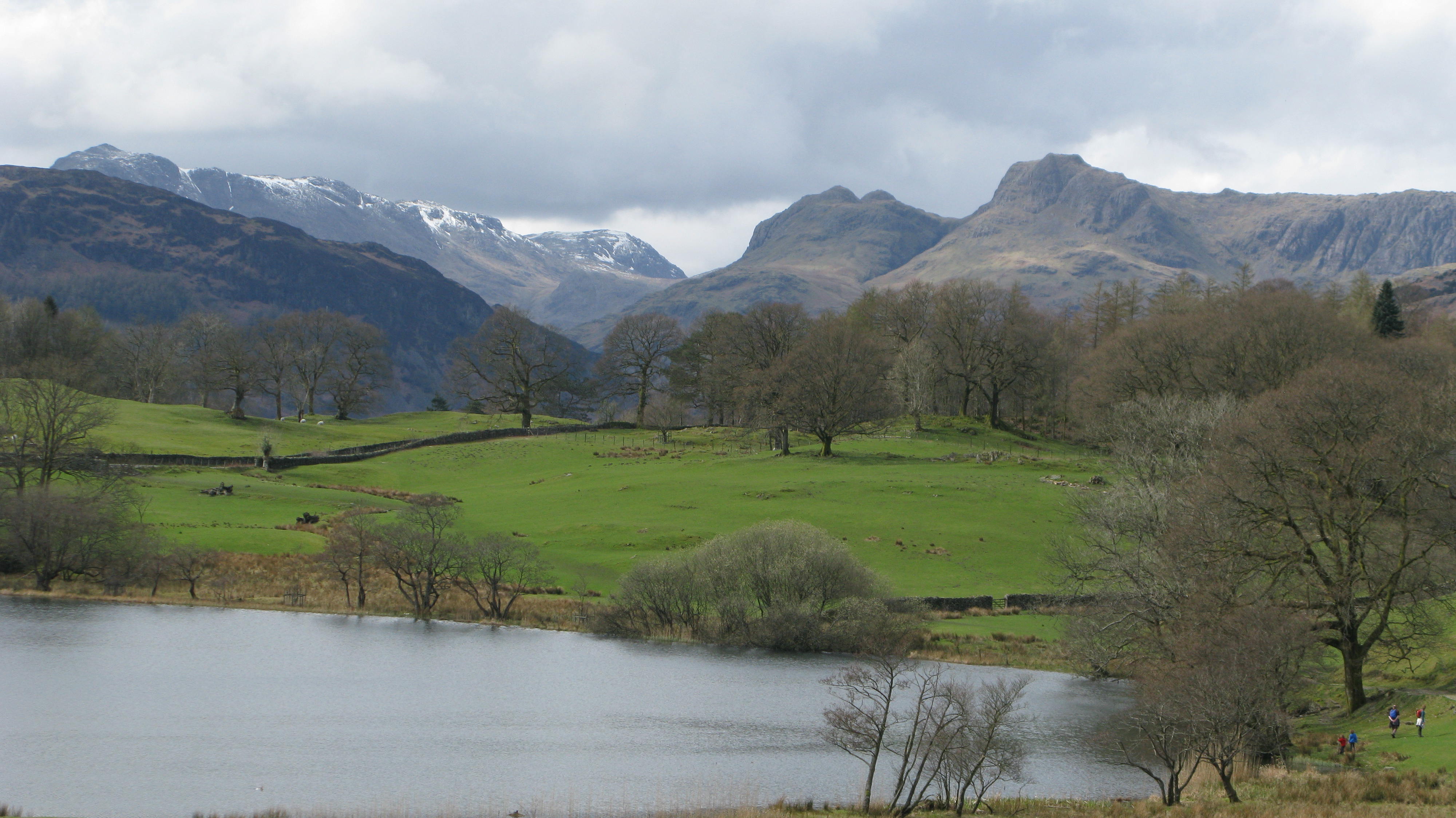
The Langdale Pikes on the right of the photograph (photo taken from Loughrigg Fell) with Loughrigg Tarn in the foreground.
Left to right: Lingmoor Fell, behind which is the snow-capped summits of Pike o’ Blisco; Crinkle Crags; Bowfell and Esk Pike. Then the rounded summit of Great End. The Langdale Pikes from the centre of the photo are Loft Crag; Pike o’ Stickle; Harrison Stickle; Pavey Ark and the triangular summit of Sergeant Man just visible.
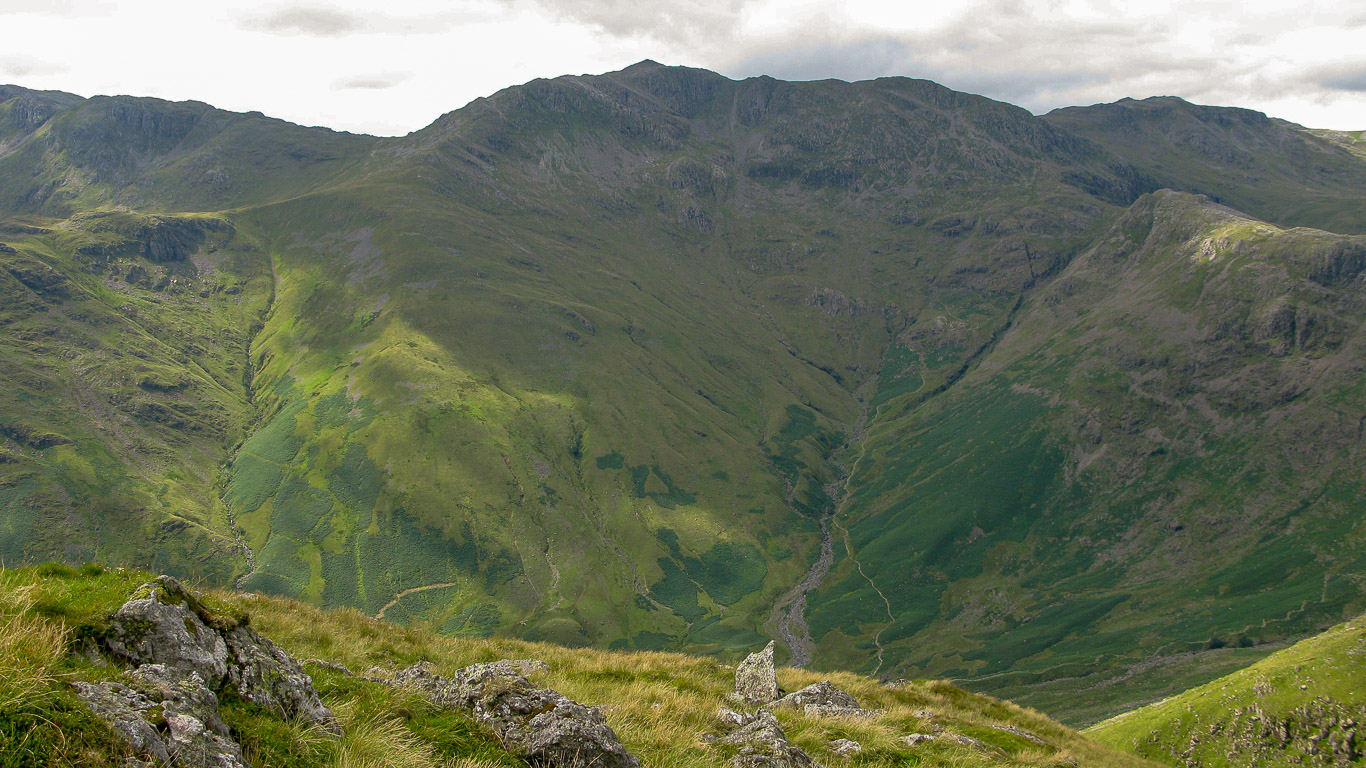
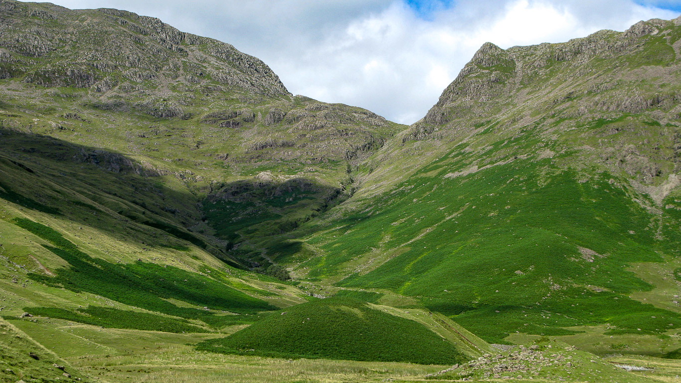
The steep rocky slope of Hanging Knott – Bowfell on the left, then Rossett Gill and Rossett Pass with Rossett Pike on the right, taken from the Mickleden Valley, Langdale.
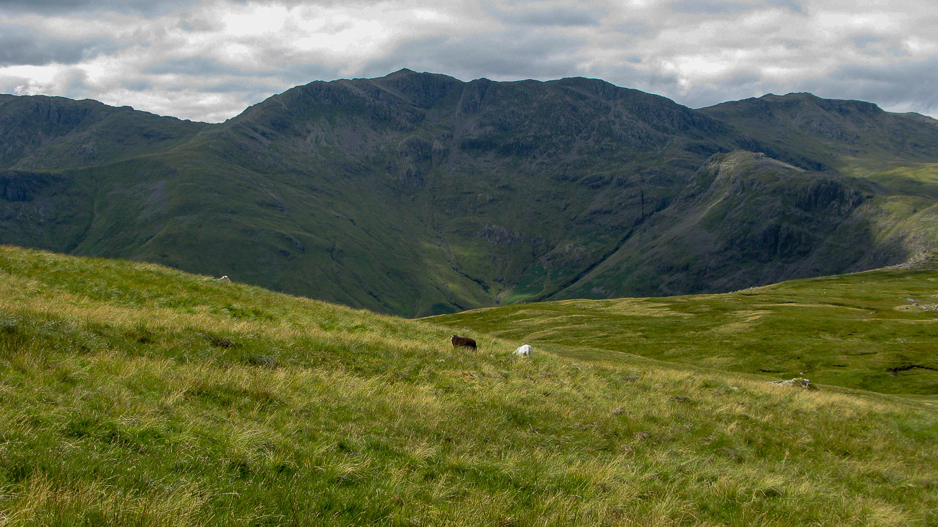
Bowfell (in the centre) at the head of The Band, with Crinkle Crags on the left of Bowfell and Rossett Pike on the right of the photograph, from the walk up the Stake Pass and Martcrag Moor on the route to Pike o’ Stickle.
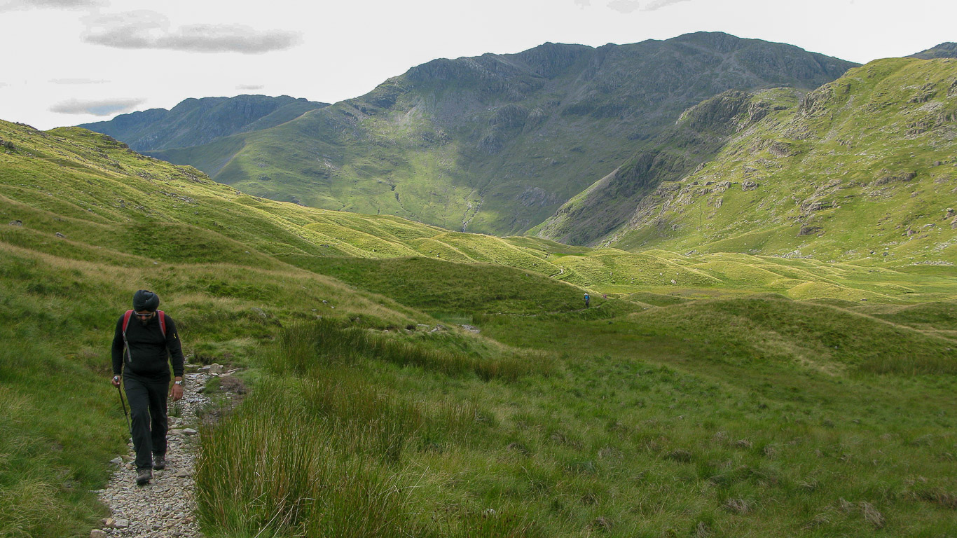
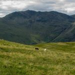
This photo was taken further along the route to Pike o’ Stickle. You have Crinkle Crags on the left with the distinctive sharp pointed summit of Bowfell in the centre of the photograph.
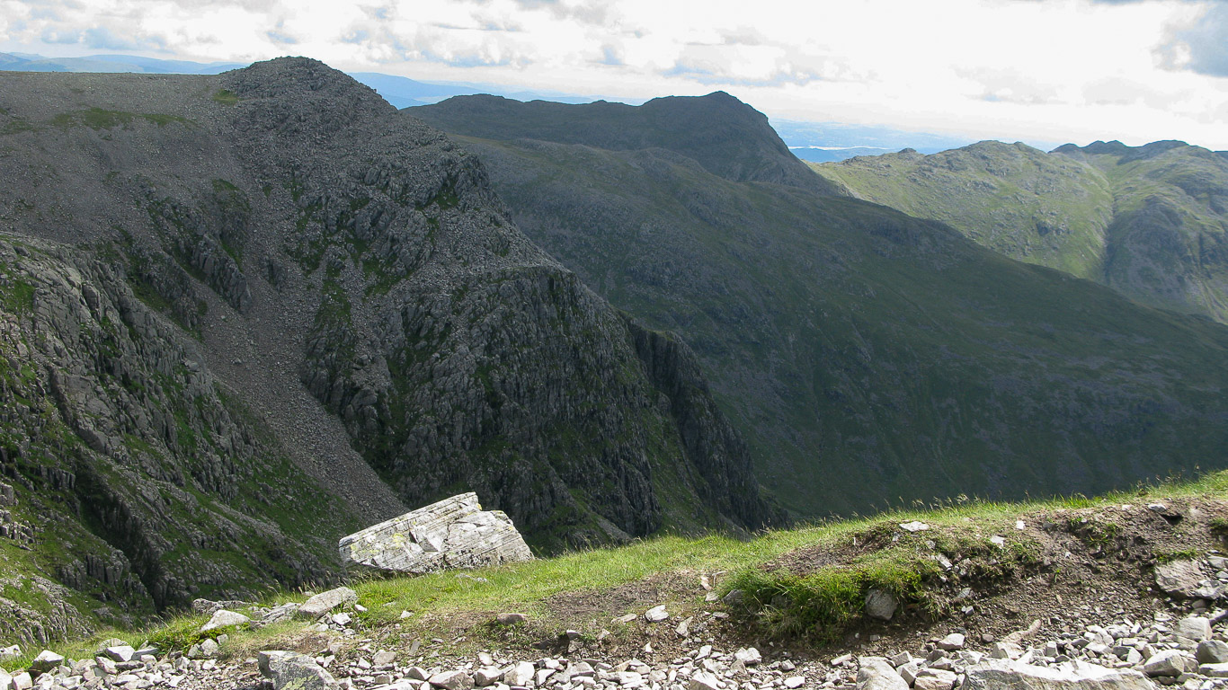
Another photo of Bowfell from the route up to Pike o’Stickle.